Manali -> Kaza – 1 Tunnel, 1 Pass and 1 Bridge
11. October 2023
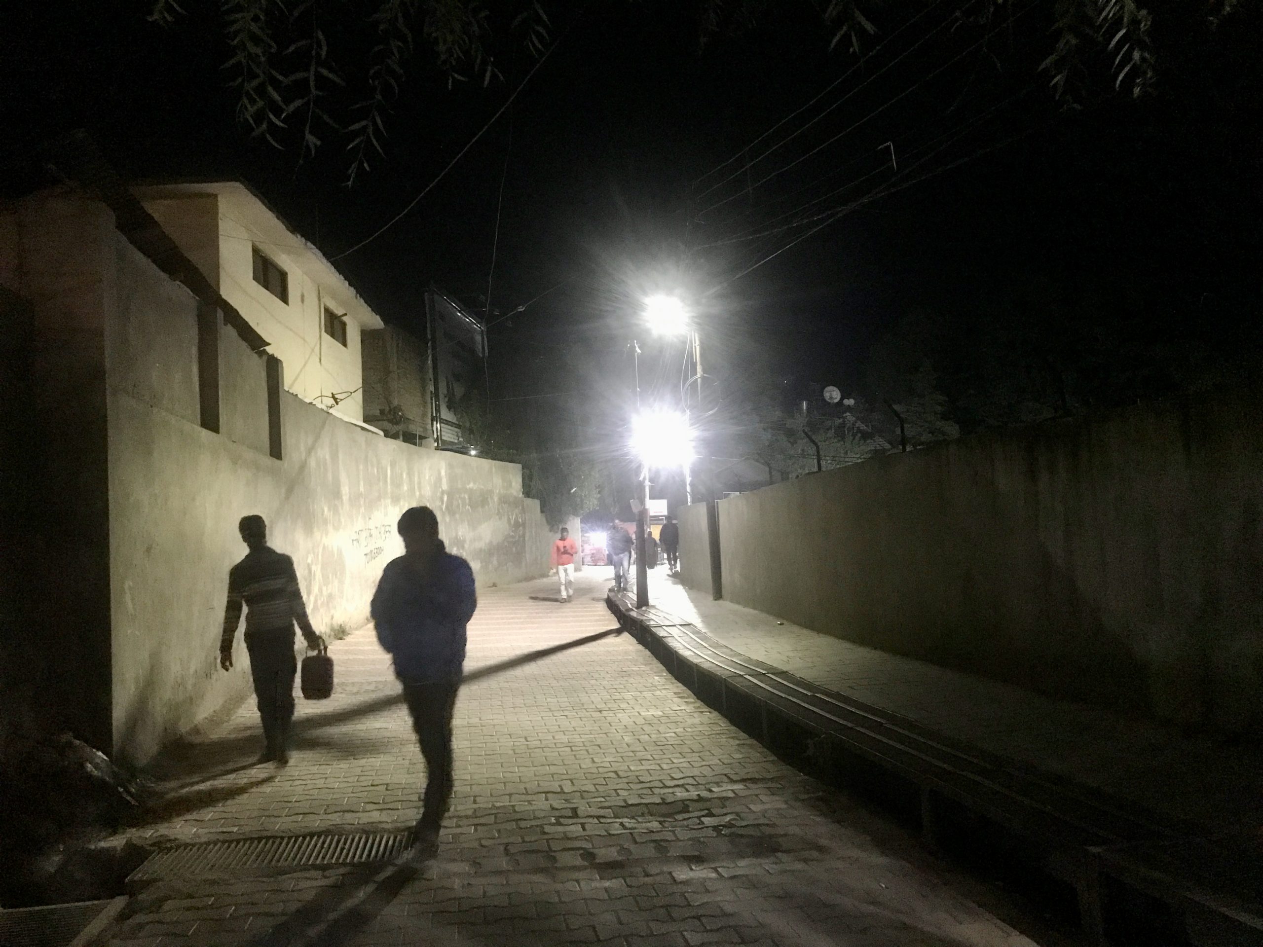
I used one day in Manali for various errands and in the evening I met with Amay Tenpa, a Zanskari whom I had contacted because of the boy who had died in the meantime and whom I had also met in Delhi earlier. Always without pictures, though. But it was nice and I met a cafe owner who is from Spiti and who immediately arranged accommodation for me and a Swiss man who was walking around on the street and had just come from Spiti and recommended accommodation in another village.
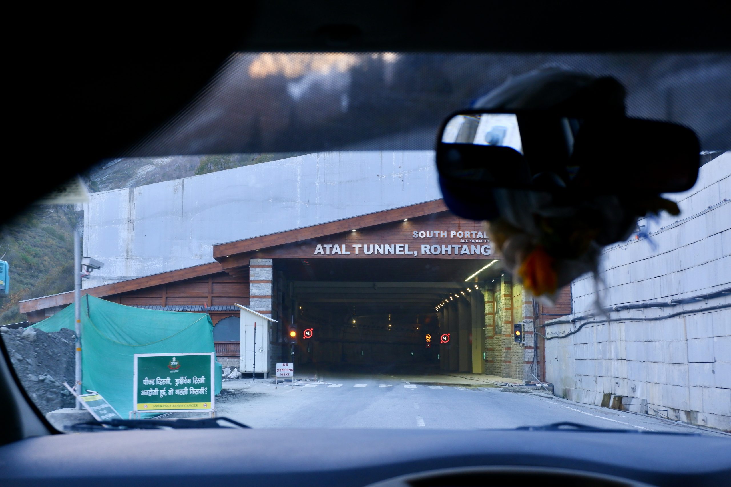
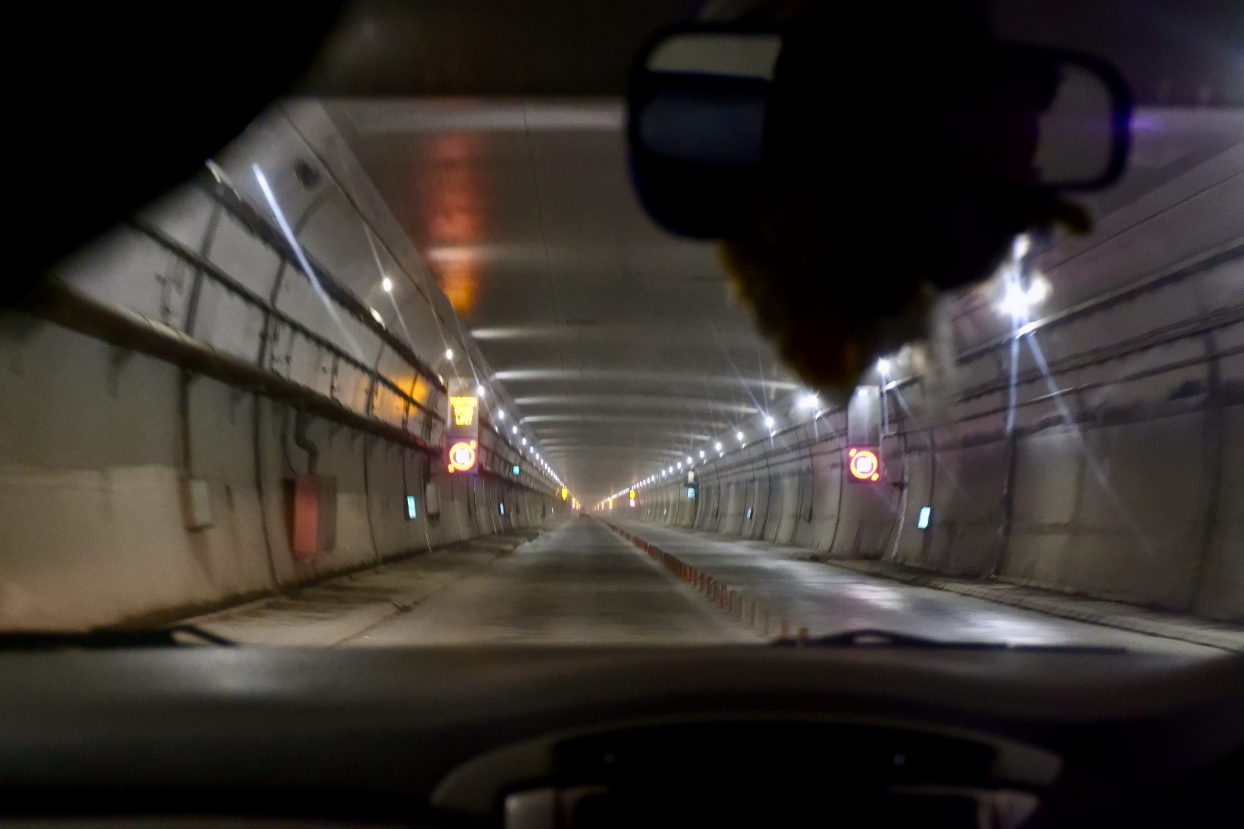
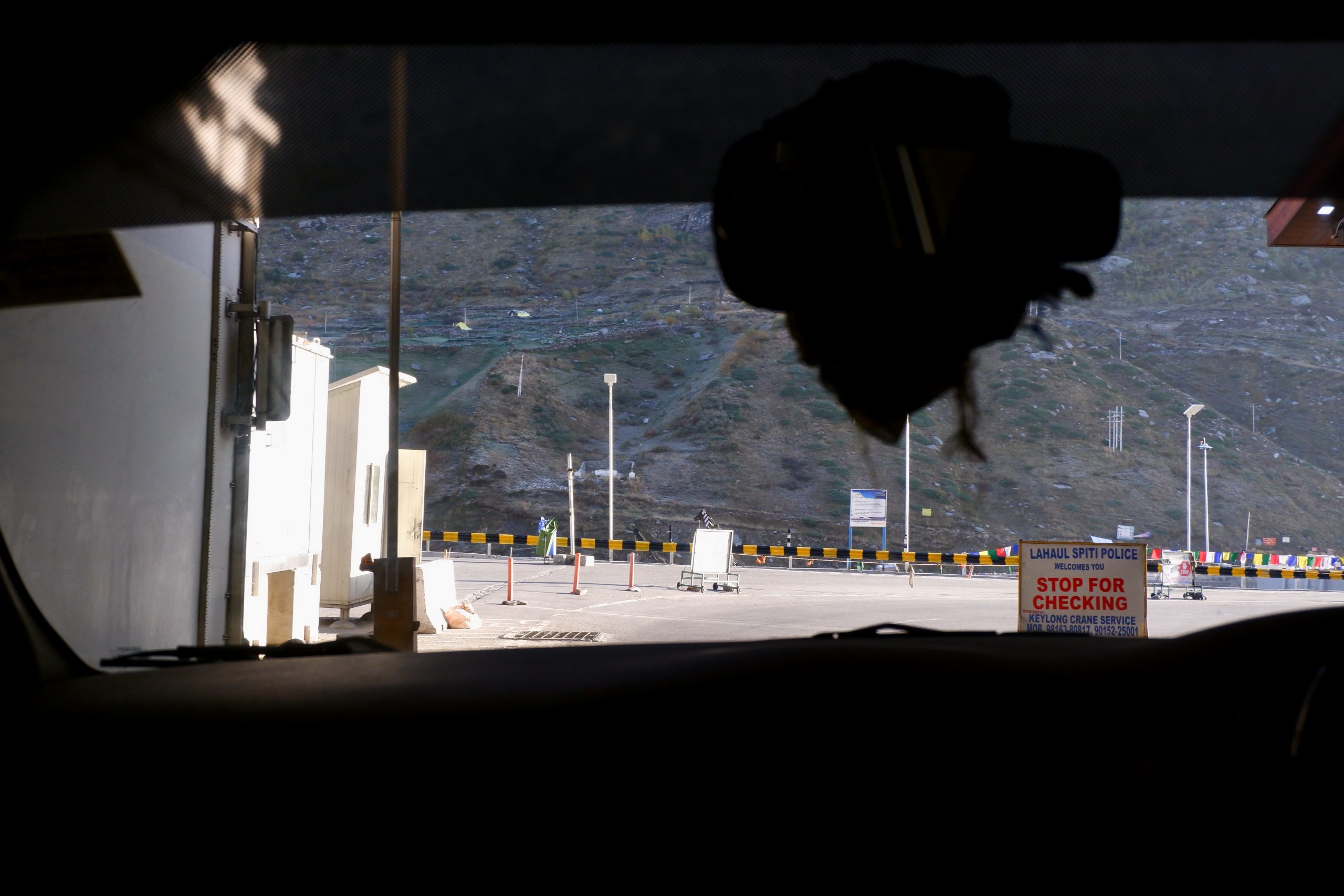
The road seemed clear despite the snowfall and the driver wanted to start the next morning, which he did. 6:30 we left and 9 hours later we arrived. I was very lucky, he was driving an Innova and there were only 2 other local passengers apart from me. It was like a taxi! But at the price of the crammed taxi. I got to see two superlatives on this ride. First we went up to the Atal tunnel. After 10 years of construction, the 9 km long tunnel between the Kullu Valley and Lahaul was opened in 2020. It is considered the longest tunnel over 3,000 m. The important thing about it: before, you had to drive over a pass and it was so snow-covered in winter that clearing was not possible and the people in the Lahaul valley were cut off. This is not so easy because of medical care and also because of economic development. More about the tunnel here.
 1
1
 2
2
 3
3
 4
4
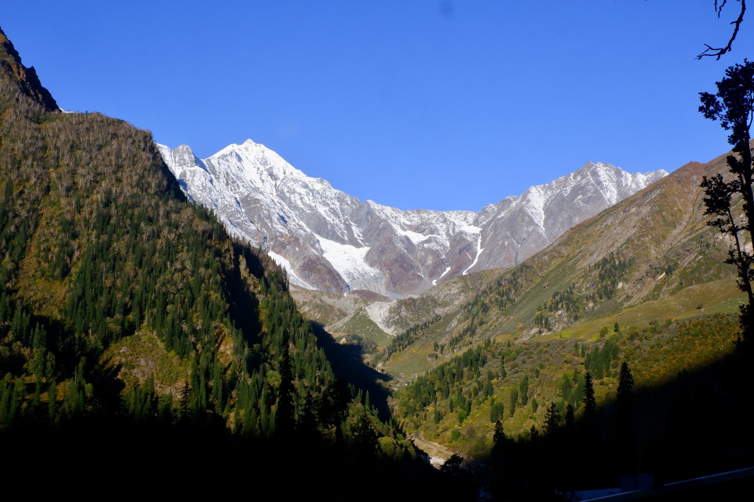
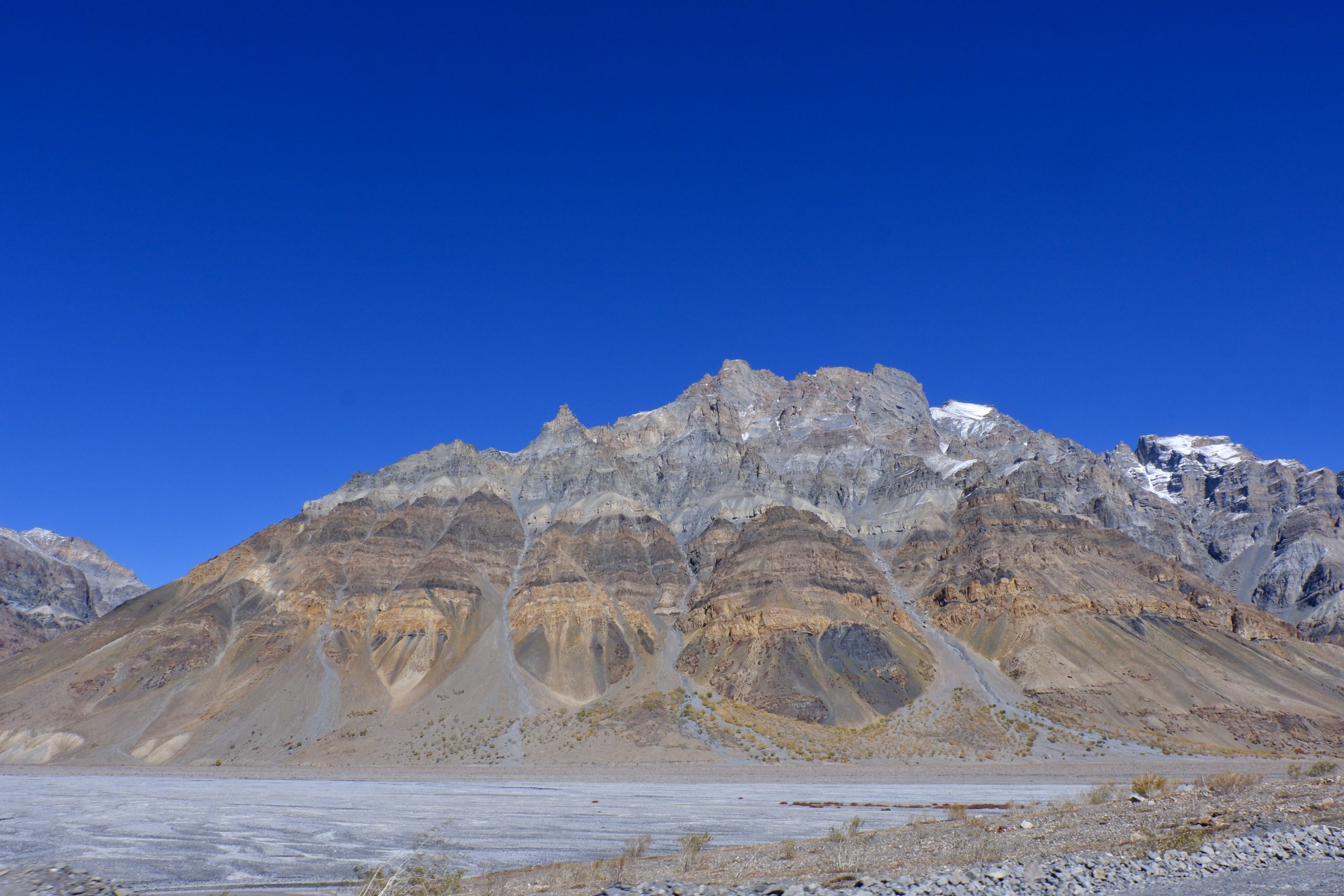
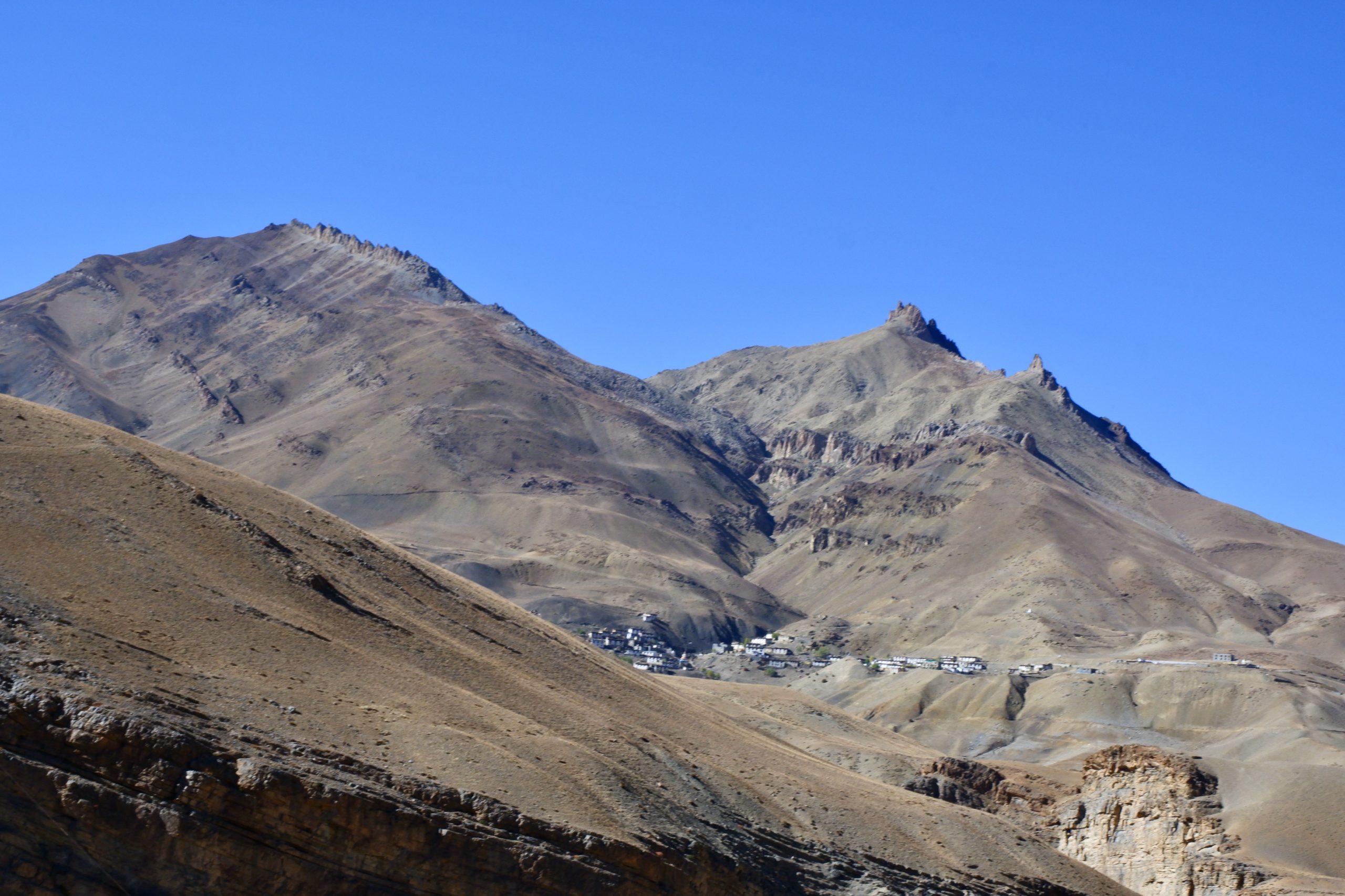
The mountain range is also a religious divide, behind it is Buddhist dominated. The district is called Lahaul and Spiti, with Lahaul being western and more Hindu, Spiti eastern and Buddhist. I actually wanted to look in both directions (I already know part of Lahaul), but there is not enough time. So now towards Spiti and the ride was full of memories. In 1992 I once rode on the roof of a bus with Therese, an Irish woman, to Batal and from there we hiked to Chandertal Lake. This has become a major attraction and has a road access, but it is closed at the moment. There was nothing there at in 1992. But first from the front. Behind the tunnel, the sun was also shining and I took some smear pictures.
 5
5
 6
6
 7
7
 8
8
 9
9
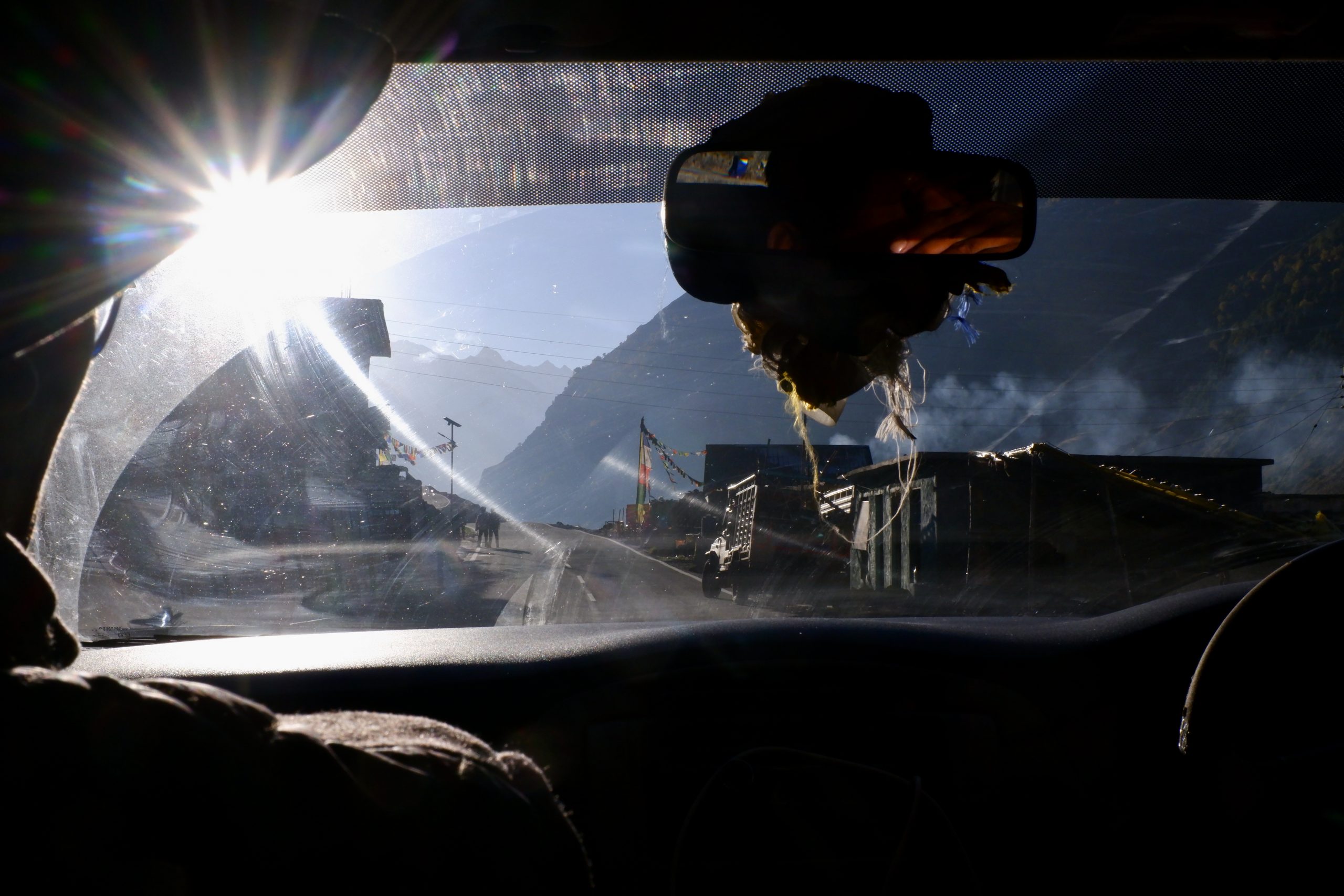
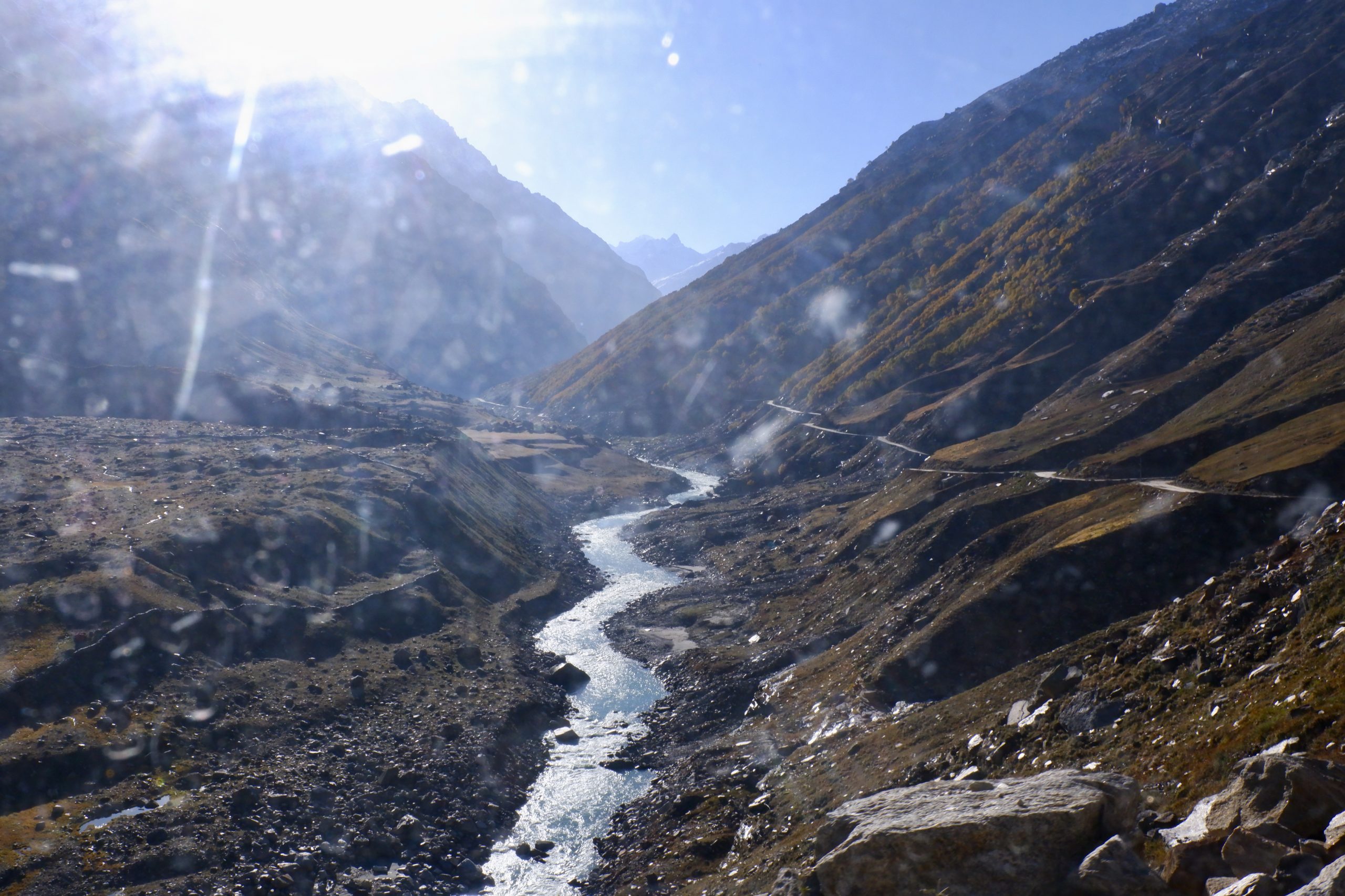
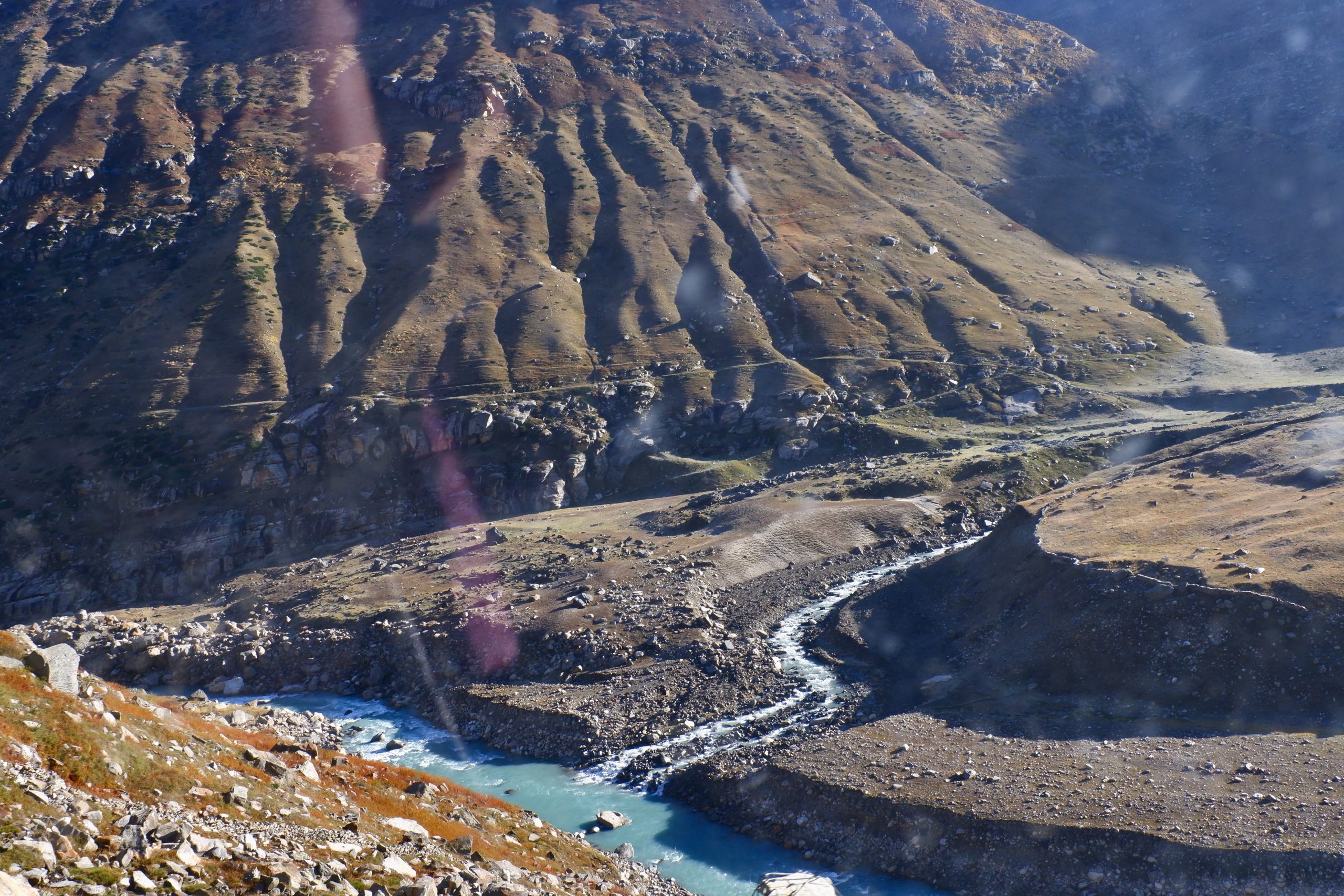
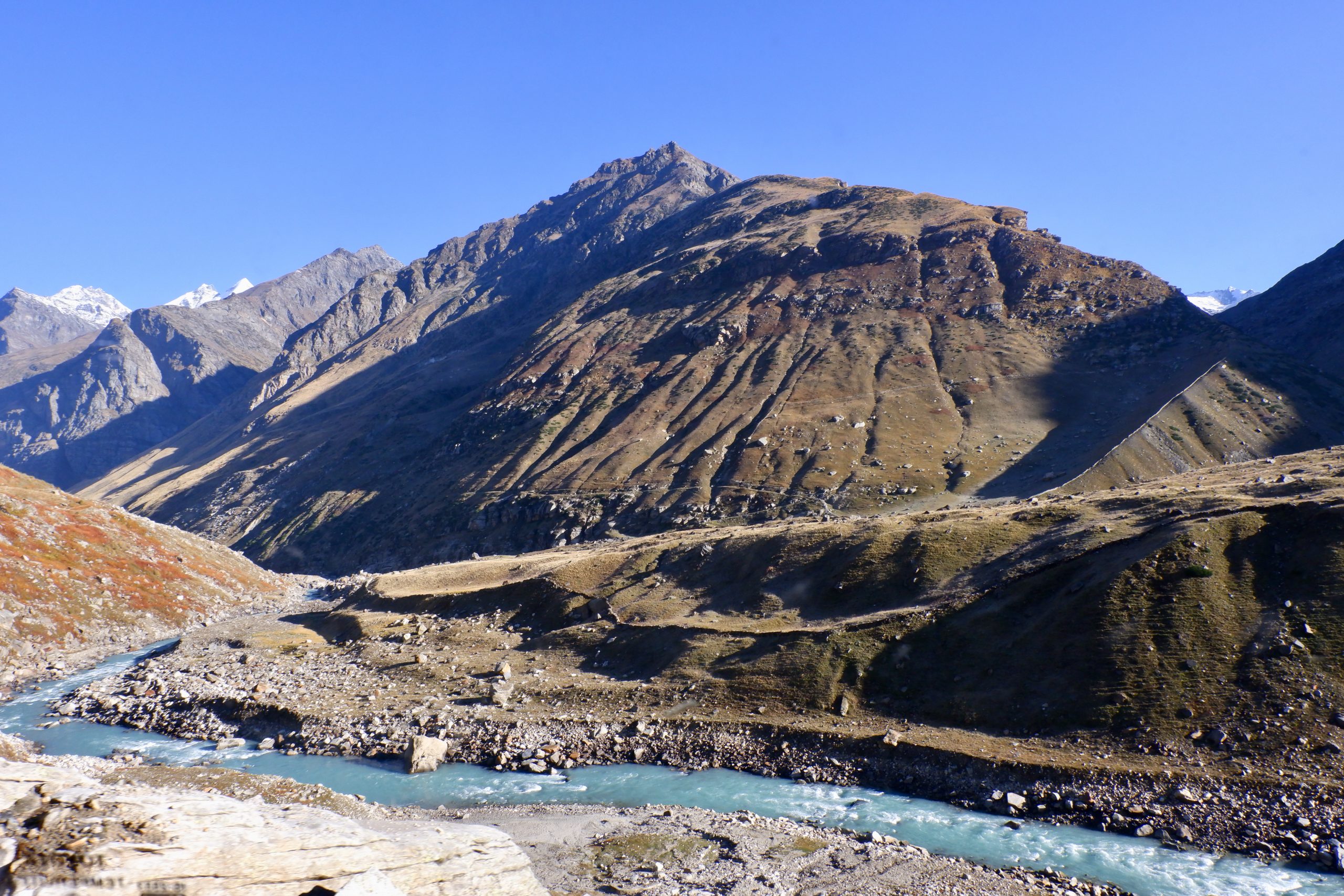
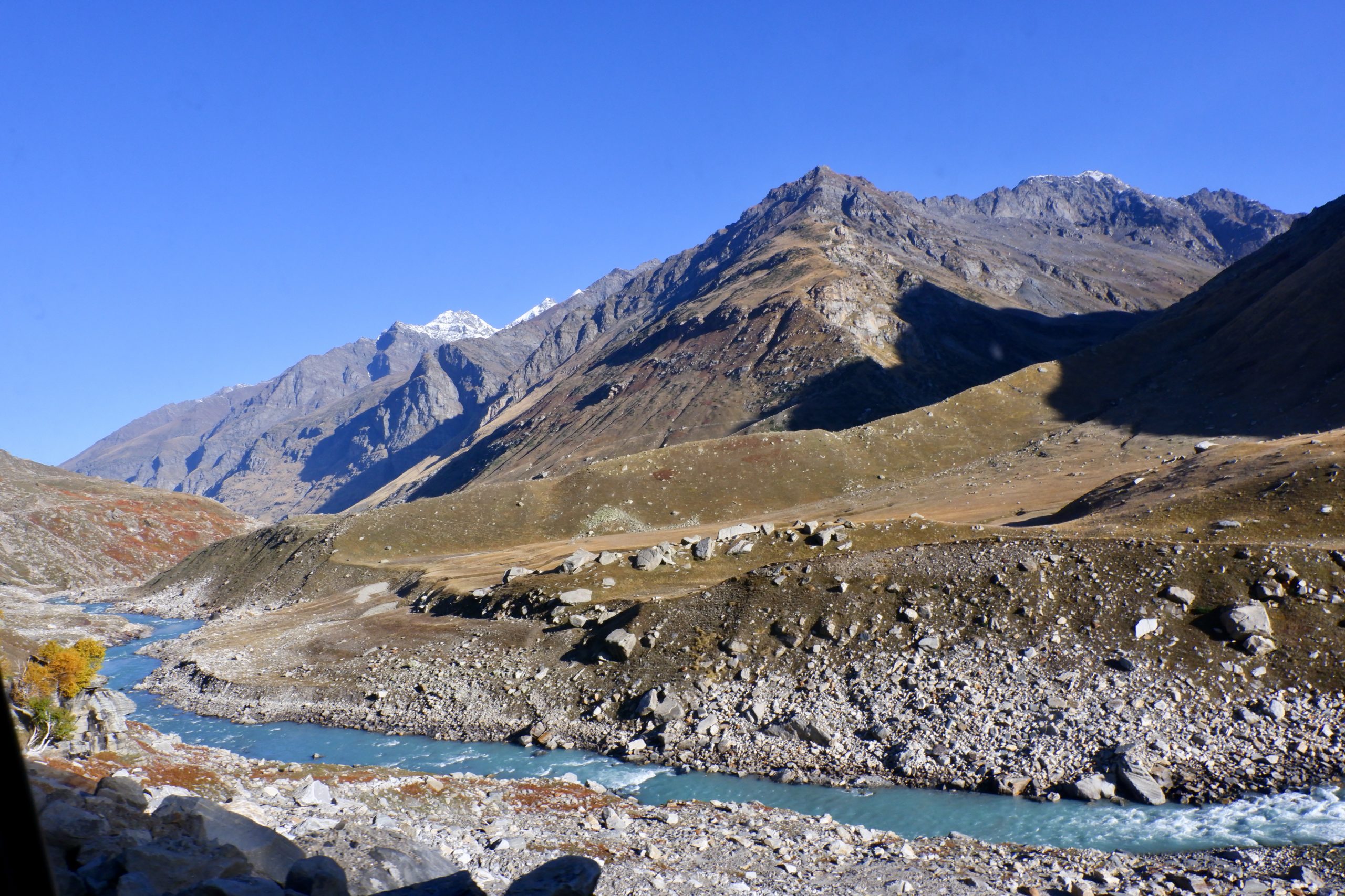
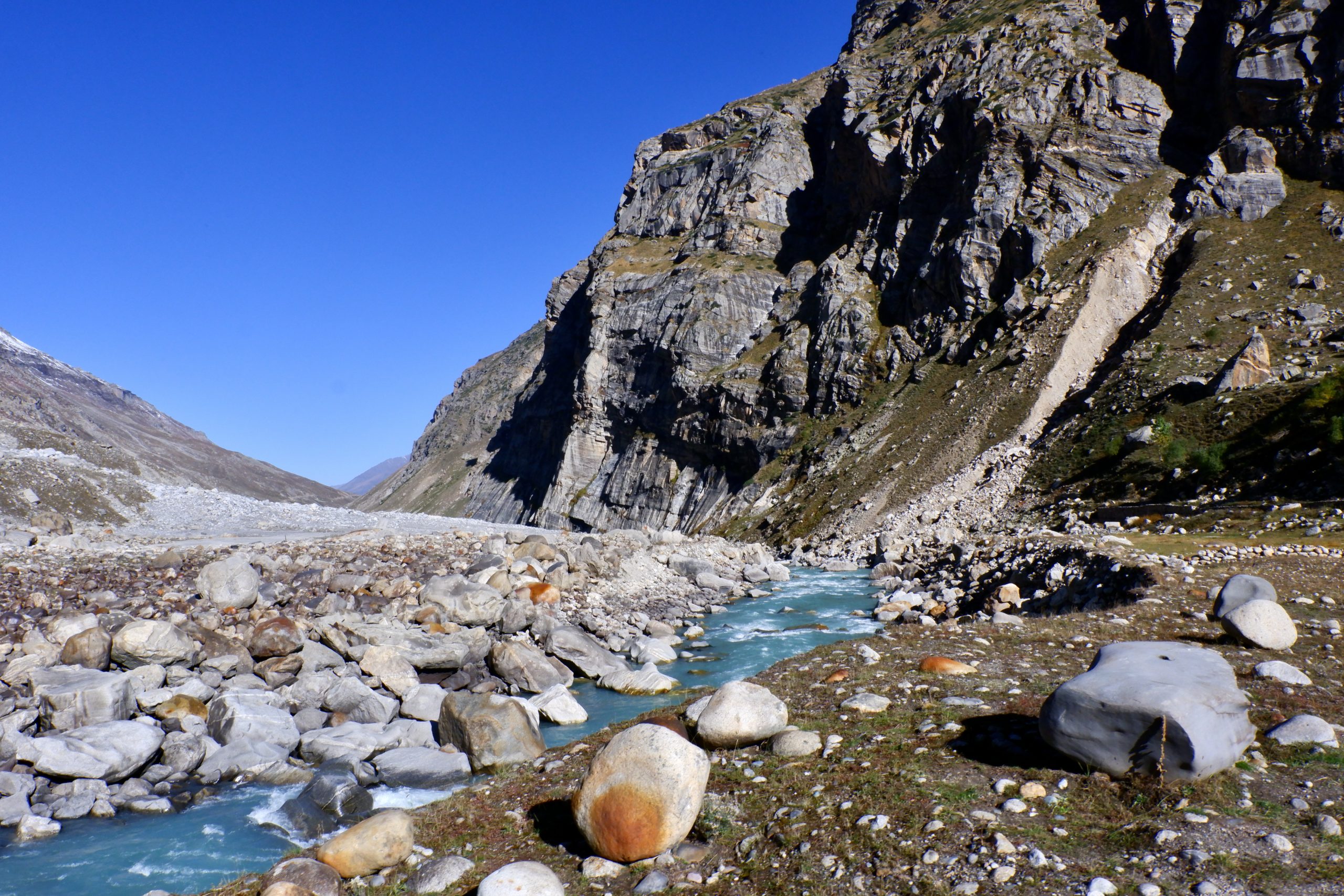
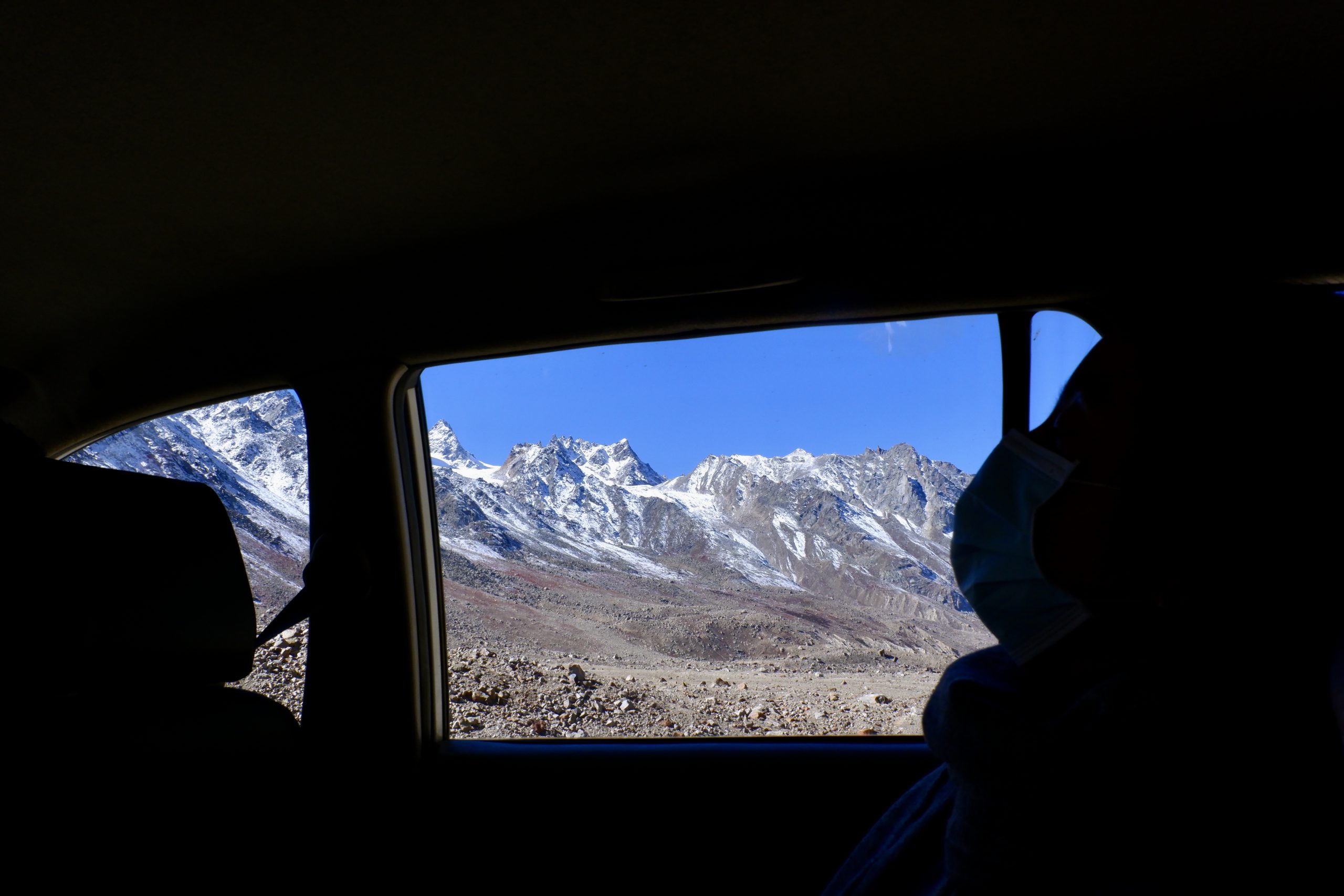
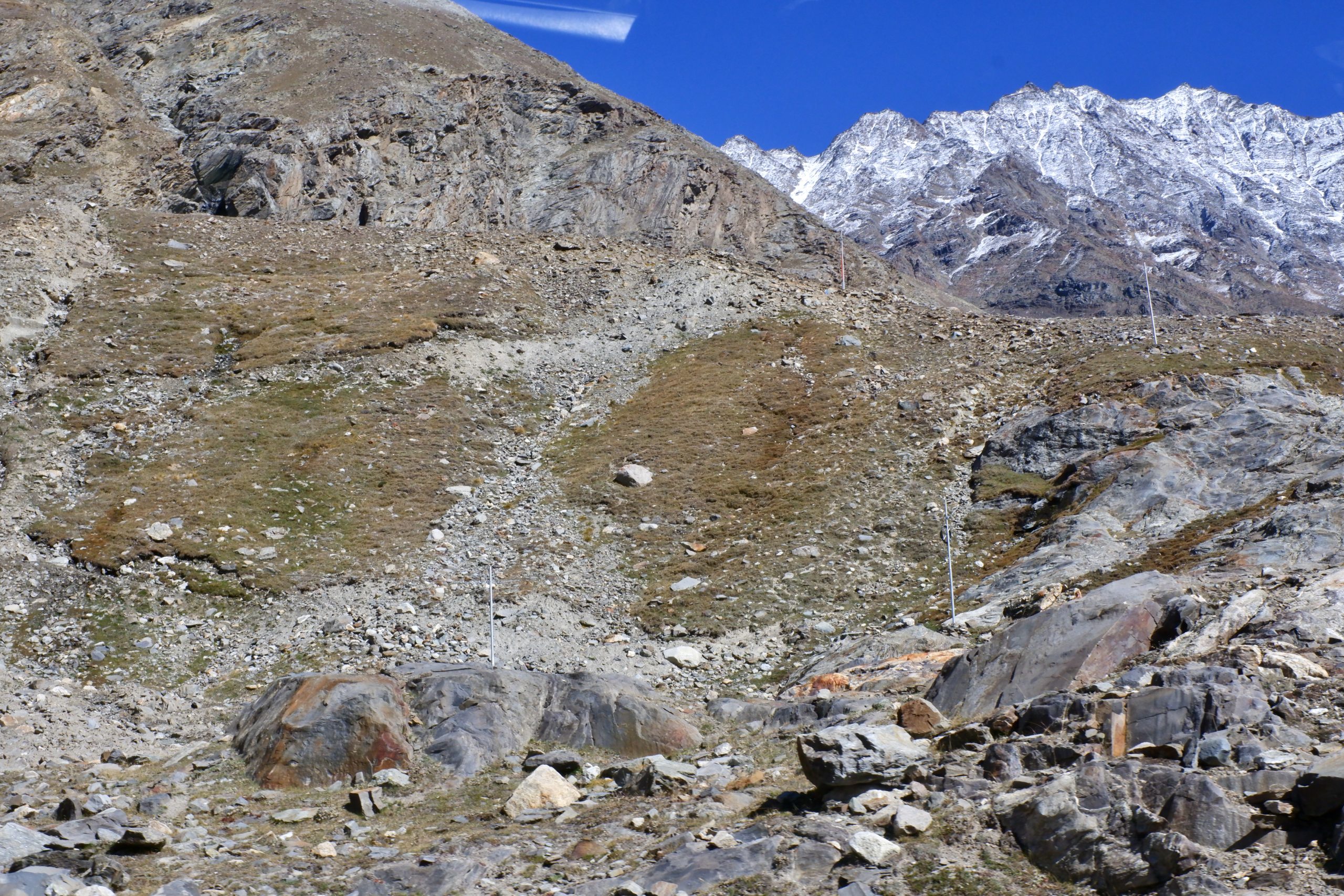
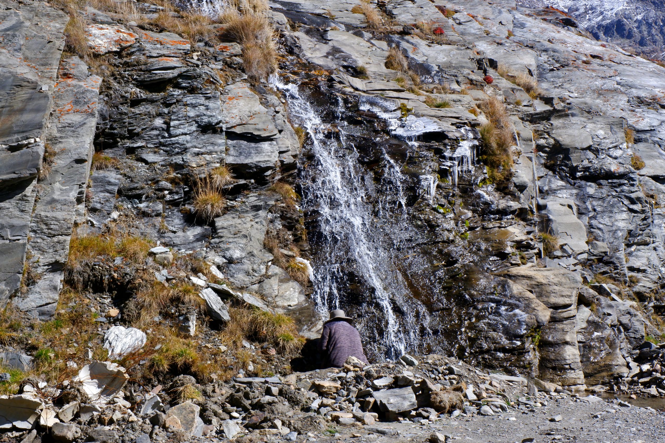
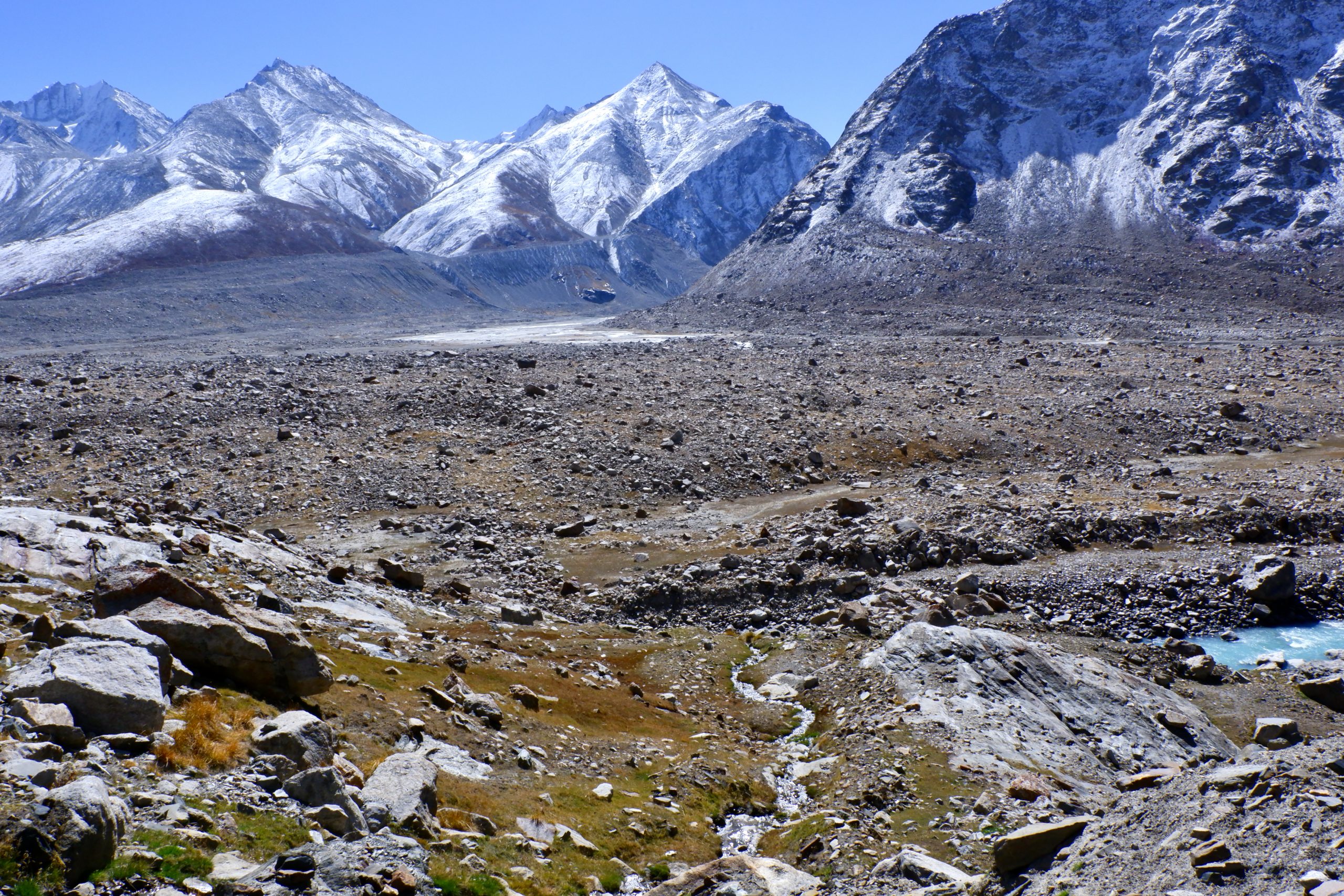
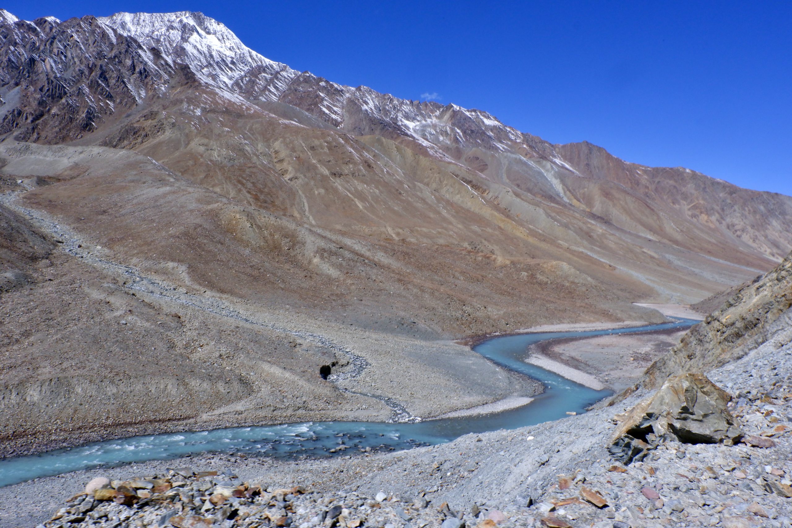
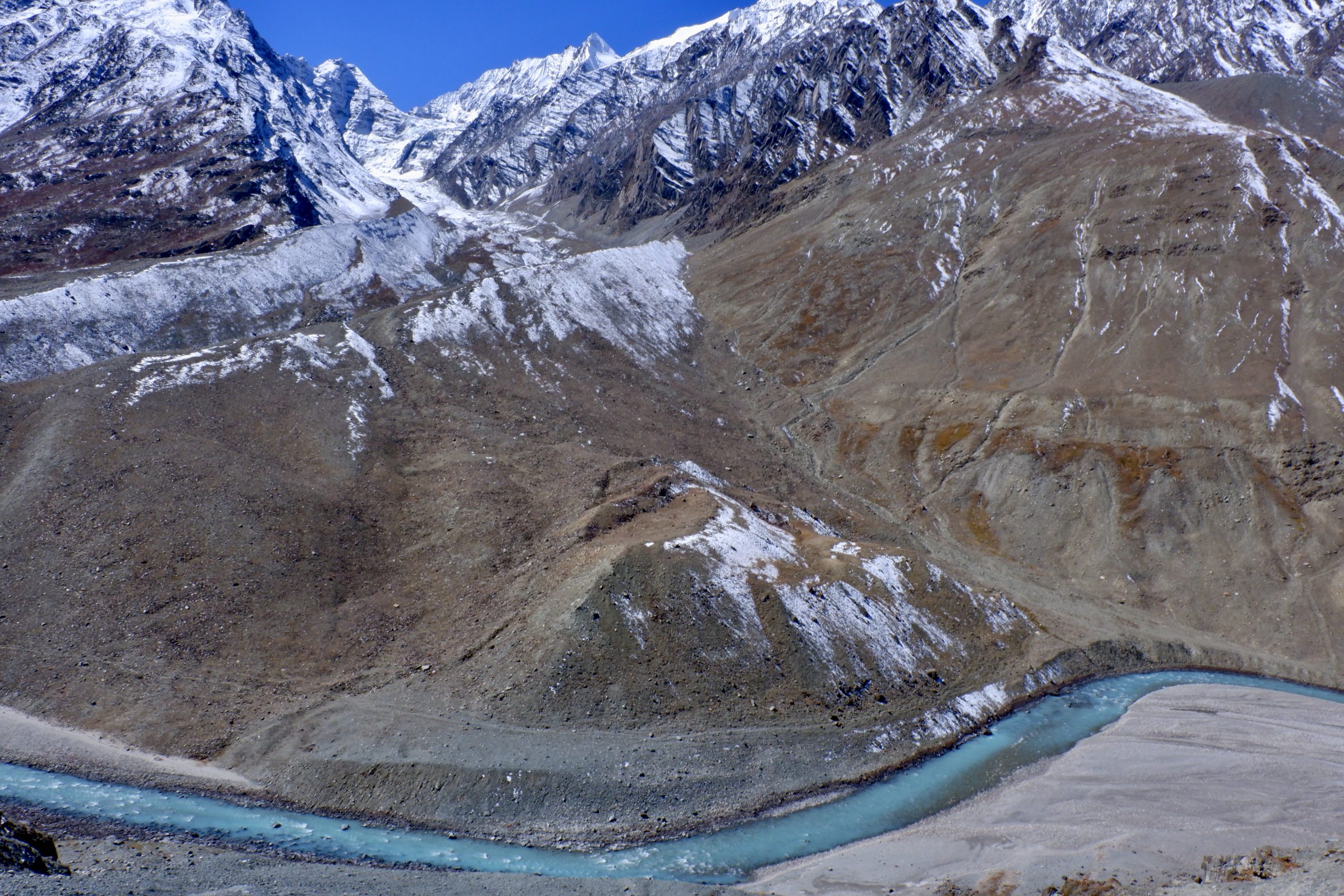
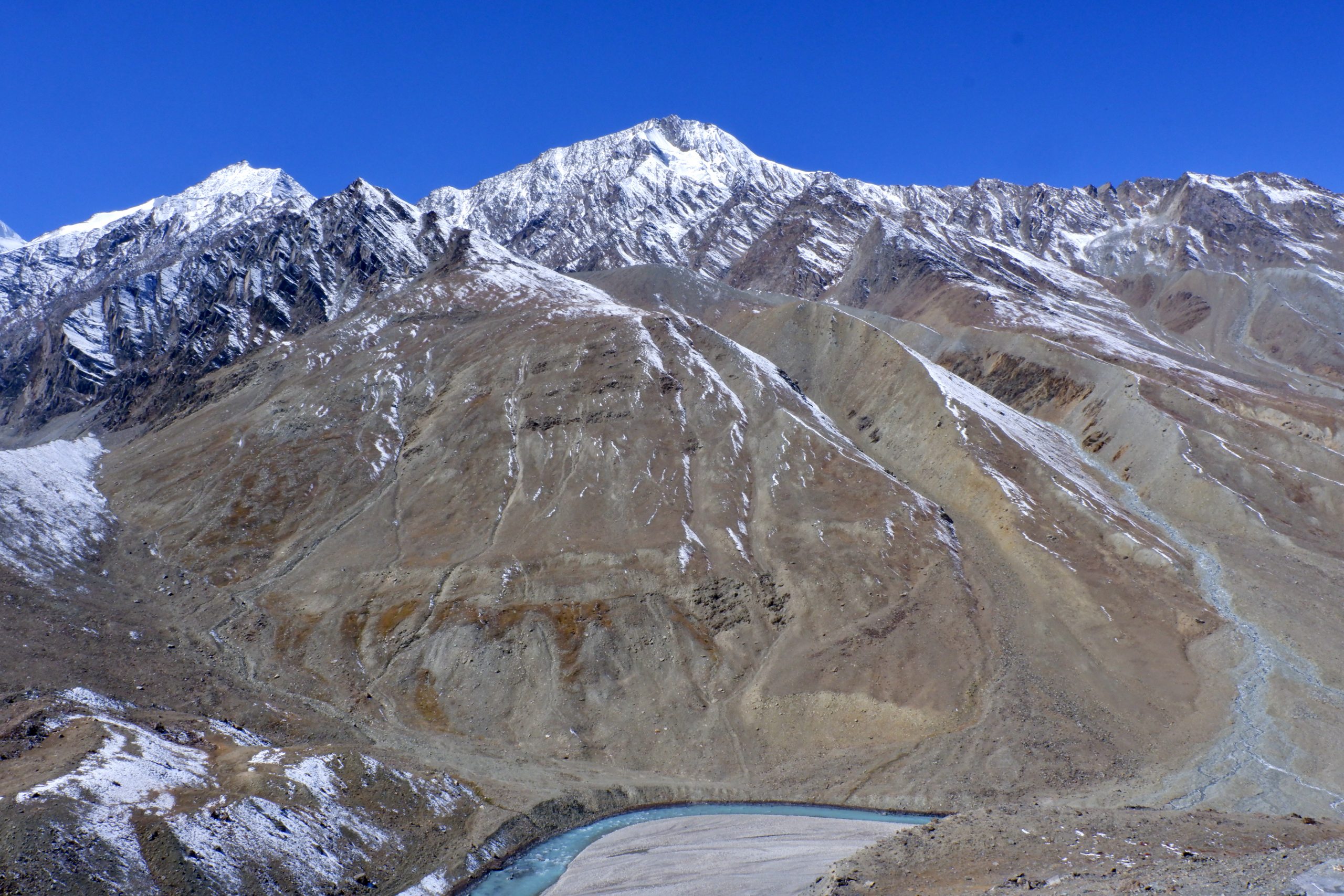
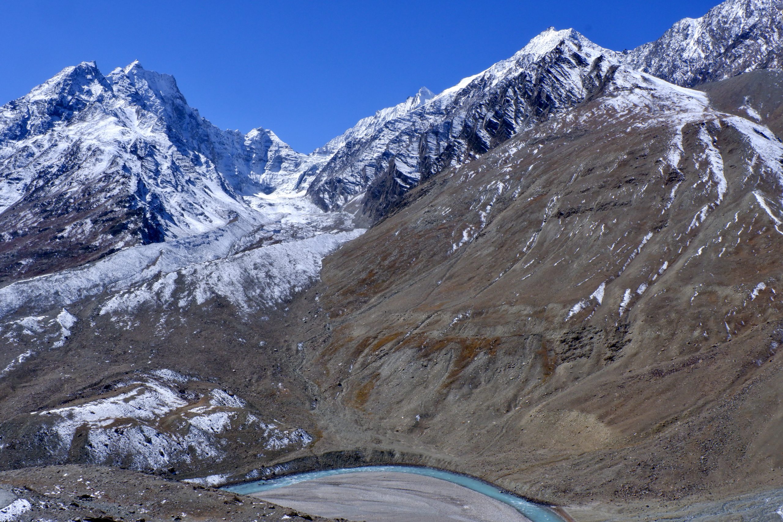
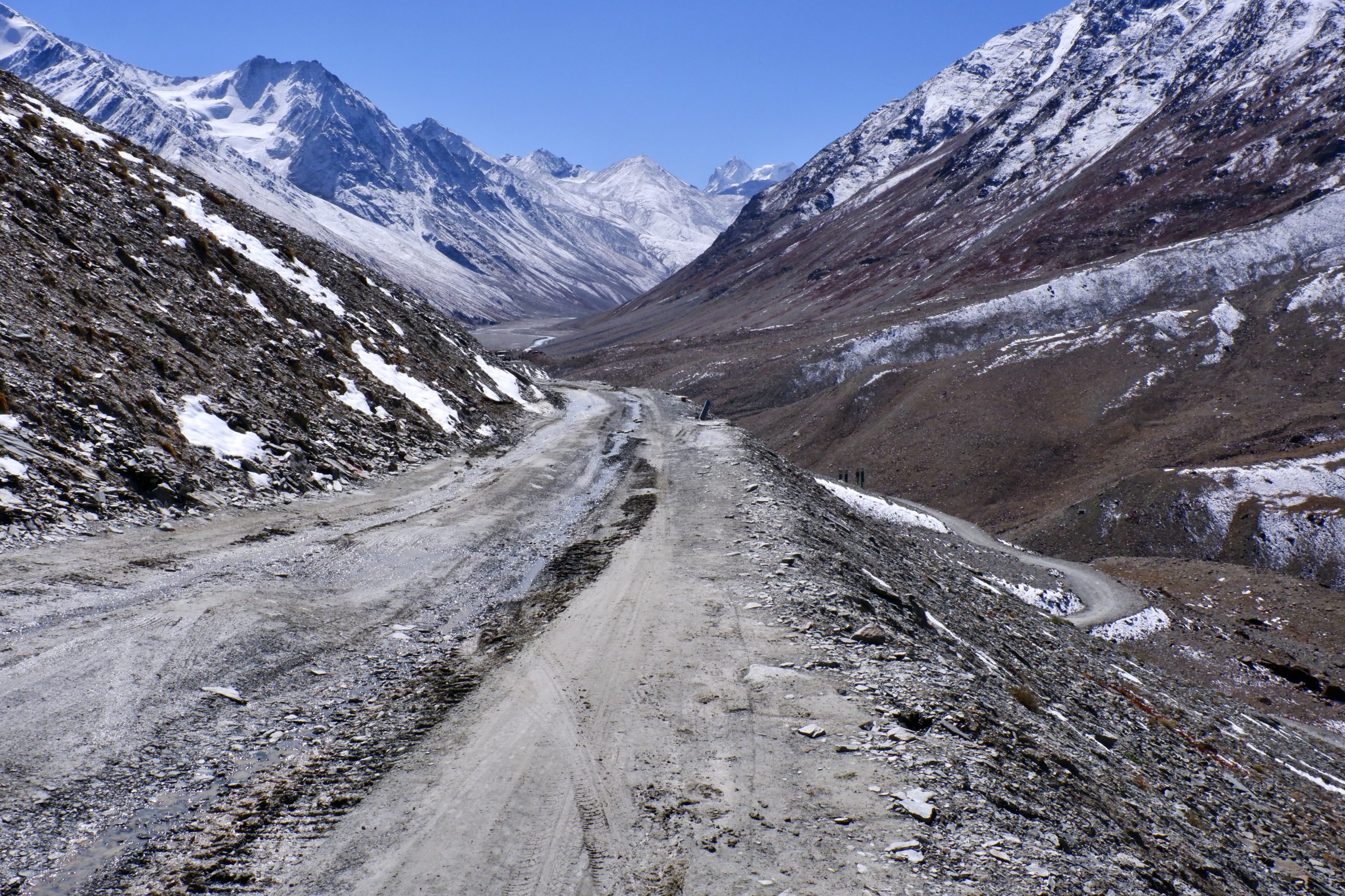
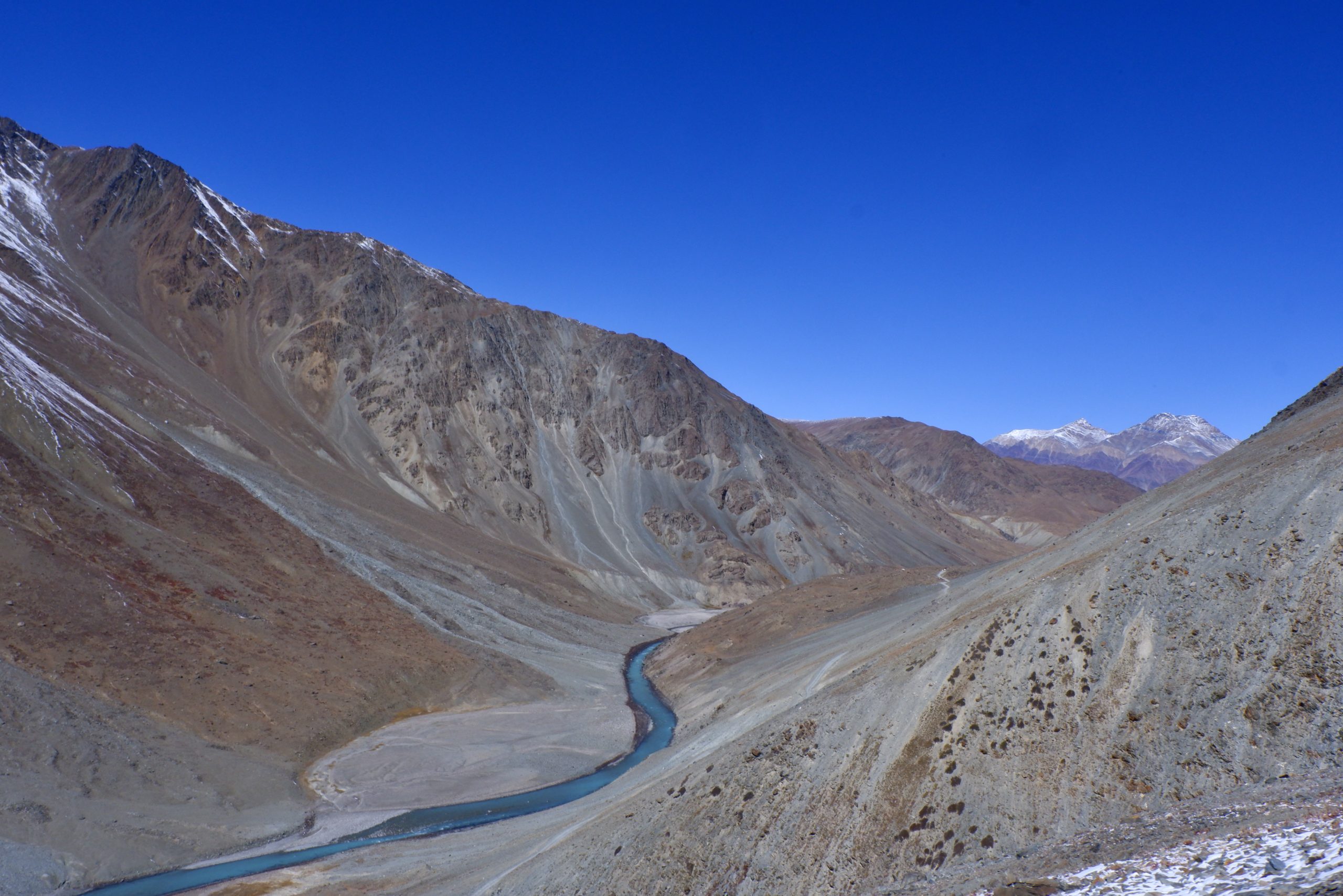
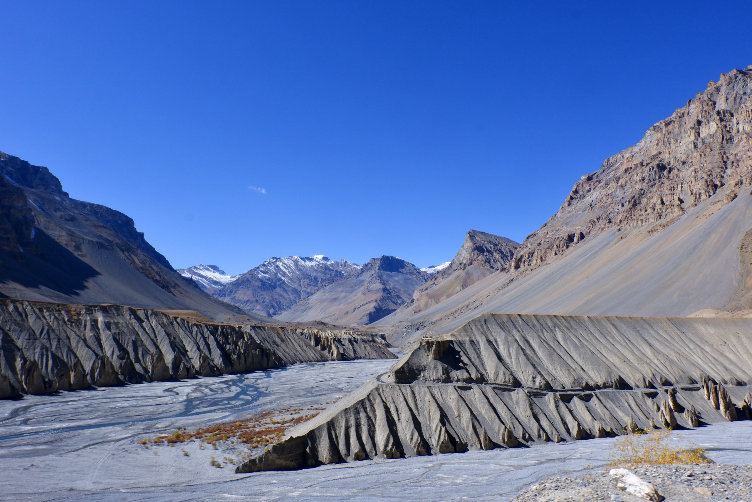
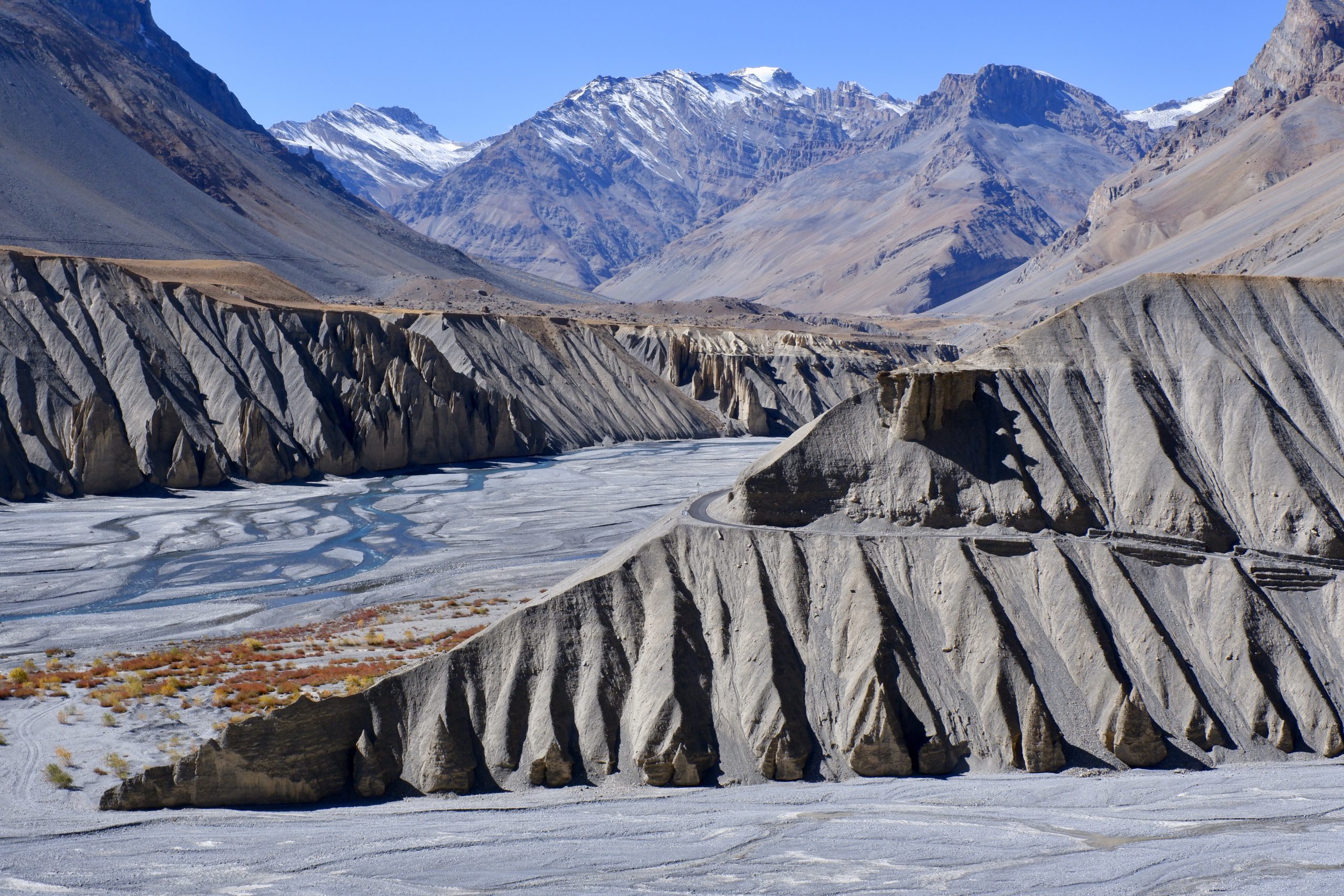
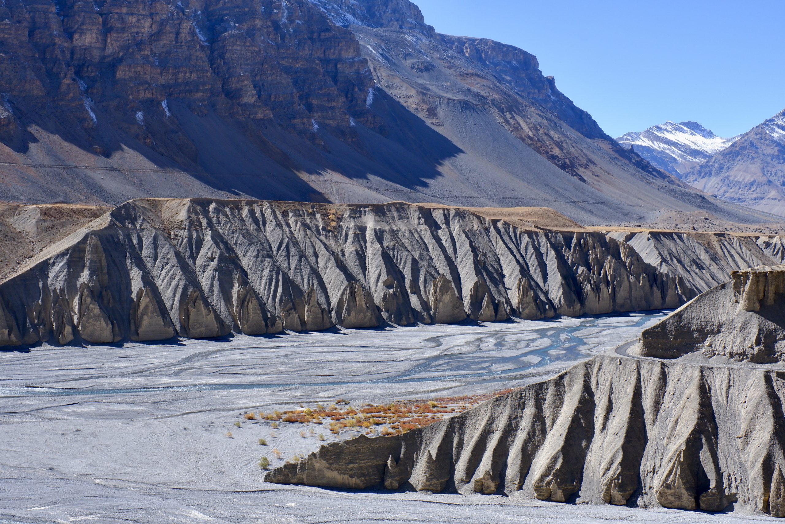
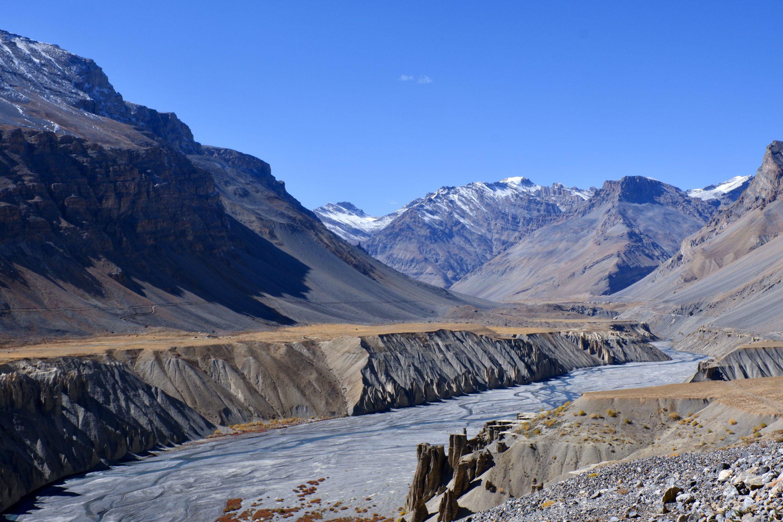
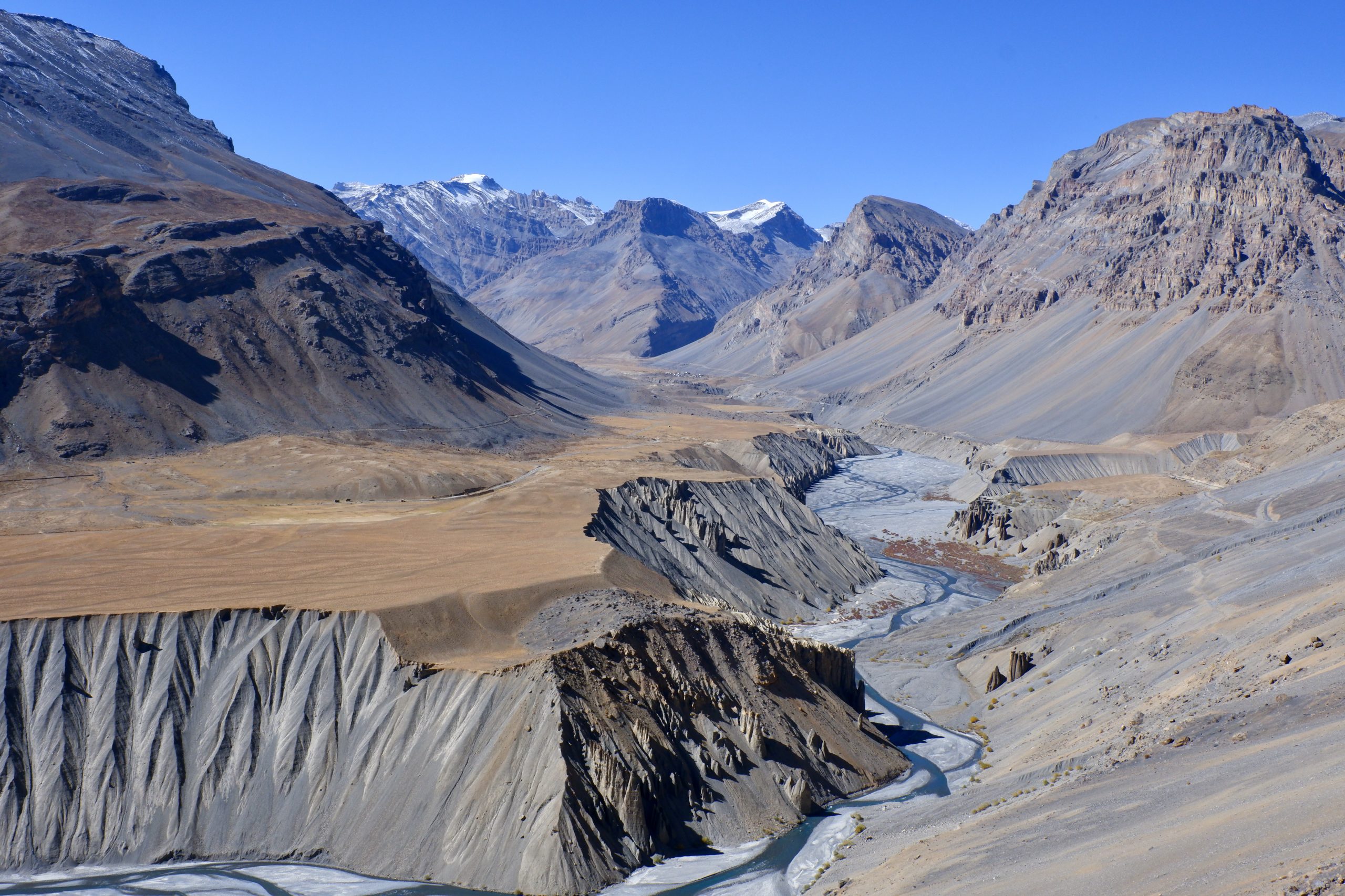
After that, I usually rolled down the window. For a few kilometres the road was still asphalt, but that stopped and we limped and jolted over stony dust tracks. It was just the right speed for looking and taking pictures, and the car was comfortable enough not to be stressed. We drove along the turquoise-blue Chenab River. The mountain formations were greener at first, but then became more and more rock and scree. Even though I have been here twice before and it actually looks like Ladakh and Zanskar, I felt as if I was seeing everything for the first time. My heart laughed with joy and my eyes wondered happily here and there. I was sitting in the back and “luckily” I could only take pictures in one direction at a time – otherwise there would have been almost twice as many pictures.
 10
10
 11
11
 12
12
 13
13
 14
14
 15
15
 16
16
 17
17
In Chattru the river was crossed and we stopped for breakfast. And then it was back to enjoying the scenery.
 18
18
 19
19
 20
20
 21
21
 22
22
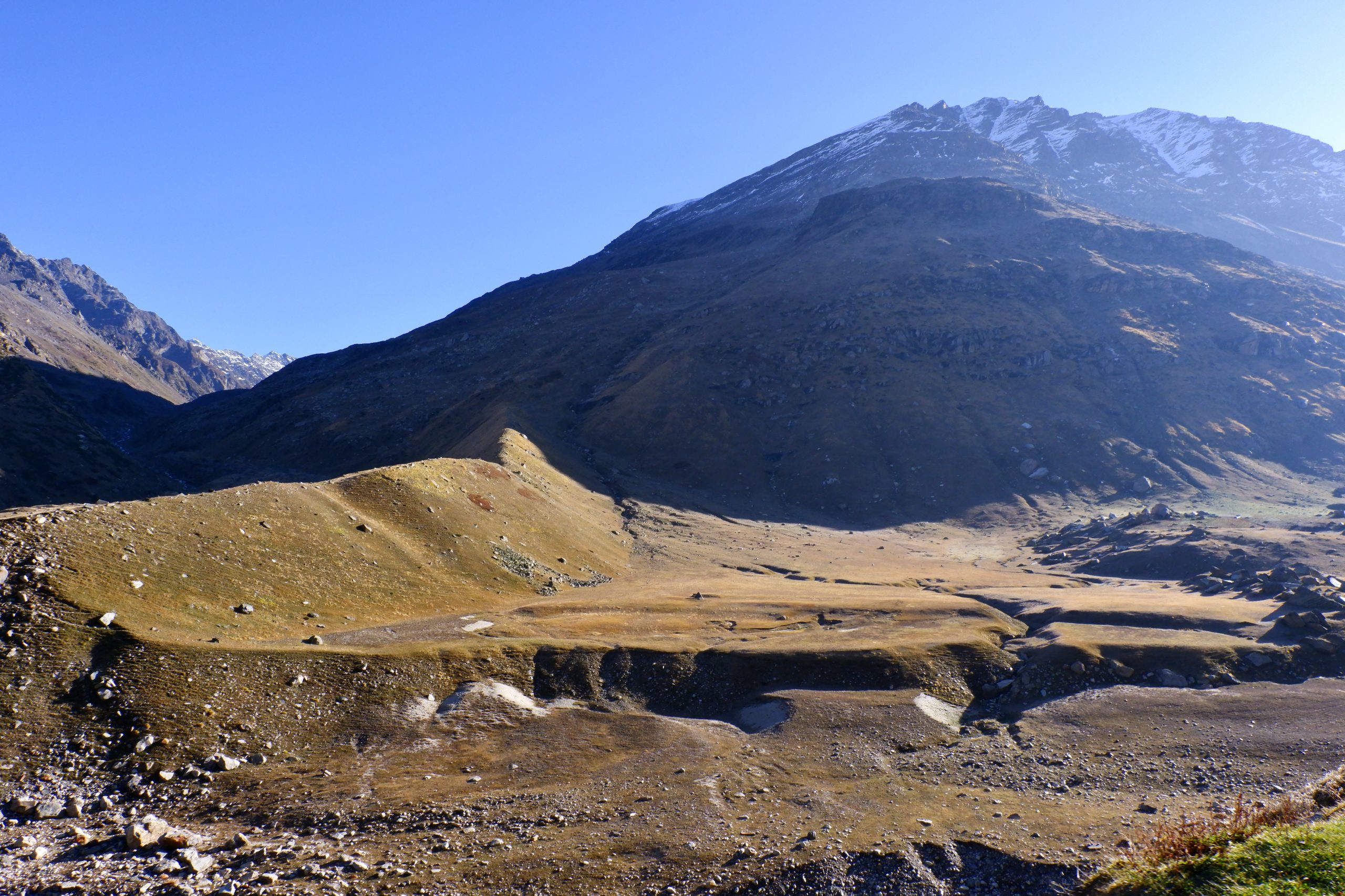
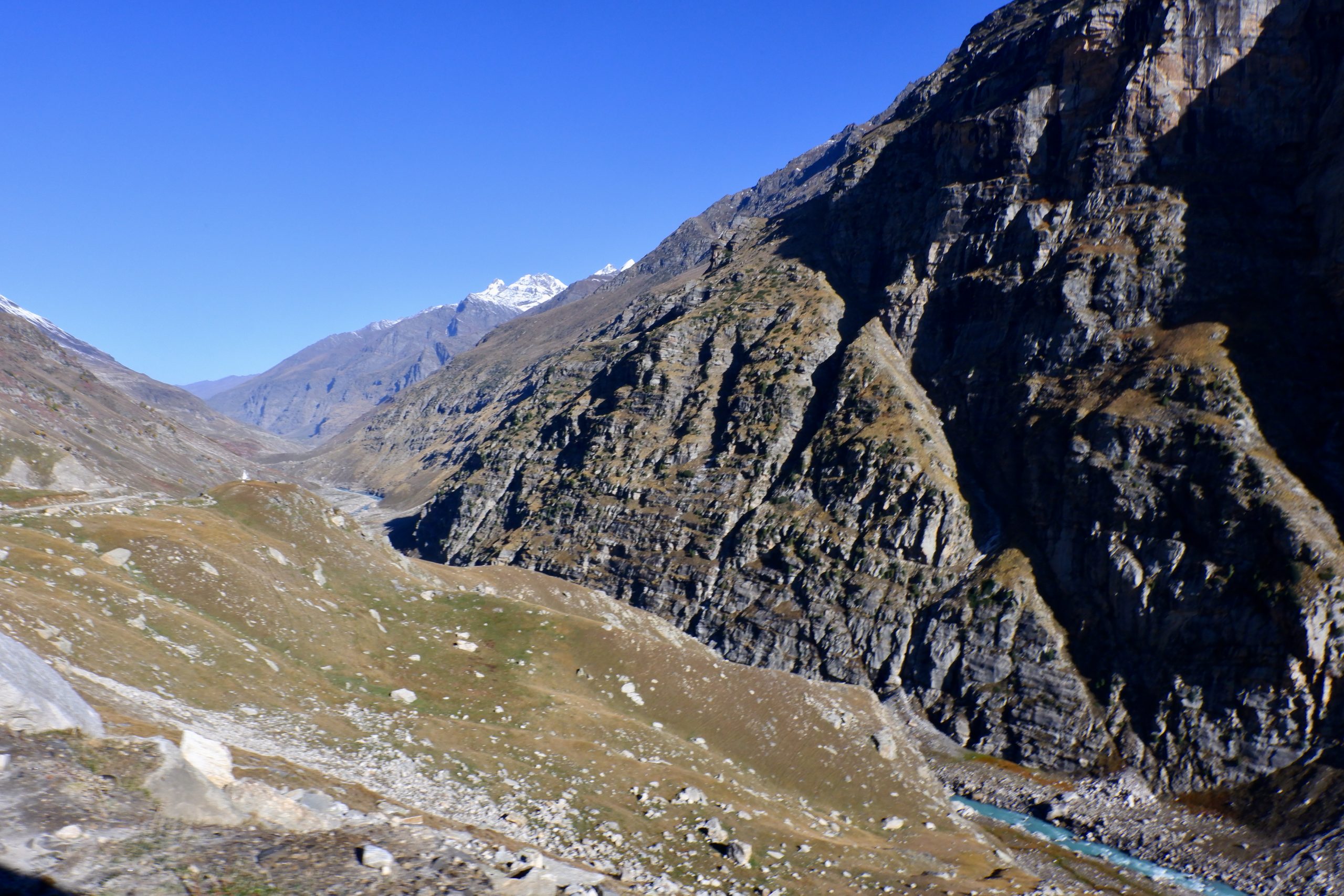
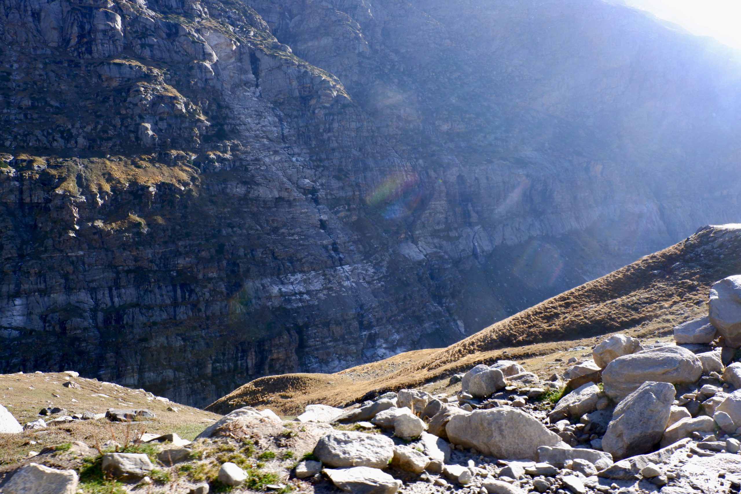
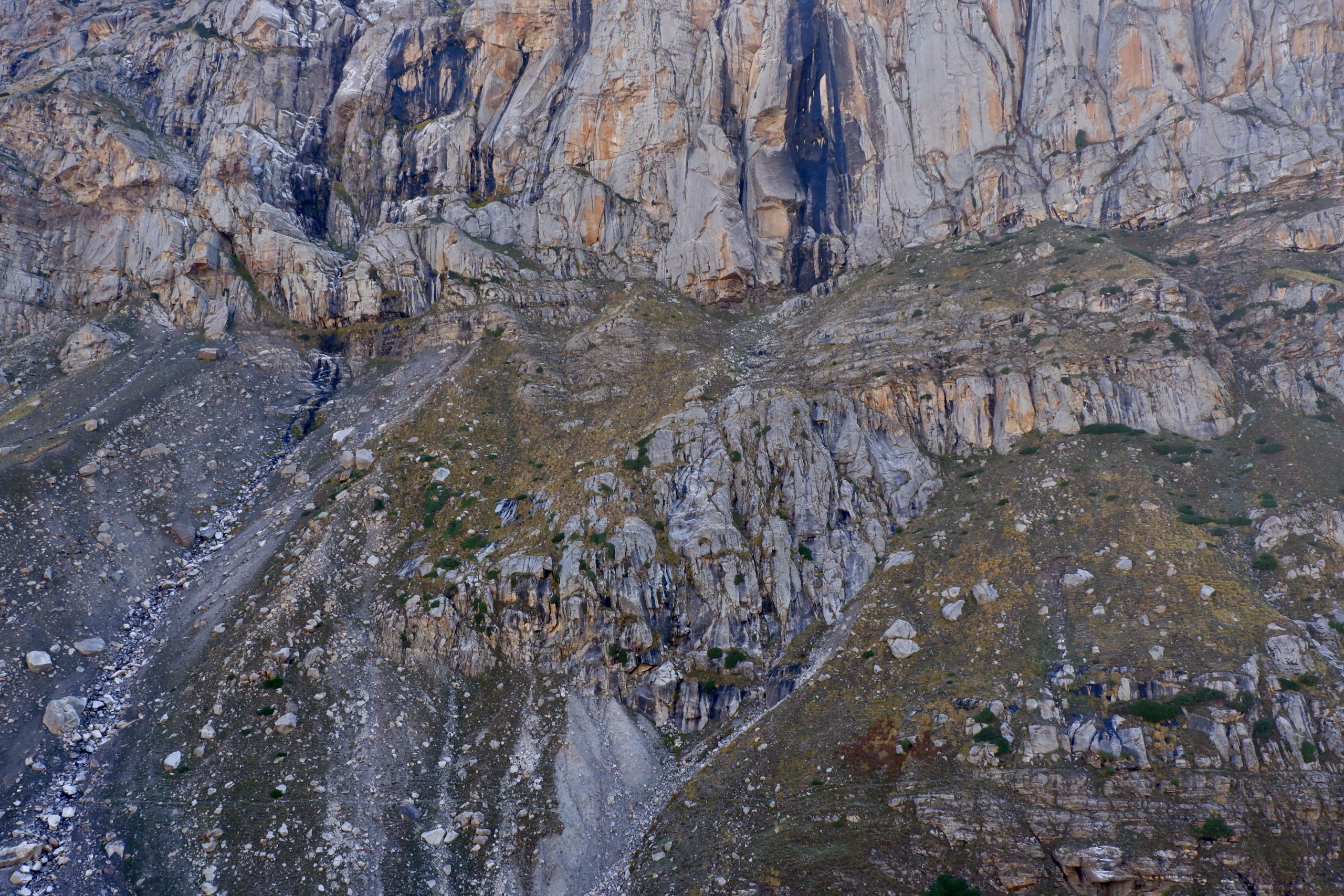
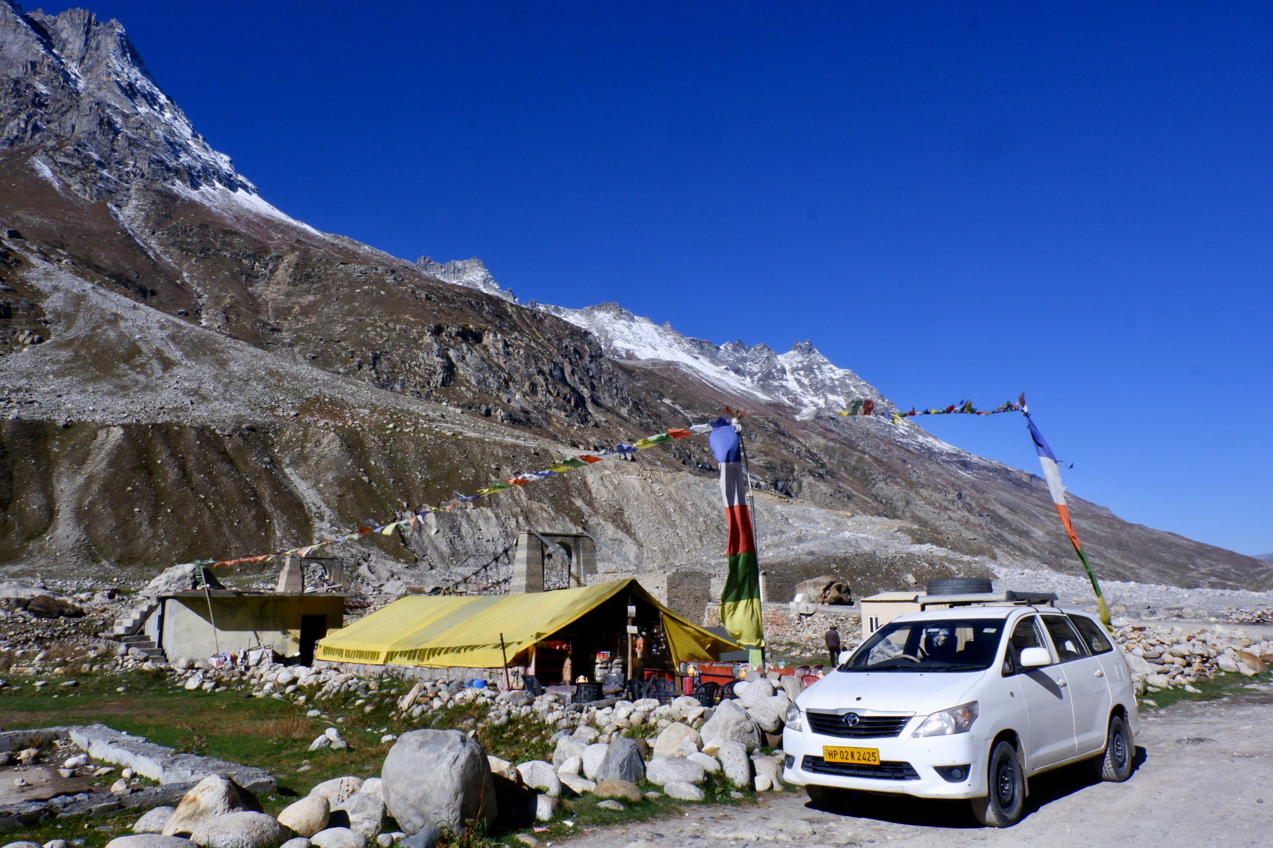
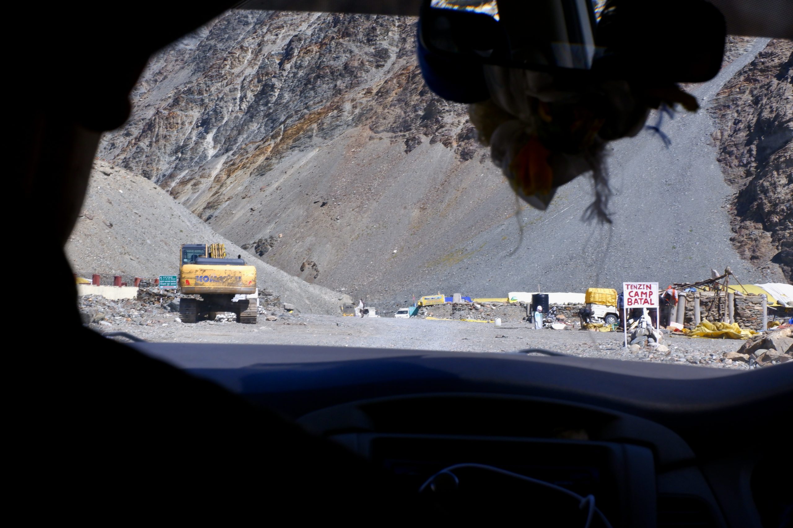
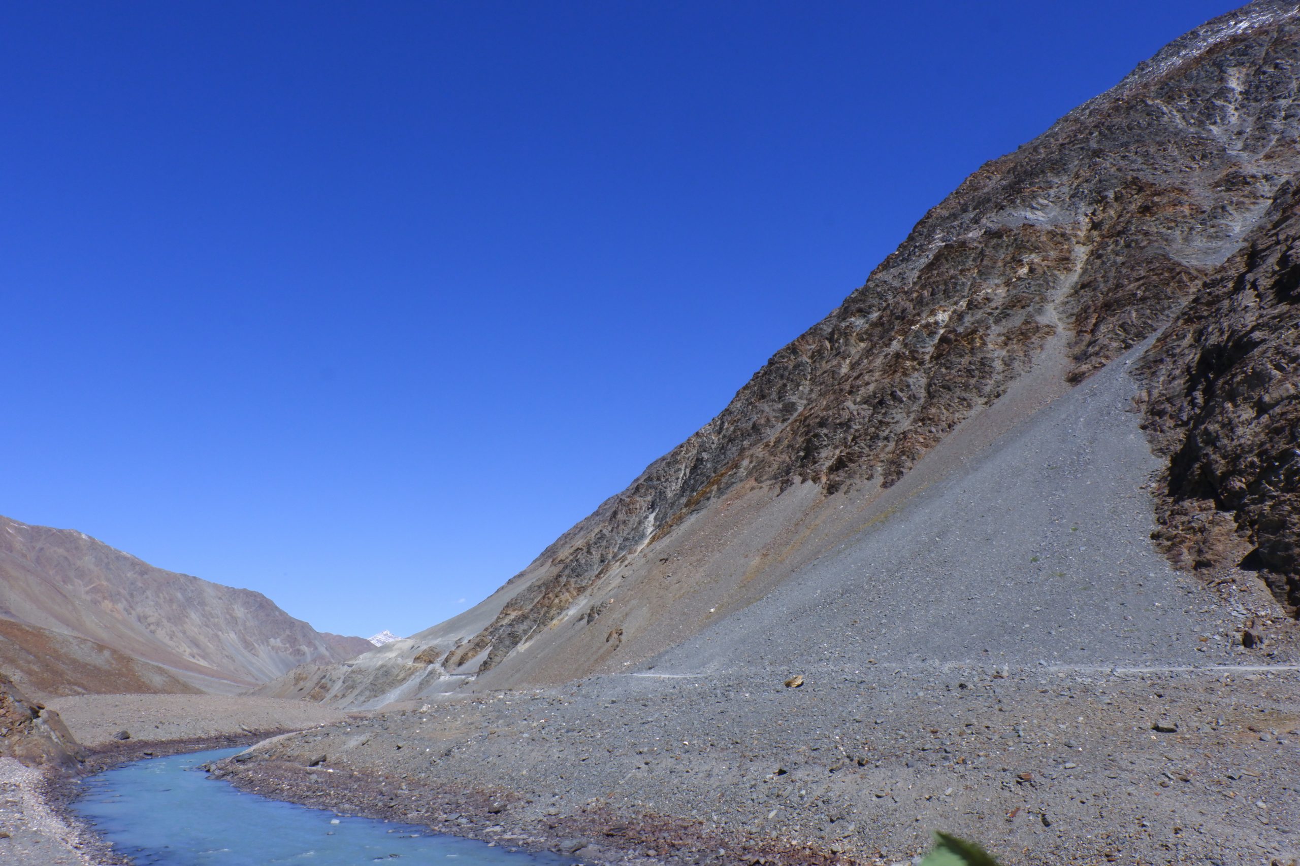
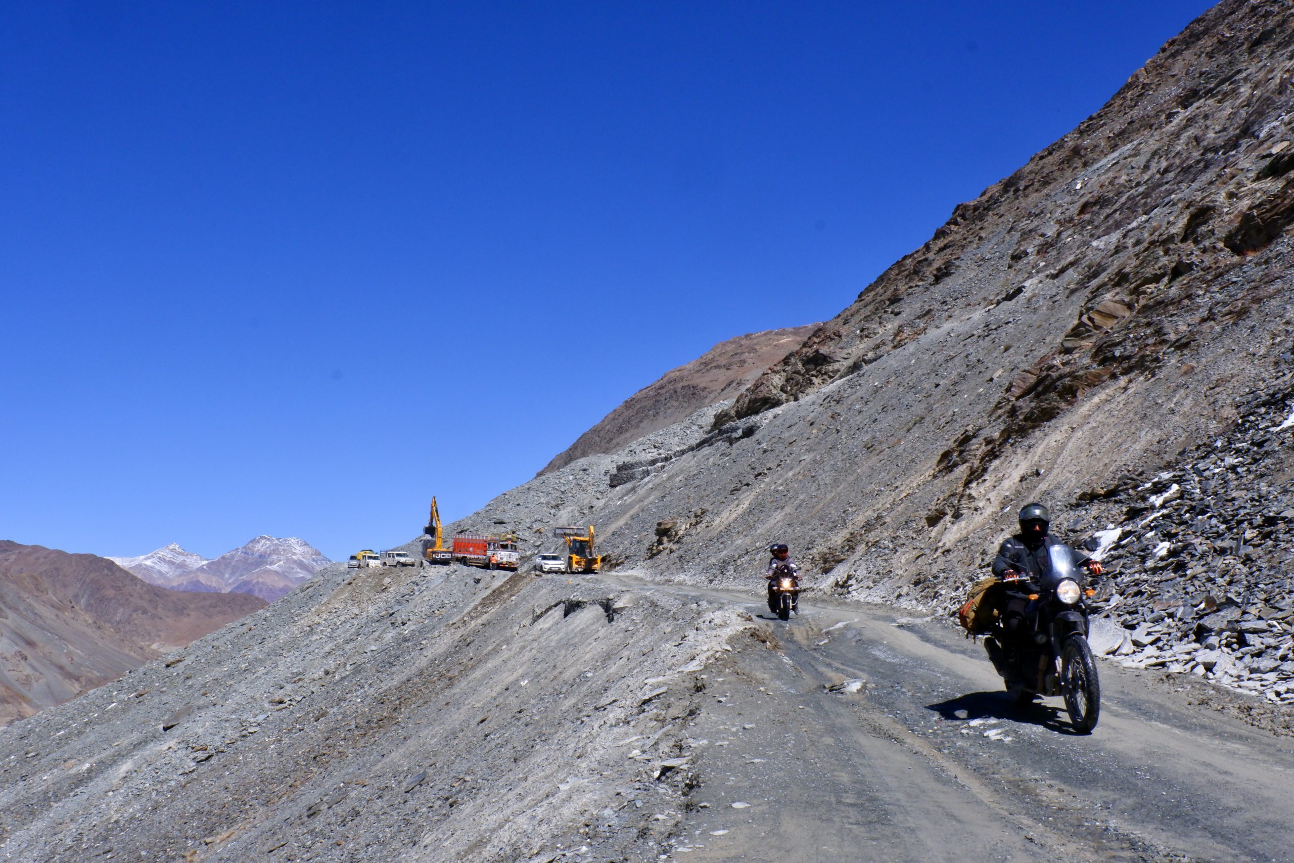
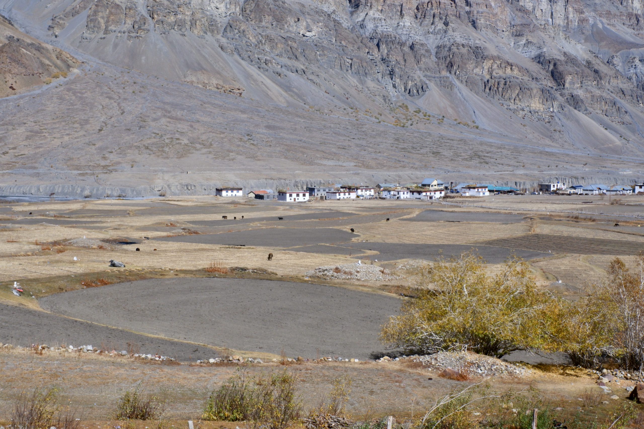
Here in Batal I got off the bus with Therese. The road continued on the opposite side of the river up to the pass. There I could see where we had walked in 1992. At that time I had seen such an insanely dry landscape for the first time and thought that this practically doesn’t exist at all in this world. From above, it looked so far where we had hiked – about 17 km according to the map. The view of the lake was blocked by the mountains. There was construction work where we had to wait a bit. Regarding the traffic, it was very light. I felt that 50% of the traffic was cars and 50% was motorbikes. Obviously a popular motorbike route. Here are the pictures up to the pass:
 23
23
 24
24
 25
25
 26
26
 27
27
 28
28
 29 (view back)
 30
30
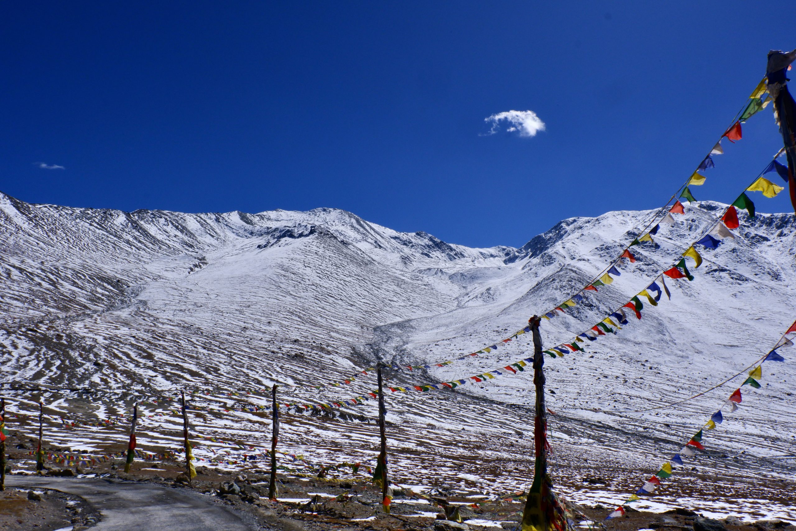
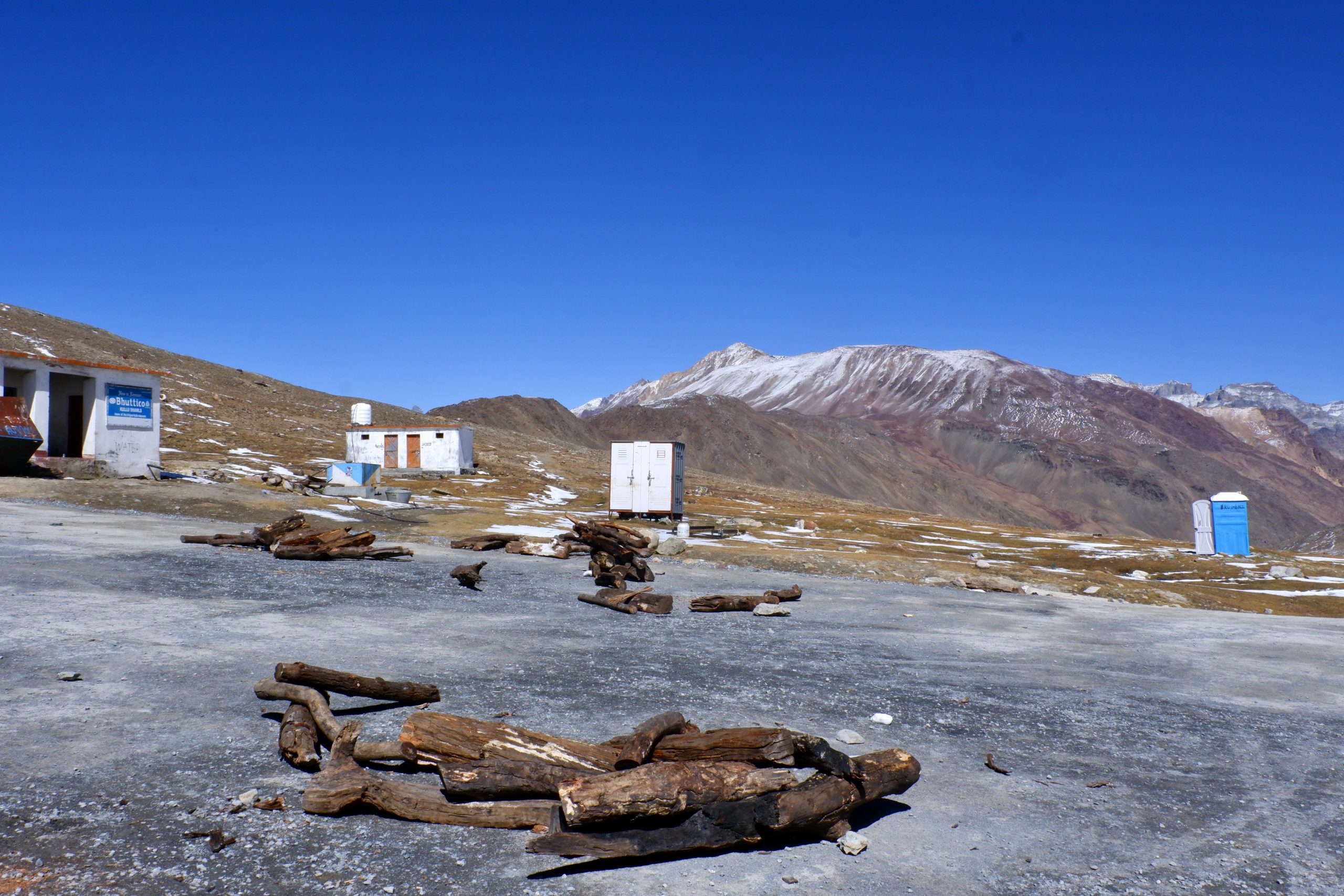
Then we reached Kunzum-la. It is 4,551 m high and when it is snowed in, it is no longer cleared. Behind it, the villages of Spiti begin. But you can drive out to the southeast during the winter.
 31
31
 32
32
 33
33
 34
34
Down we went to the first village Lossar and from then on the road was mostly paved. Here are the pictures of it:
 35
35
 36
36
 37
37
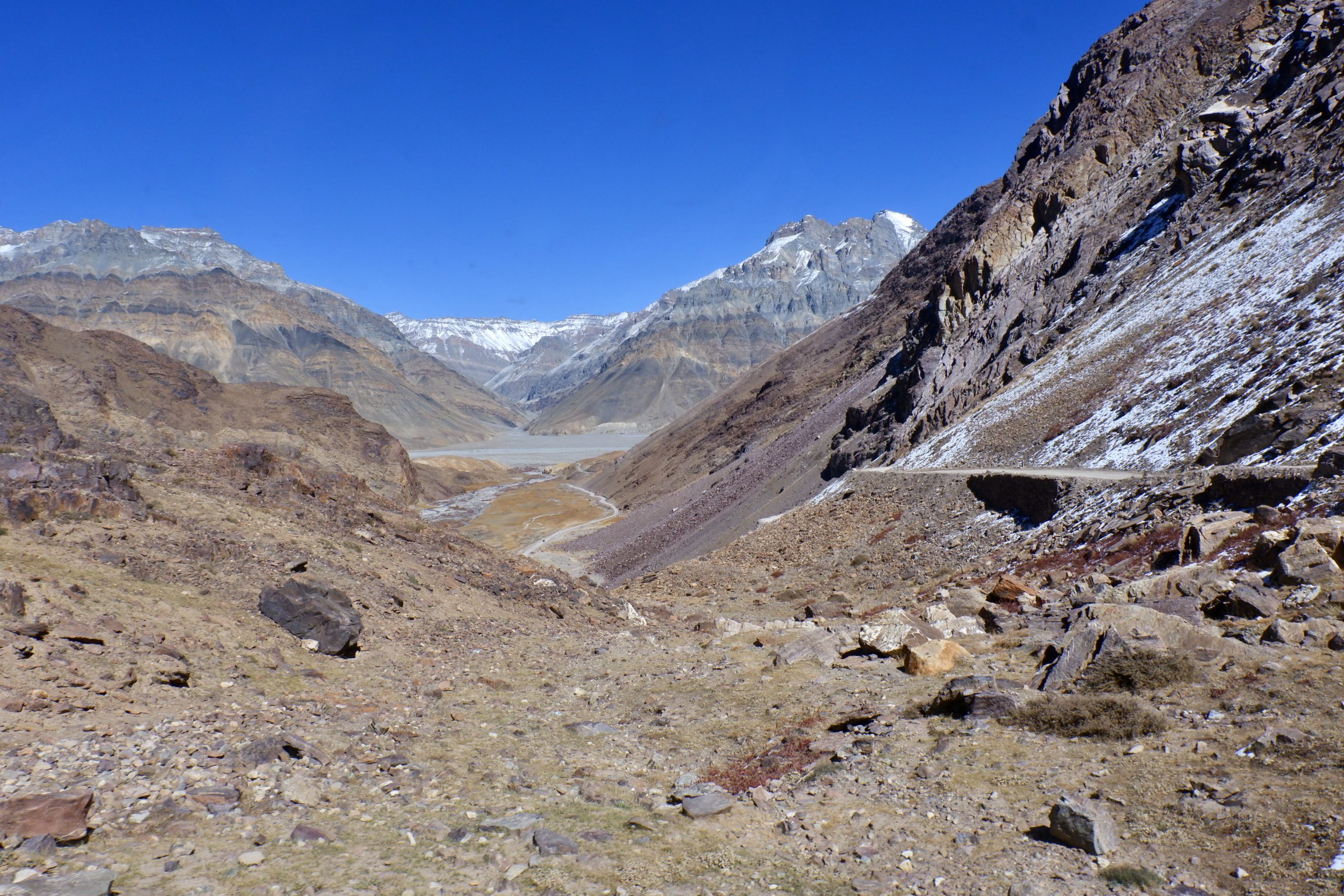
Then we turned off the highway – I wasn’t quite sure if the route was shorter or if I was to be shown another sight. Anyway, we stopped there and I was supposed to take photos. But already the way there was spectacular:
 38
38
 39
39
 40
40
 41
41
 42
42
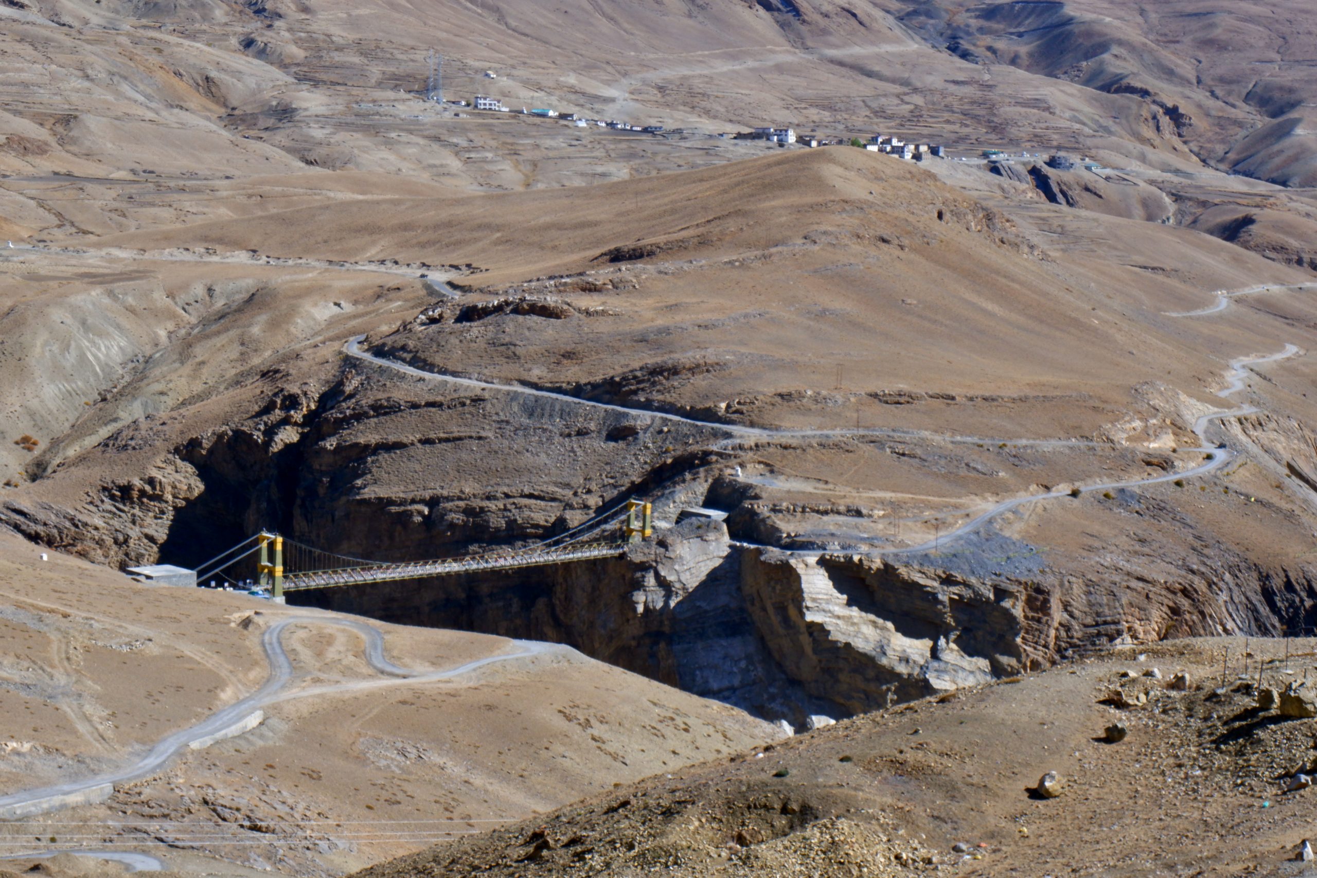
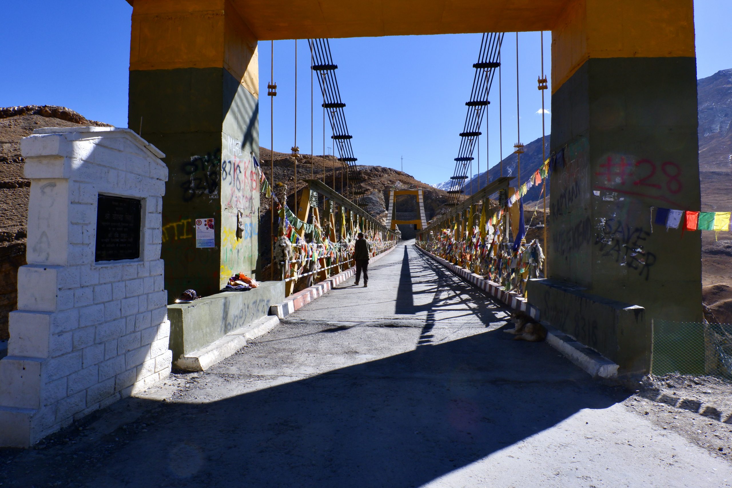
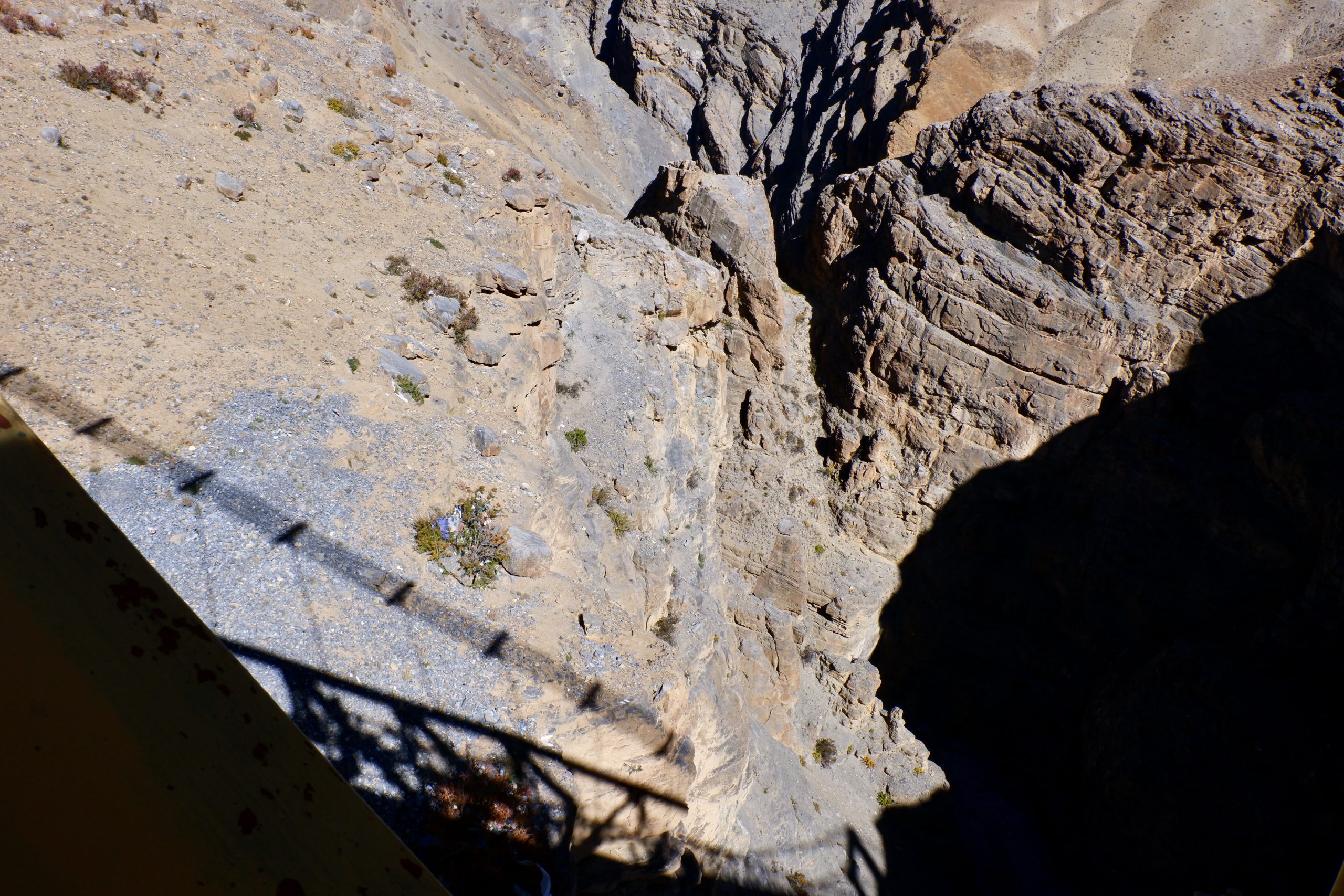
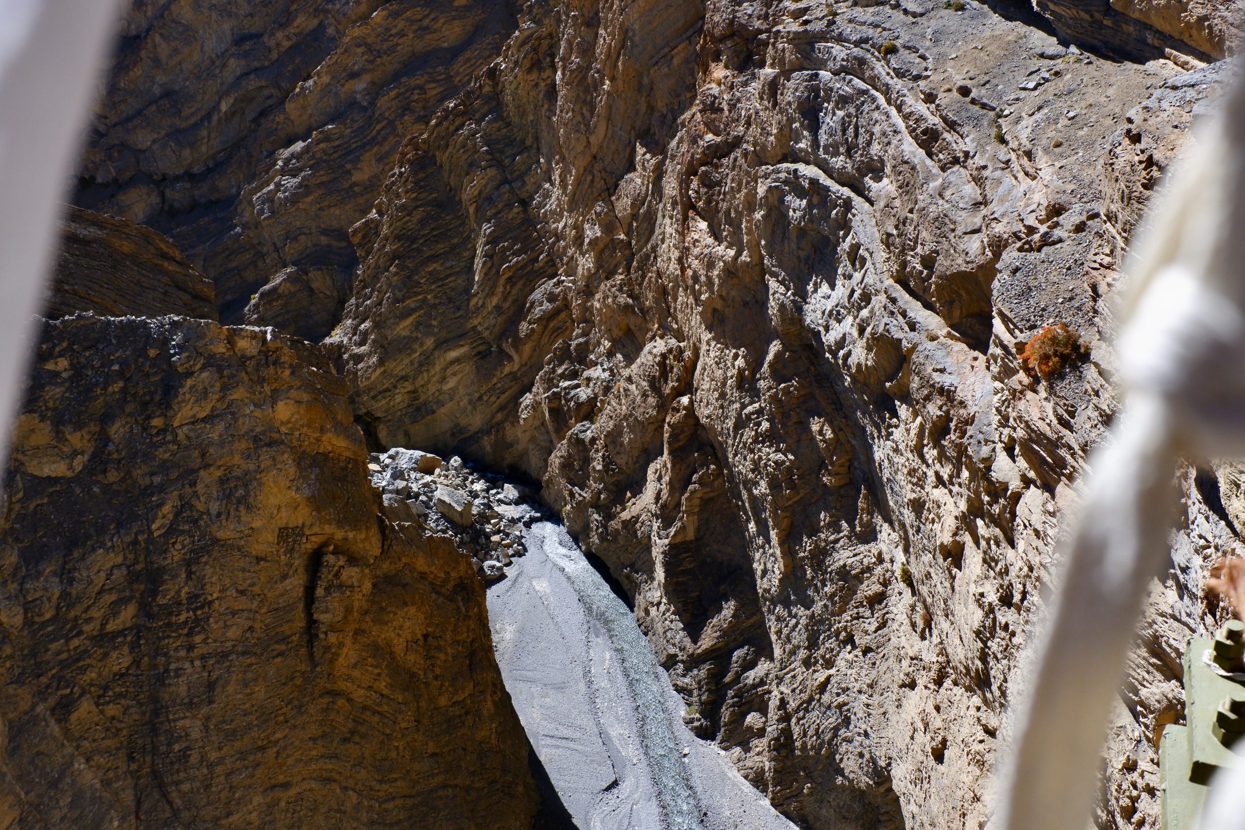
And then came the next highlight: the highest bridge in Asia at 4,144 metres. It bridges a gorge that is about 300 m deep. This shortens the distance between the villages of Chicham and Kibber by over 40 km. You can’t really look down there easily, and I found it all too difficult photographically, as I was also a bit afraid of heights. But it is impressive. How do you build something like that? It took 15 years until the bridge was opened in 2017.
 43
43
 44
44
 45
45
 46
46
 47
47
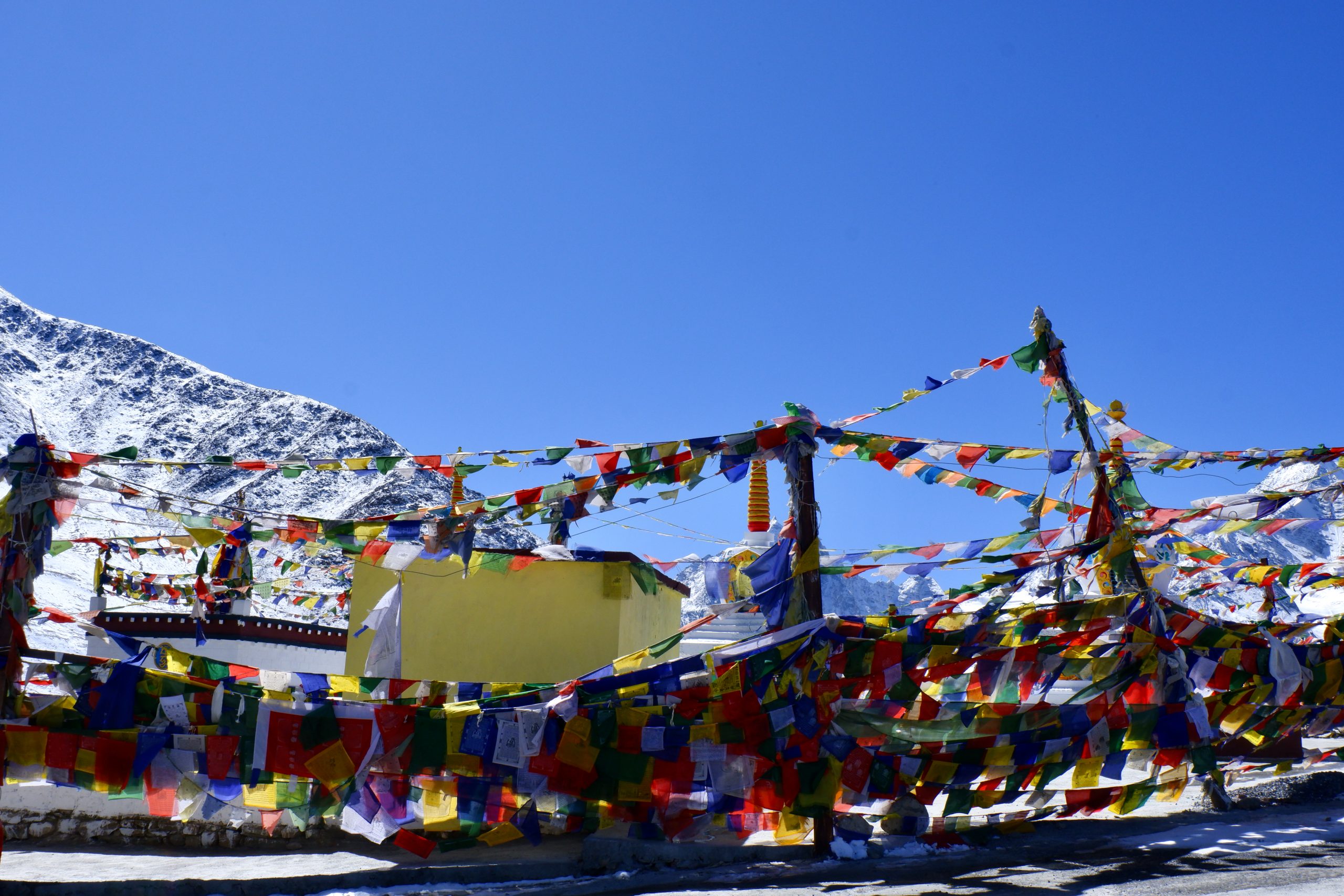
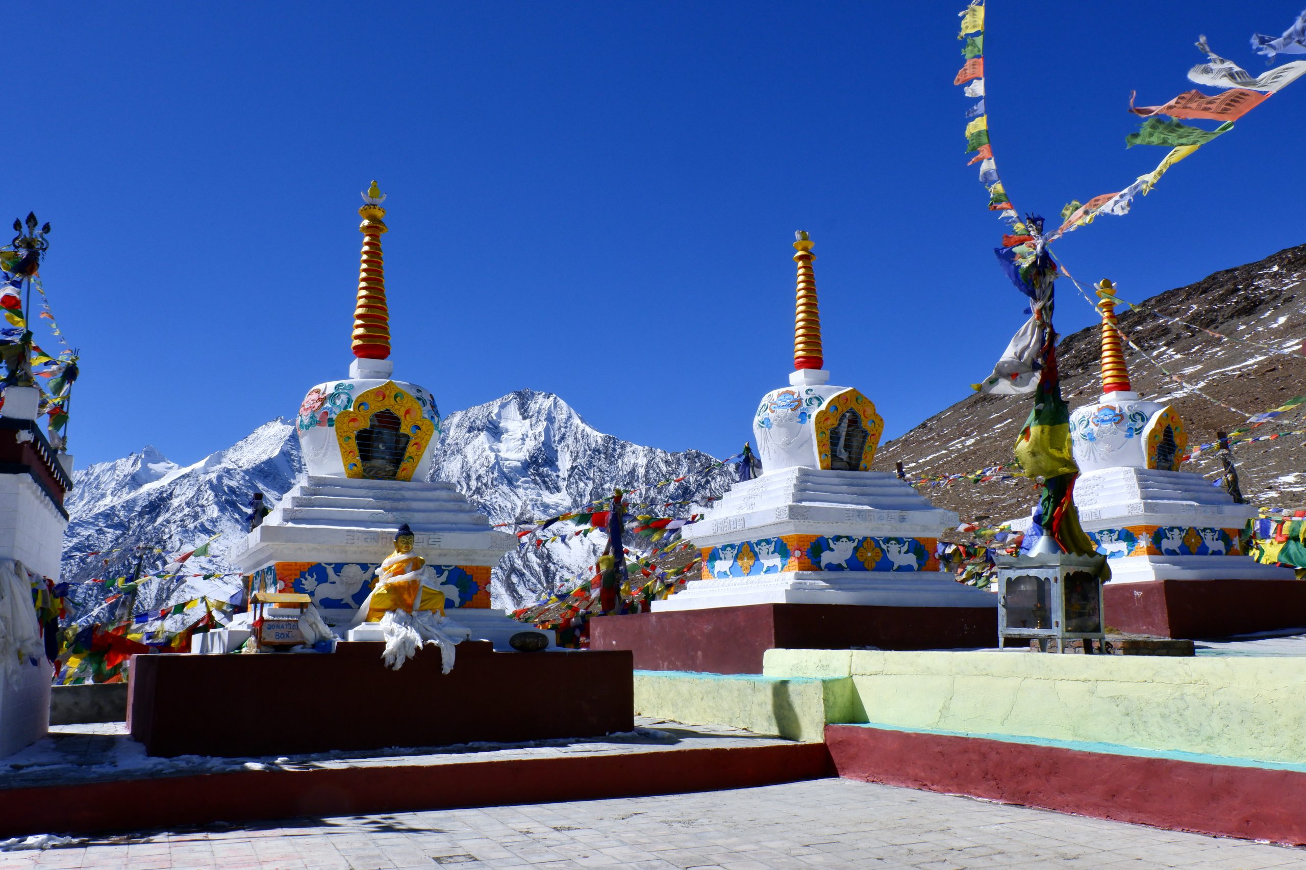
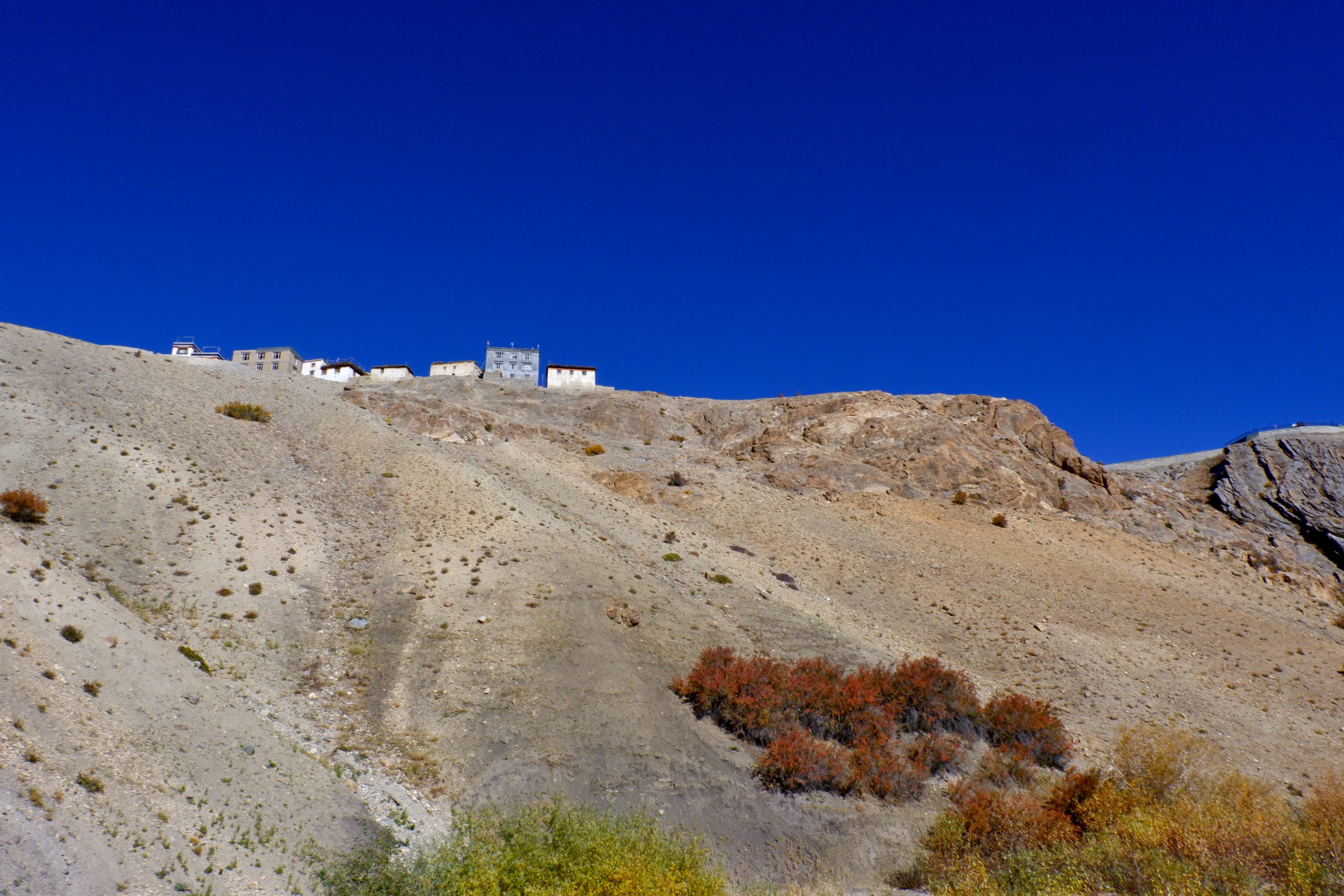
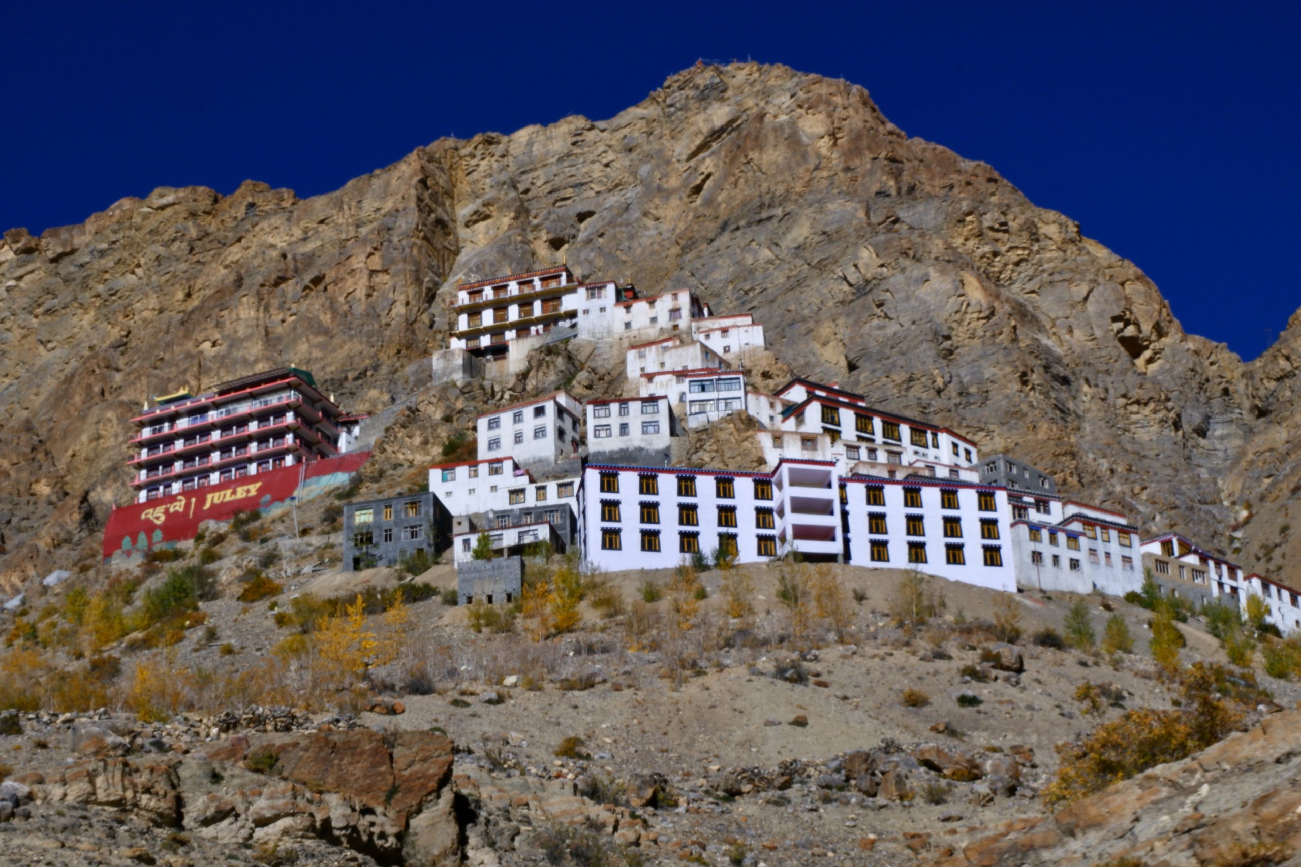
And then it was some another kilometres to the capital of Spiti: Kaza. Here are the last pictures:
 48
48
 49
49
 50
50
So Kaza is the capital and, according to Wikipedia, lies at 3,800 m. My altimeter only shows 3,600 metres. But I didn’t really care, I’m have some altitude sickness and thought I’d rest here for 3 nights before doing anything else. I also need to find out exactly how everything is regulated with the permits – it’s a bit unclear to me. And in general, I haven’t yet dealt with Spiti in such detail that I know exactly what I really want to see and do there.
So the next blog post will be about Kaza!