Manali – Hiking Days with Raju
16. – 18. May 2026
Since I thought it would be better not to hike alone through the mountains, wanted to help someone earn a bit more money, and also hoped for company and hiking ideas beyond what Mapy was showing me, I hired a guide: Raju.
Raju is 35 years old and lives alone with his mother in Vashisht. His mother is Buddhist, his father Hindu — and they are divorced. His mother used to work in construction or road building (I don’t remember exactly), but by now her body is too worn out for that kind of work. Raju takes on whatever jobs are available — we came up with ten different kinds of work he has done, ranging from local tunnel construction to being a waiter in Goa to selling goods at a Tibetan market in Rajasthan. Most of the time, though, he works in the outdoor and trekking sector — interestingly, he has also worked for Hauser Exkursionen and Diamir before. Right now, he is employed at a tent camp in the Tirthan Valley, where he organizes outdoor activities and entertainment for children and teenagers visiting from elsewhere. And for me, he was allowed to take some time off!
Searching for Dhani Devta
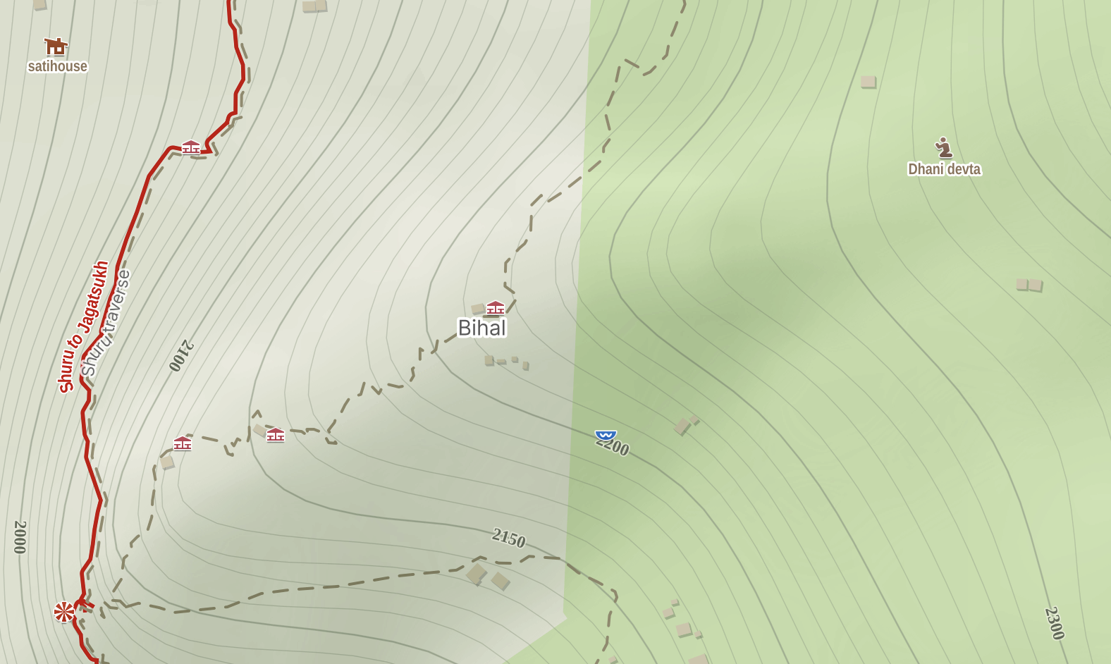
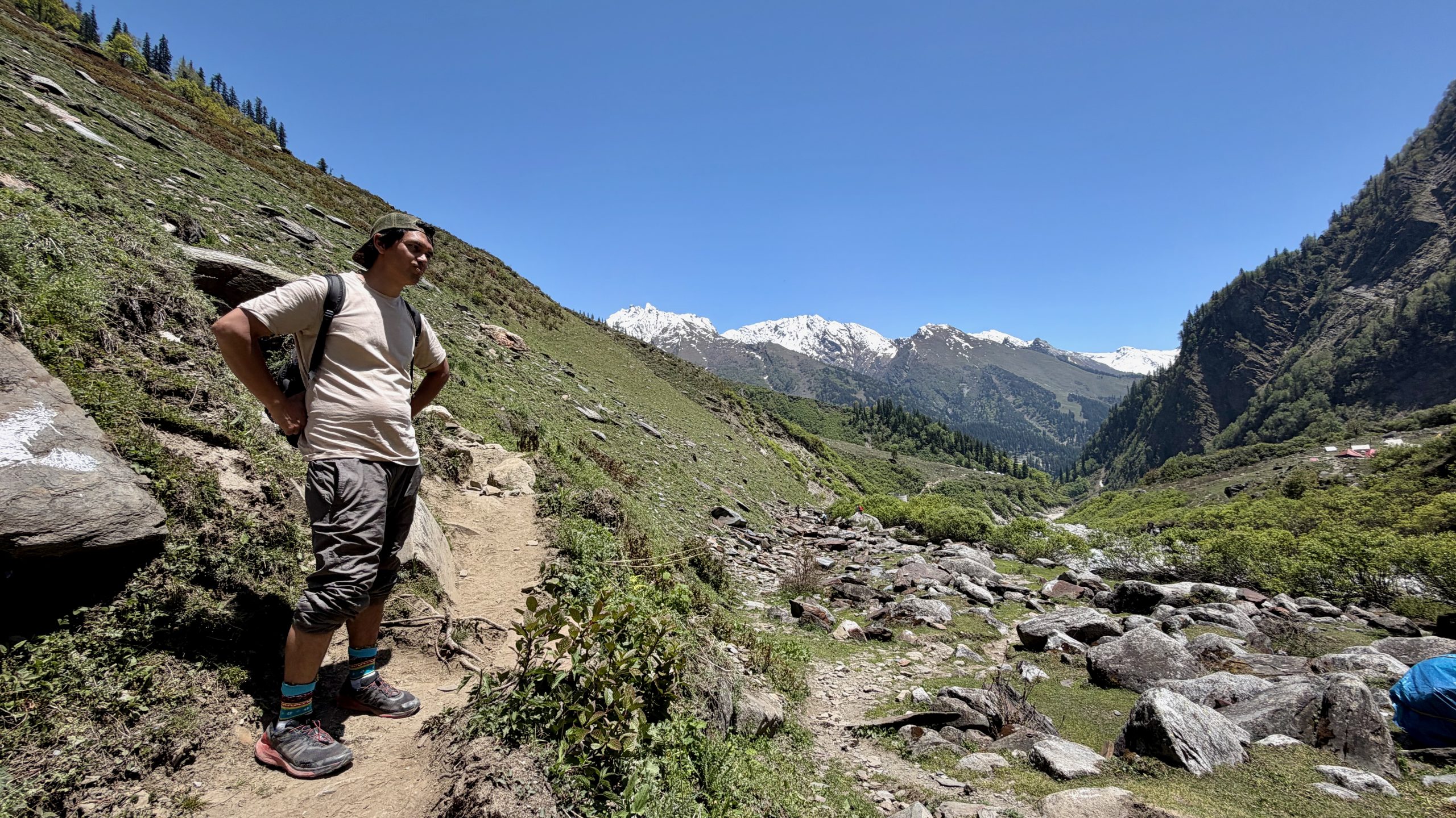
As a start, Raju had suggested an easy hike from Shuru to Jagatsukh. I wanted to extend it by visiting a temple higher up in the forest that I had spotted on the map — though without any visible trail leading to it. “Sure, we can do that!” he said. But there was a misunderstanding: he had simply thought I meant a temple in general, not the specific one I had pointed out on my map up there to the right.
We were almost finished with the hike before the misunderstanding became clear. Then he asked a few of the people we met along the way, and they actually pointed us toward a path. But first things first: we met at the bus stand and traveled to Shuru. It’s a village with a few older farmsteads and houses, along with several newer ones.
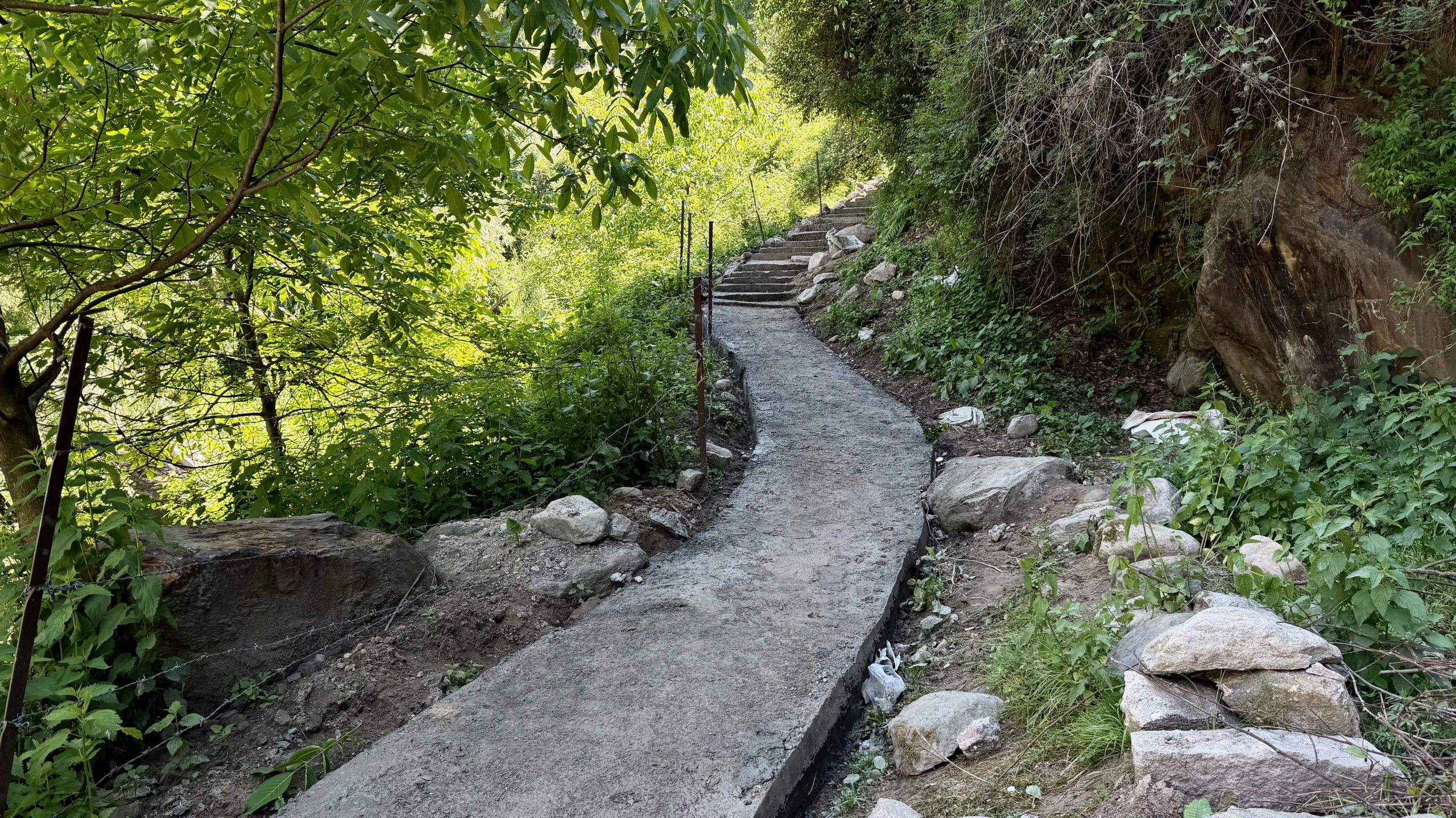
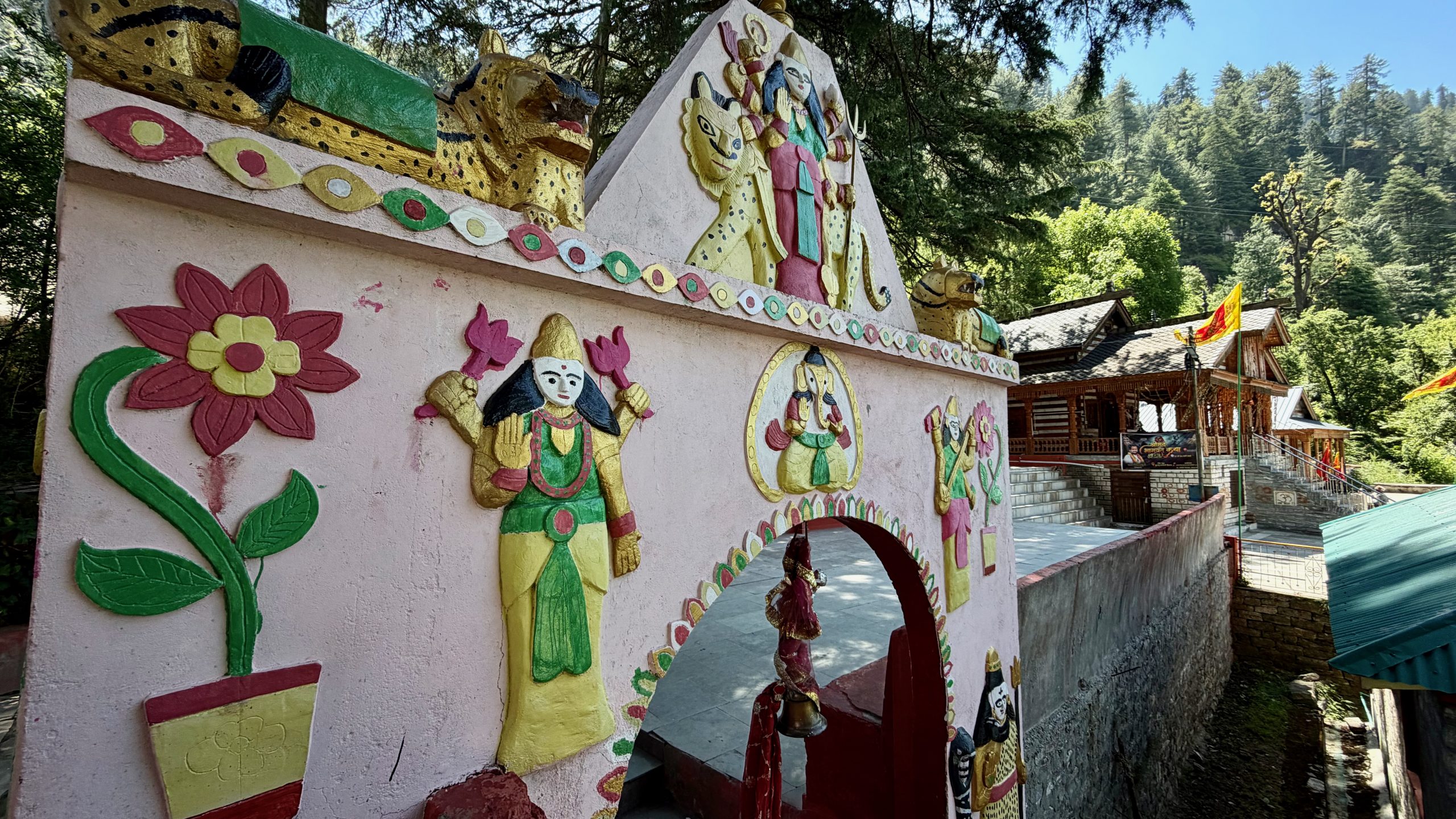
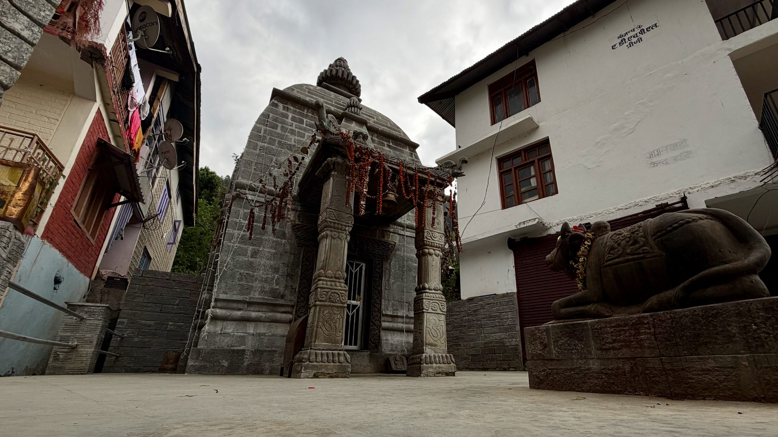
At the end of the village was a temple, which we checked out.
Then we continued along a beautiful high trail through the landscape.
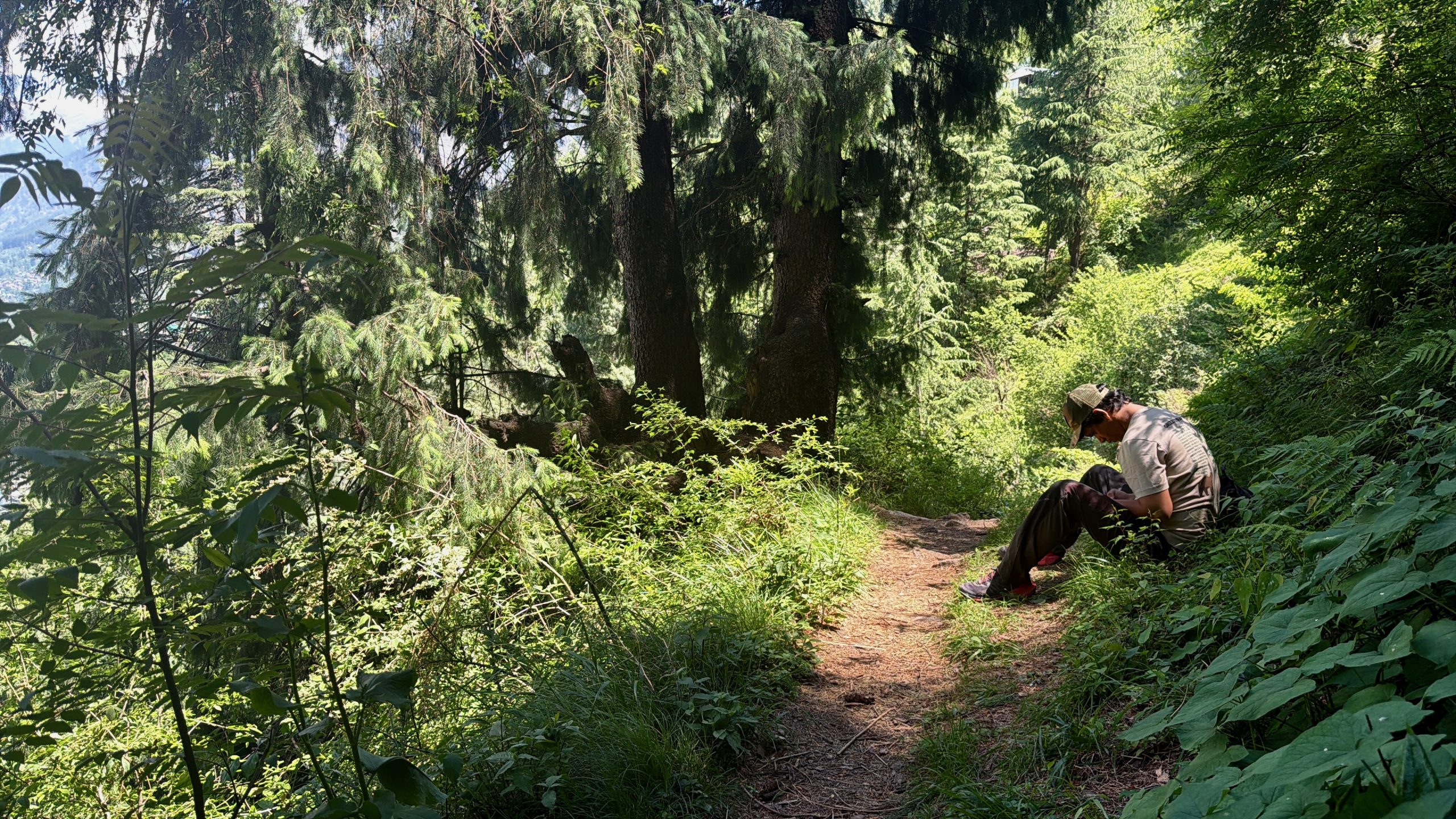
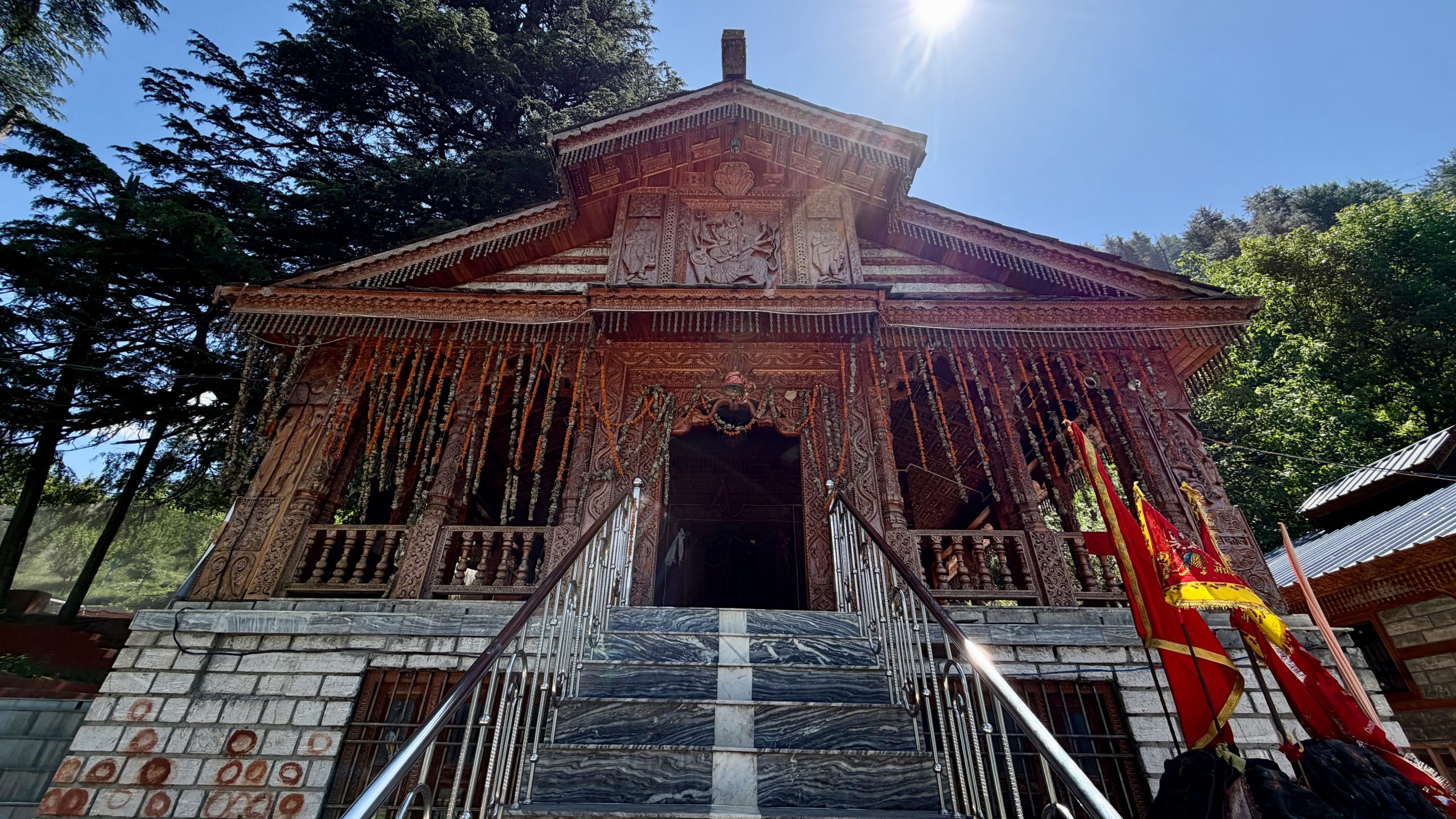
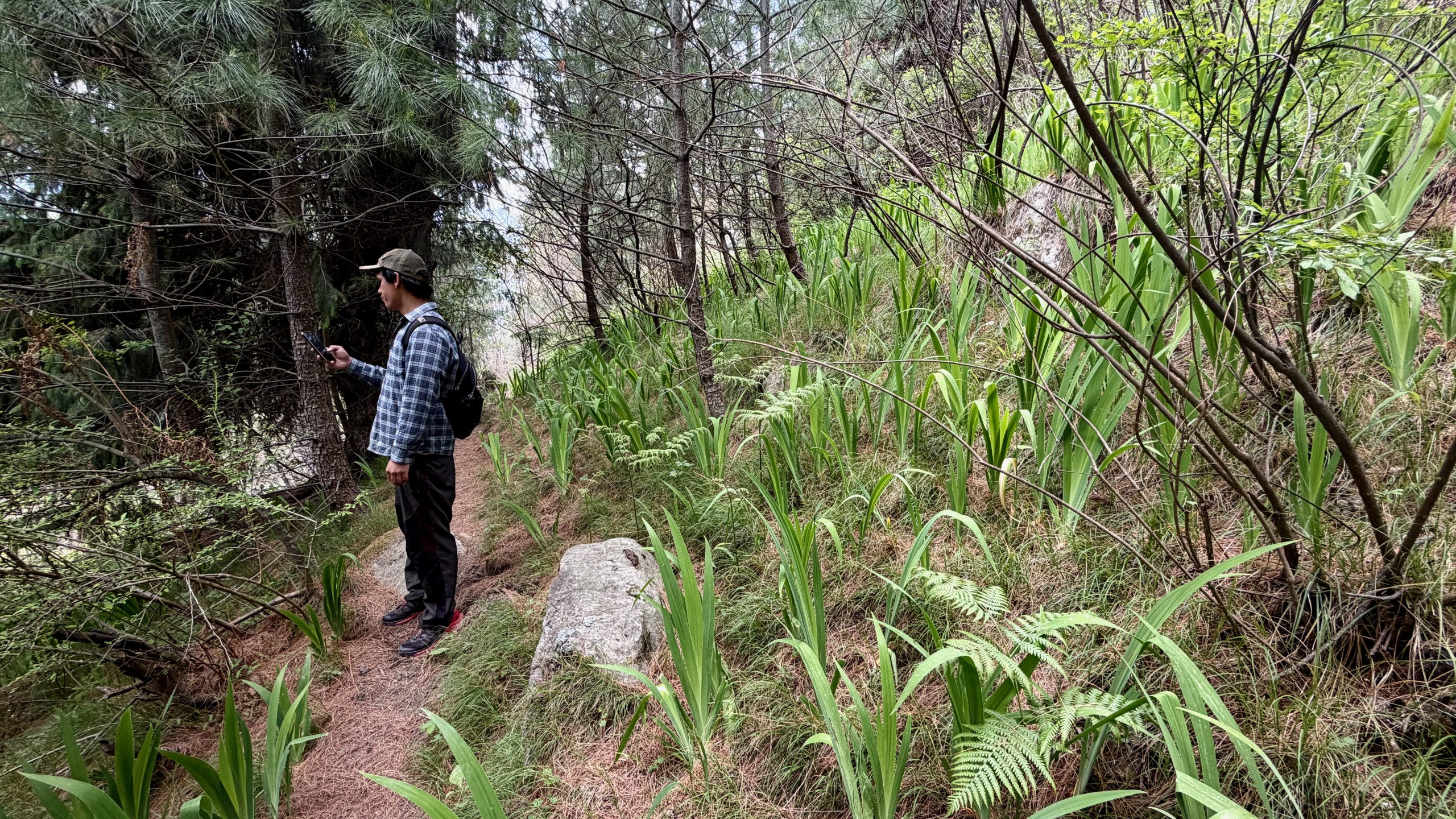
We only came across a few locals, but no other hikers. It was wonderfully quiet, the cedar trees were fragrant, and the weather was warm. Then we turned off to reach the Dhani Devta temple. Every village here seems to have little temples or shrines hidden away in the forest. Because of the many intersecting paths, Raju occasionally had to ask for directions.
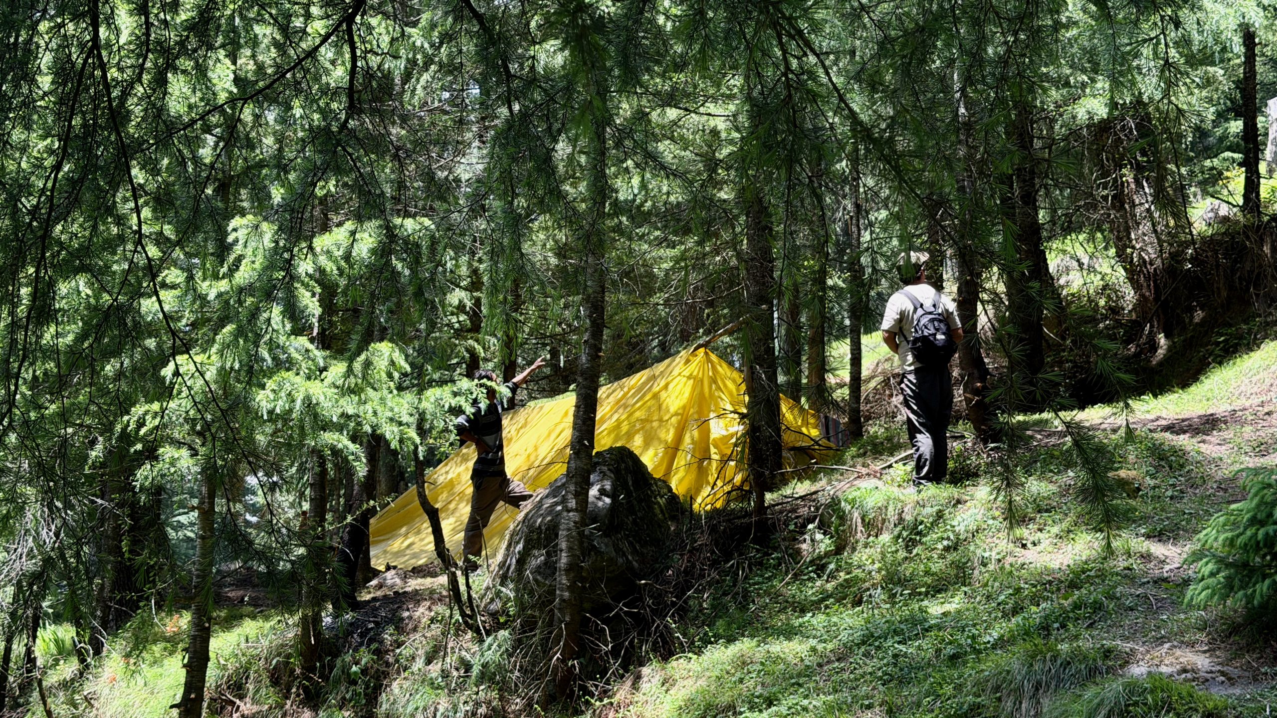
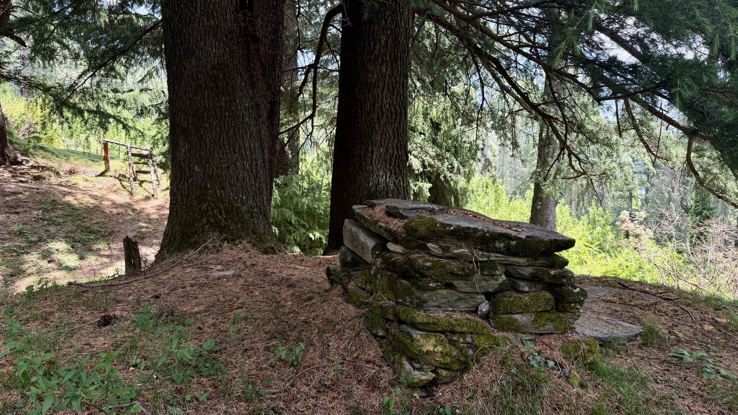
And then we found it! And I had to laugh because it was so utterly unspectacular that I would never have recognized the little structure as a temple or sacred place at all. But Raju and my phone both seemed quite certain.
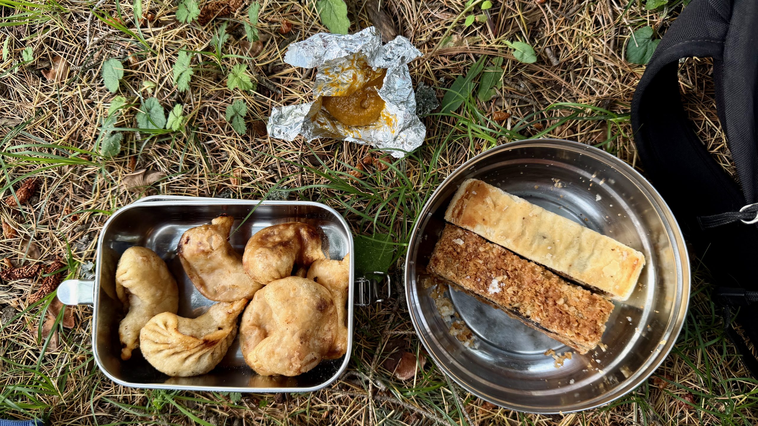
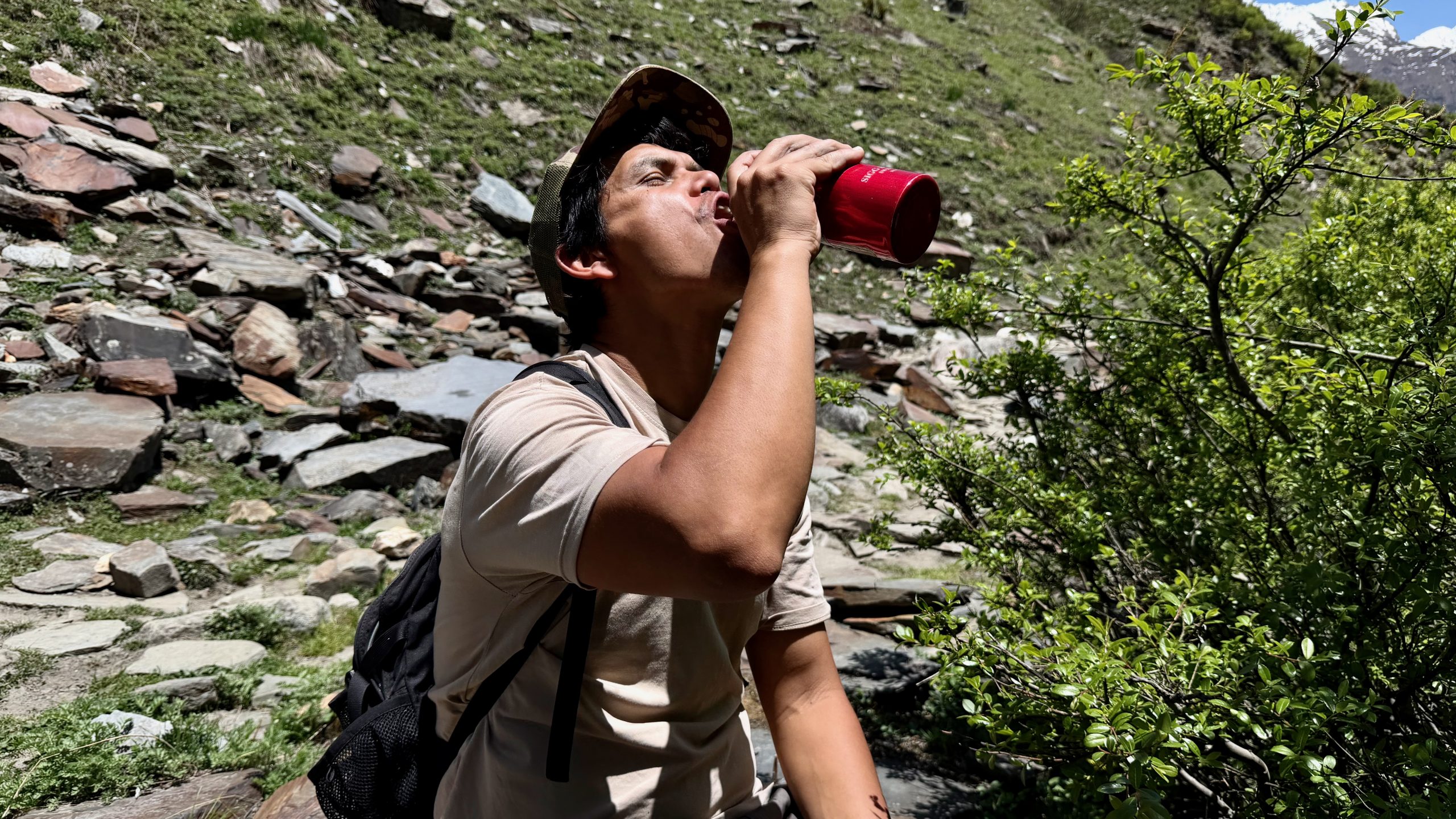
We ate the picnic we had brought along (cold fried momos are actually great!) and then started descending again. It turned out to be more strenuous than expected because the trail was fairly steep, I had forgotten my hiking poles, and one of my knees was acting up a little, so I had to be quite careful. We took a different route down, and then the weather became a bit worse — though not too badly.
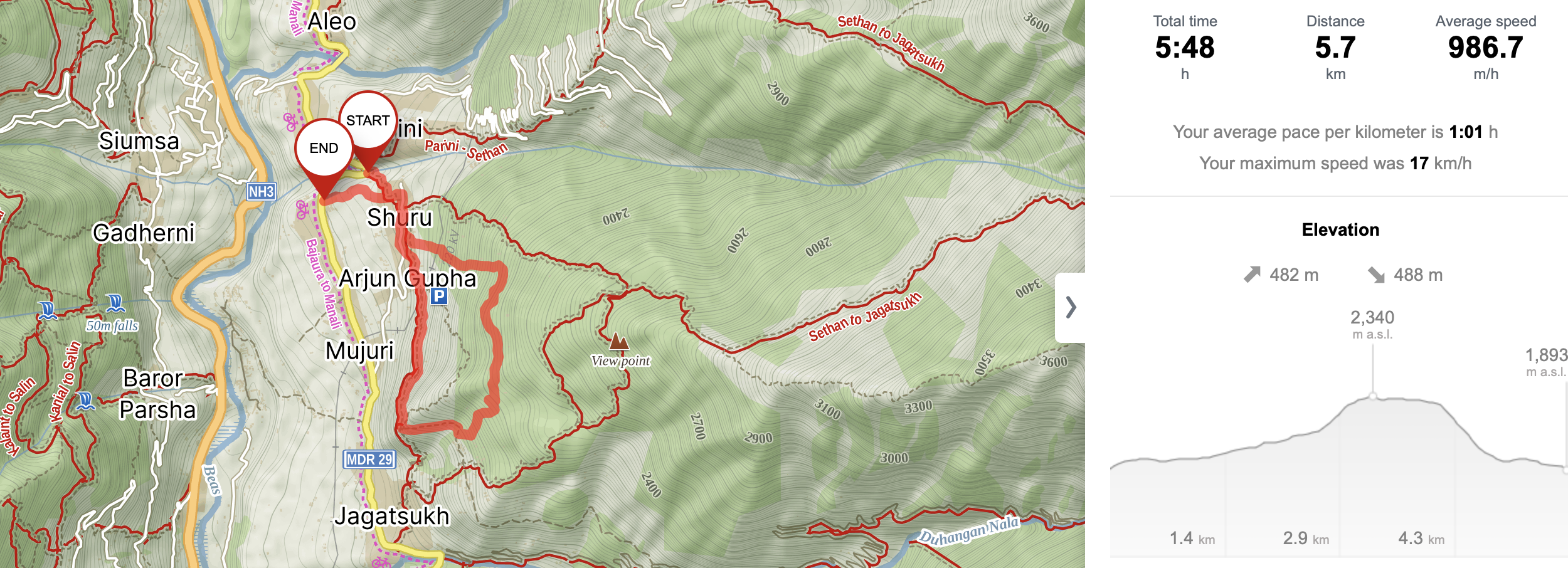
I recorded the hike. However, the tracker also counted all our breaks, so it looks as though we were unbelievably slow. My conclusion: the “normal route” is definitely worth doing. You get away from all the bustle and are surrounded by beautiful nature.
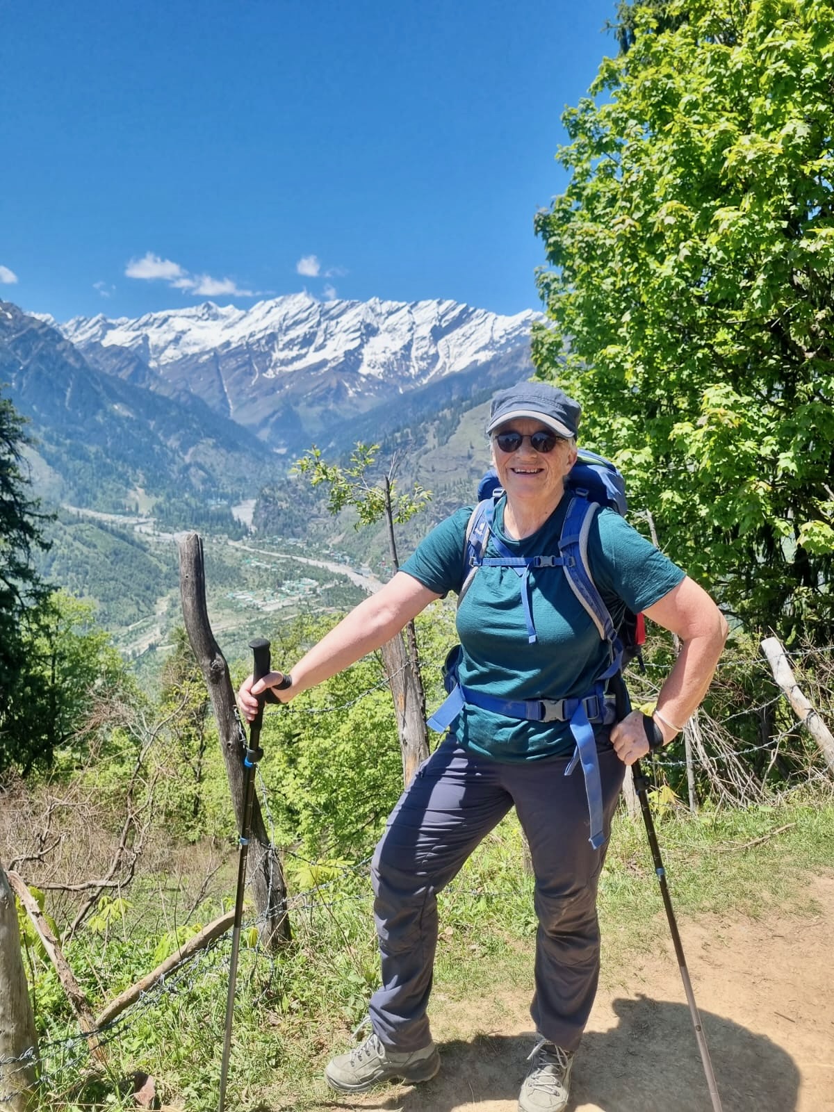
From Kothi to Vashisht
The next hike was Raju’s suggestion. The only downside was that the starting point lay along the road to the still-closed Rohtang Pass, which meant there were no buses going there — or rather, only one at 12:30 p.m. That was when I learned just how wildly taxi prices can vary here. We managed to get one for 800 INR, while a friend of Raju’s refused to go below 3,000 INR. Raju got absolutely furious about that.
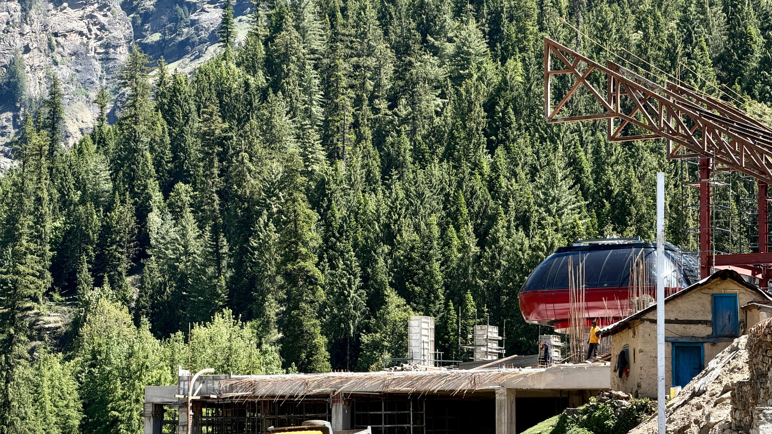
The starting point in Kothi is a wider carriage road. Back in the day, the British had apparently planned to build a road all the way to Vashisht or somewhere around there. But the project fizzled out after just one or two kilometers.
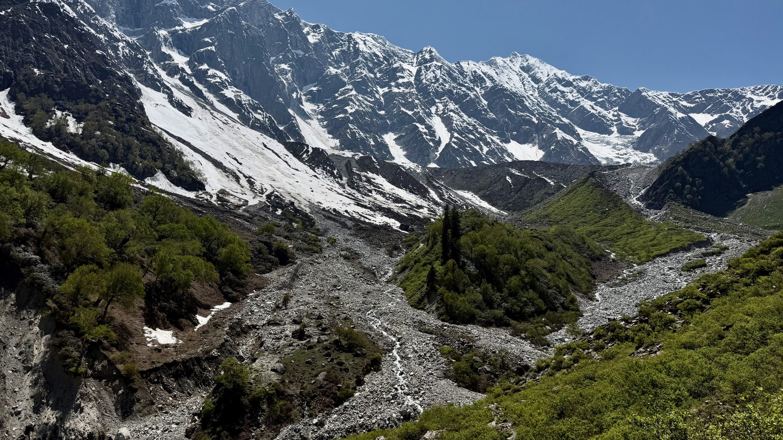
Instead, we were able to watch work being done on a very large and long gondola lift. The valley here does have ski tourism, but until now only a small gondola existed. People either hike up themselves — or take a helicopter. But they also believe that plenty of tourists will love riding this new gondola in summer as well. You can see some sort of intermediate station here.
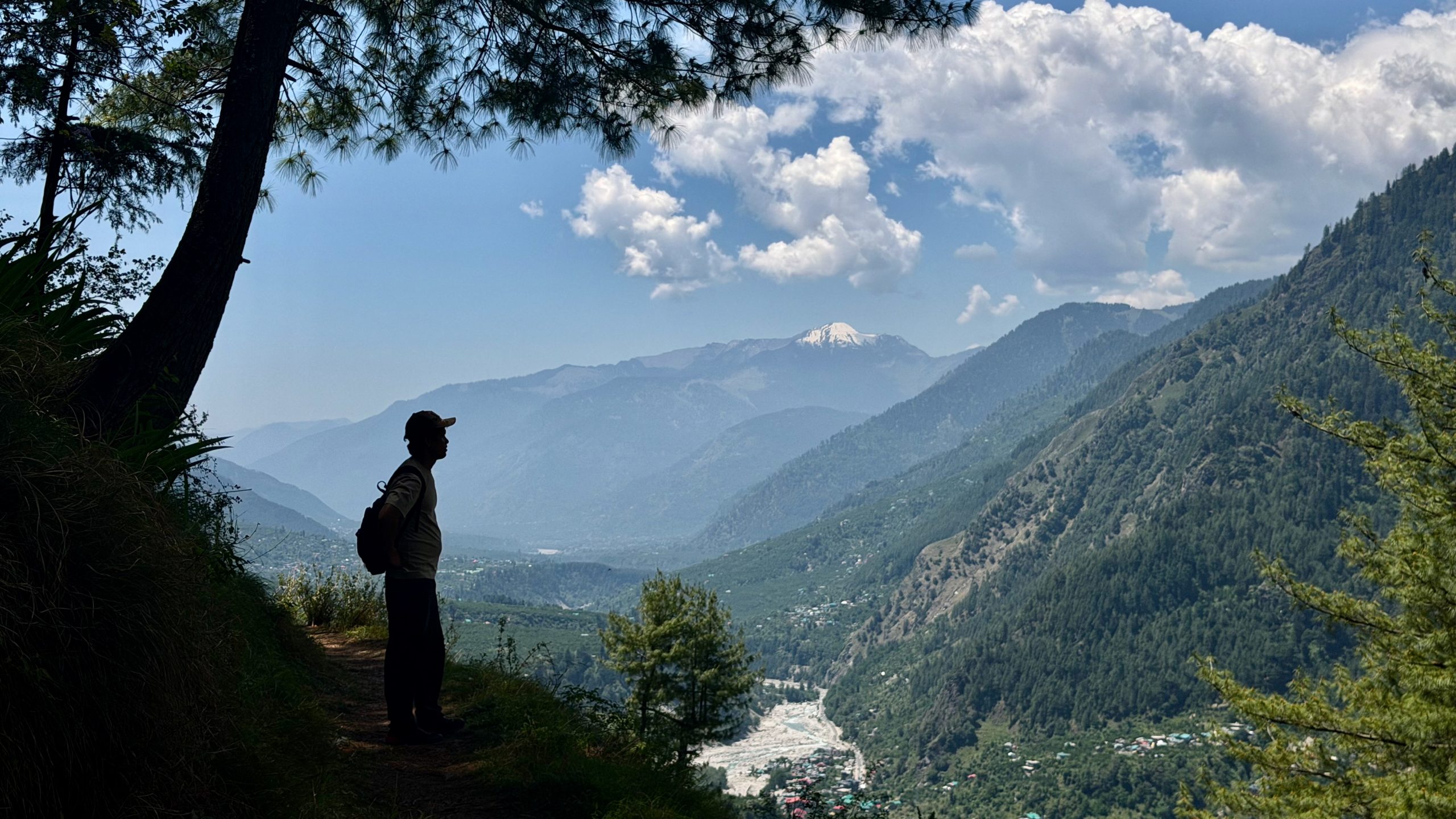
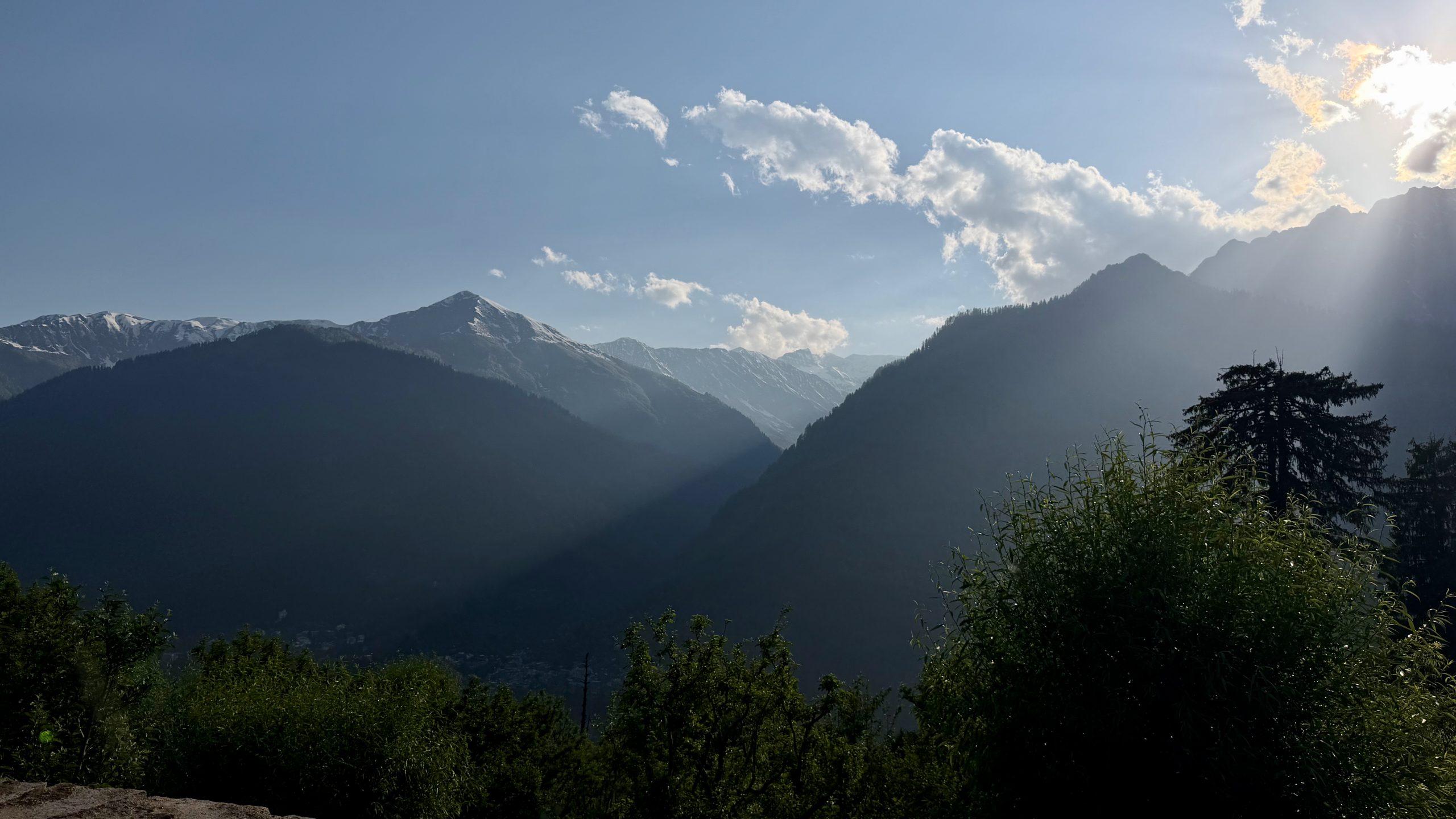
We hiked quite slowly because we kept stopping to look around. Well, mainly me. Up here, higher in the mountains, the scenery is already really spectacular.
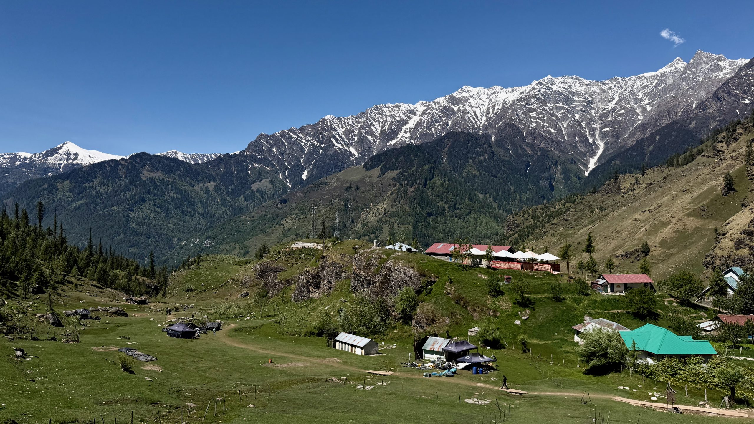
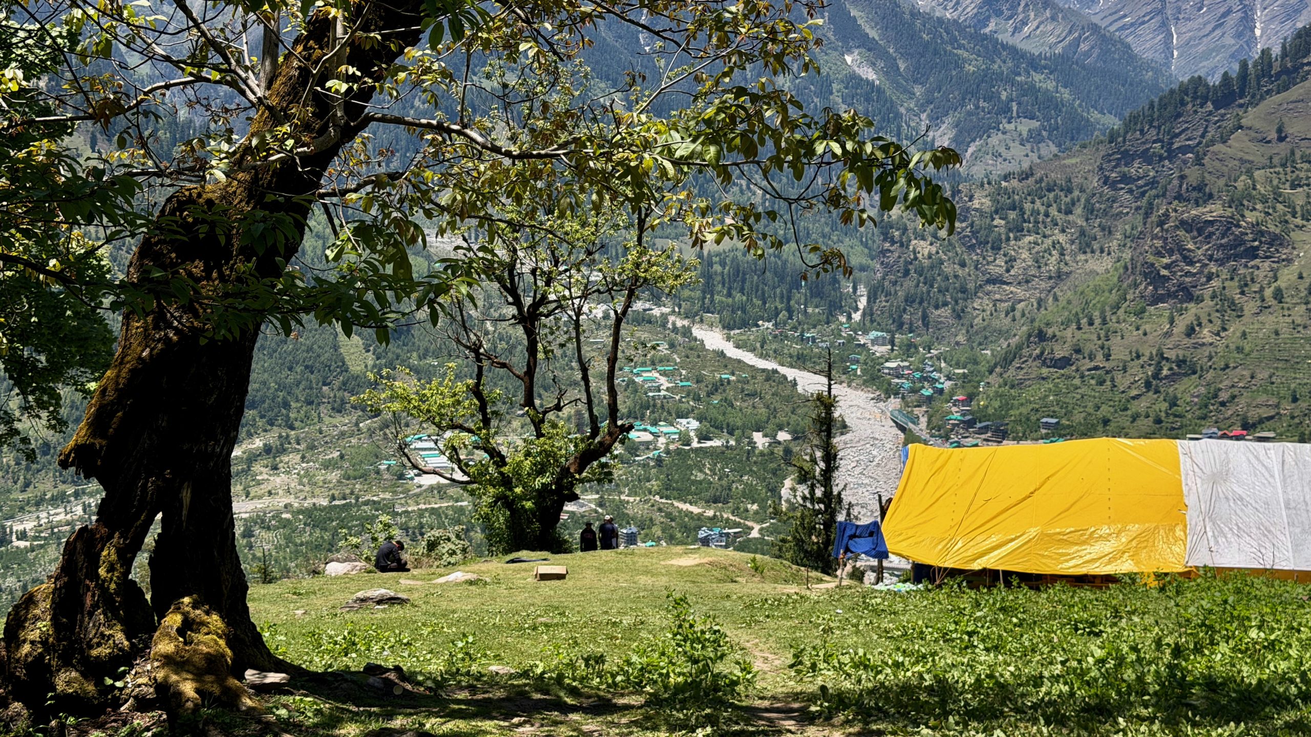
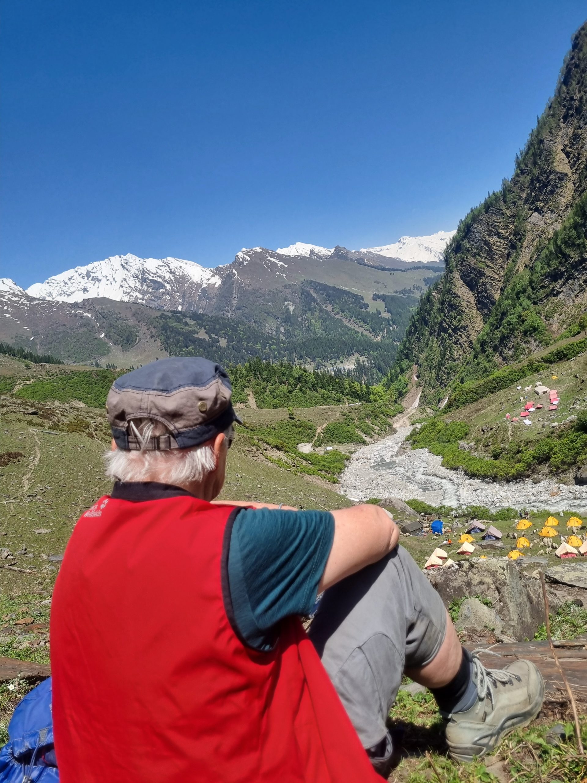
This time, we weren’t alone. We came across quite a lot of groups of children and teenagers, mostly from Gujarat. They escape the 40-plus-degree heat there and come to these tent camps to learn about outdoor life and the mountains. I really loved seeing that. And they were incredibly friendly. One shouted to me, “I like your spirit!” and the next one said, “You are an inspiration!” Of course, most of them were curious — as far as I could tell, I was the only Westerner hiking there. But they were not pushy at all, and nobody asked for selfies. I was curious too and asked them things as well.
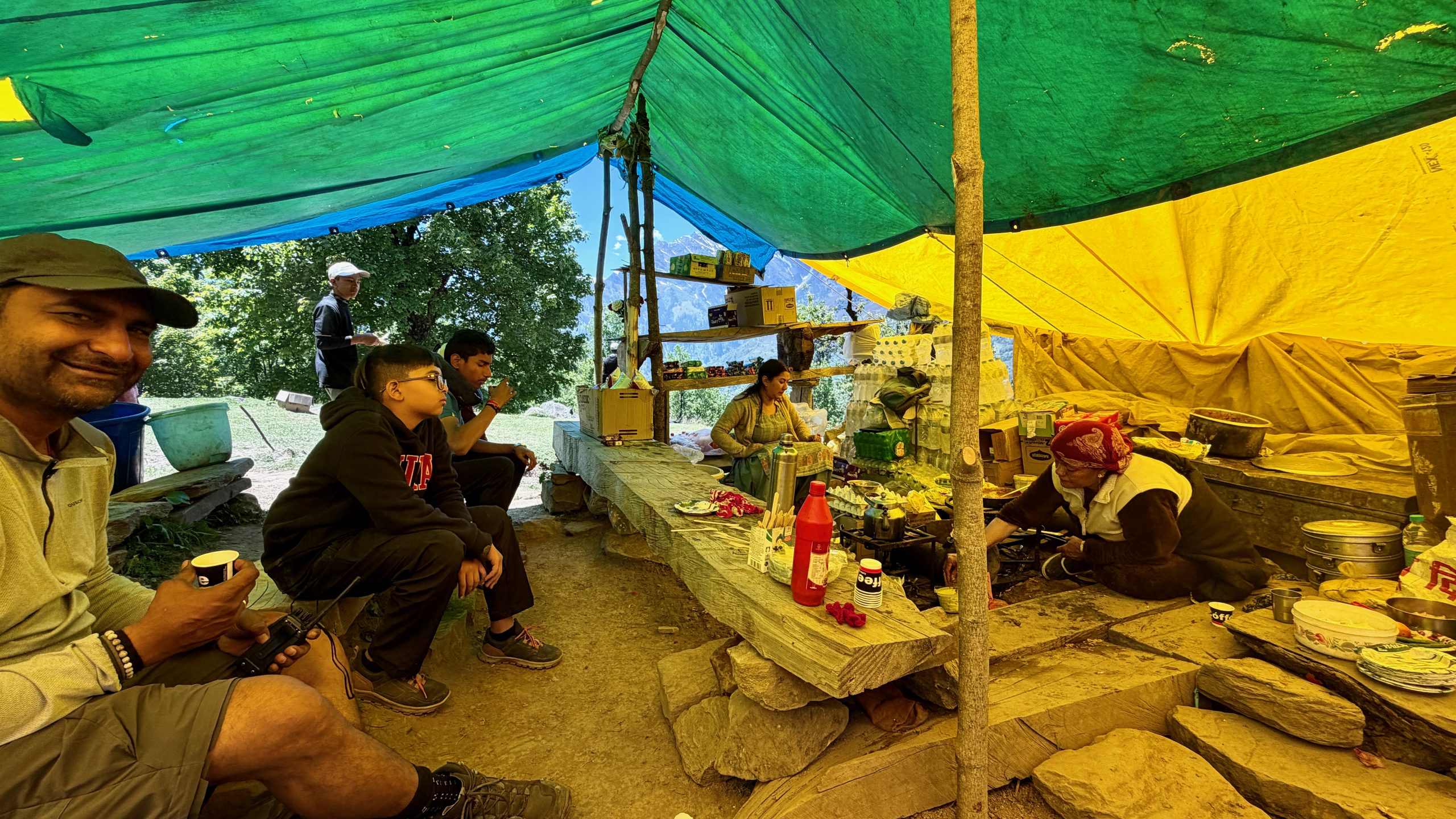
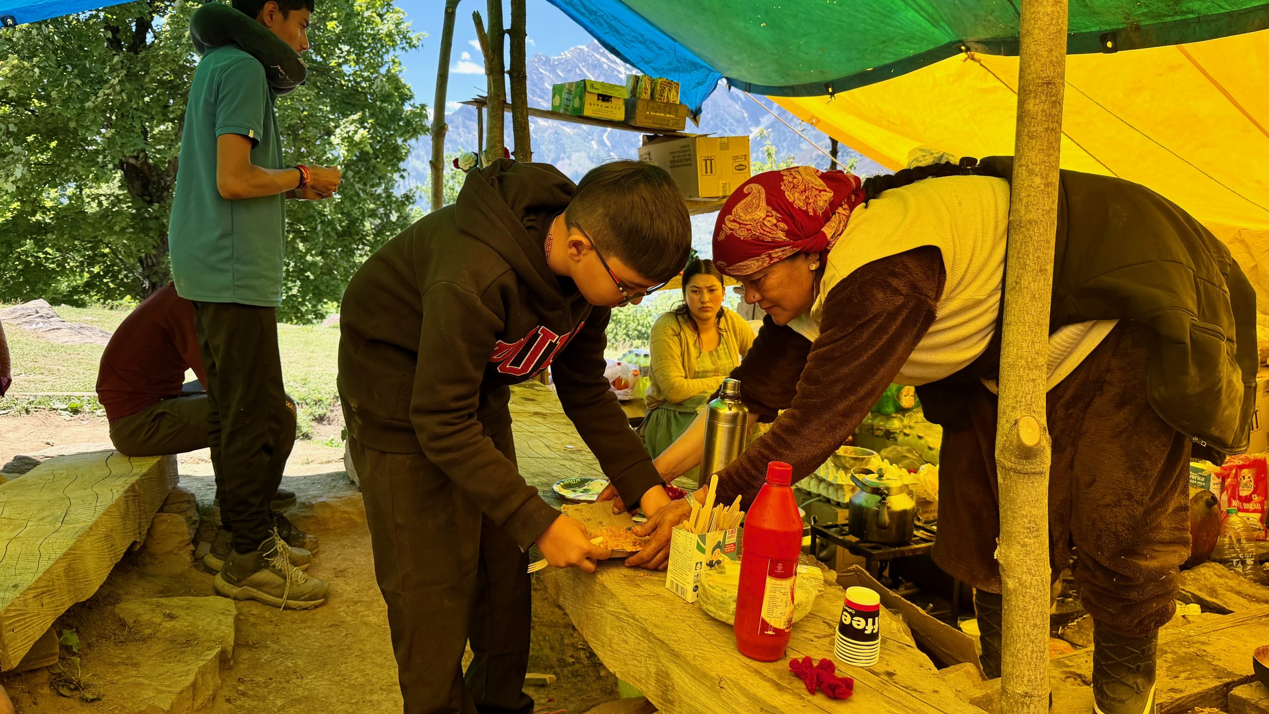
Then, at one spot, there was a tea tent that also served Maggi noodles (enhanced with tomatoes, cabbage, and onions). It was run by three women who walk up from their village below every day and then back down again afterward. We stopped there for a break. I really loved that too.
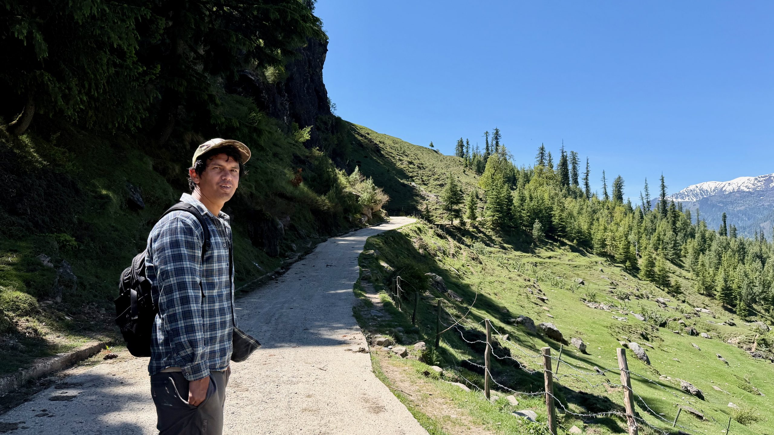
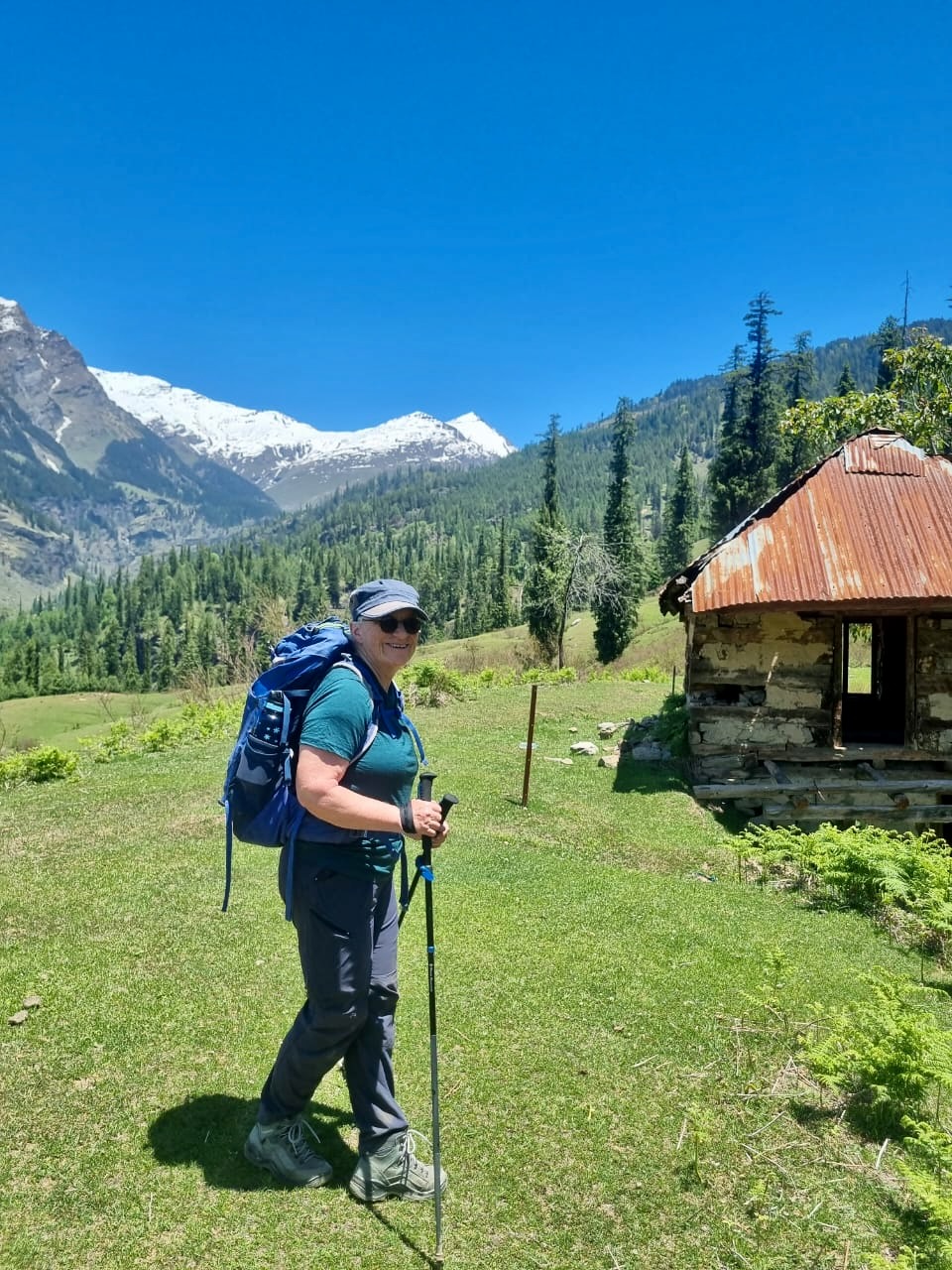
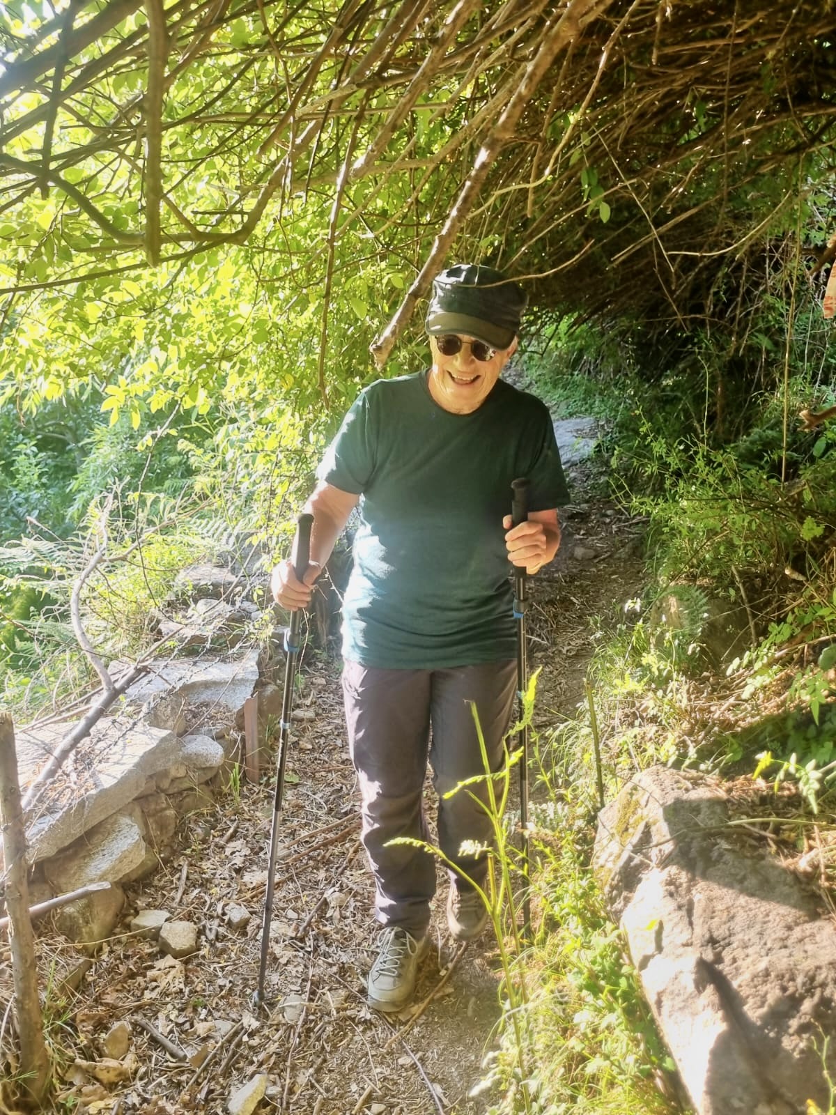
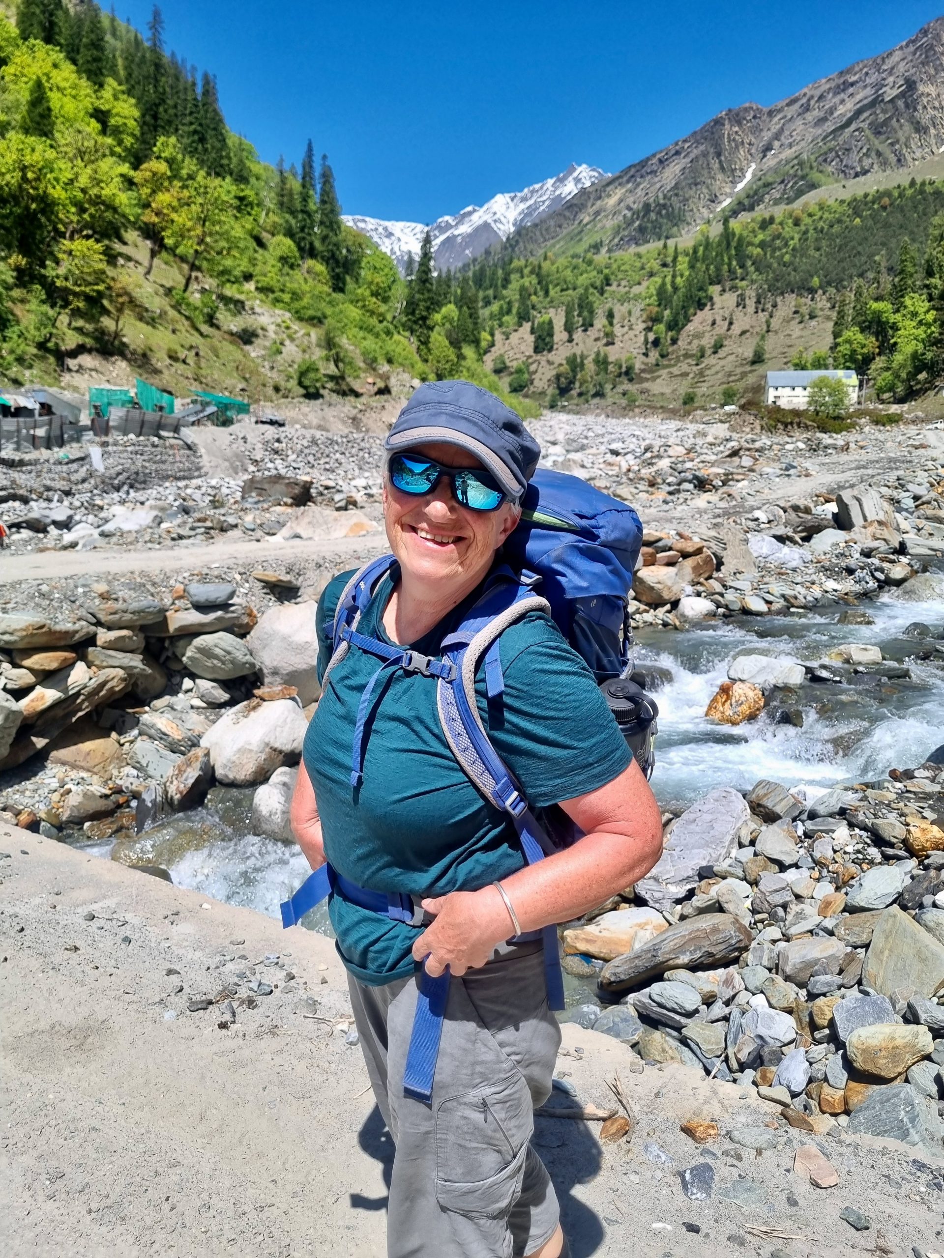
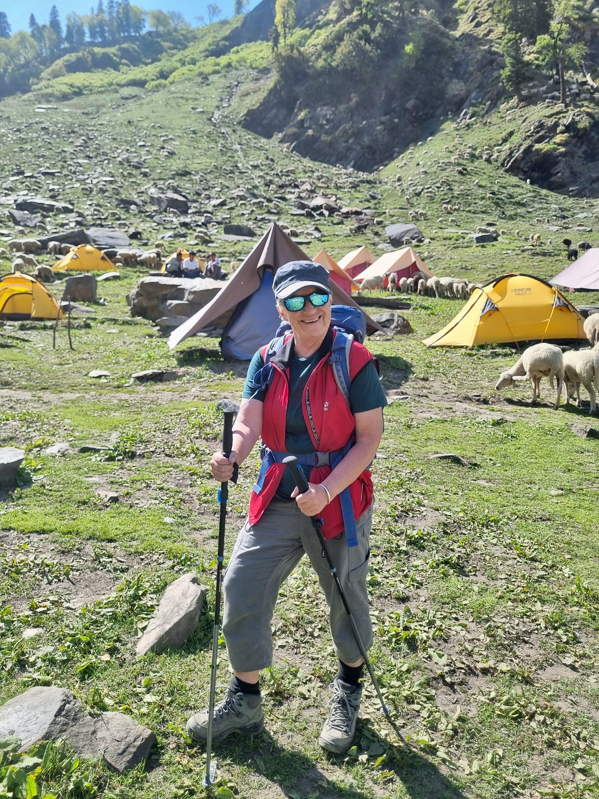
It was a wonderful high trail with constantly changing vegetation. After Raju hadn’t taken a single photo of me the day before, he more than made up for it this time, and now there are lots of pictures of me — which makes me really happy.
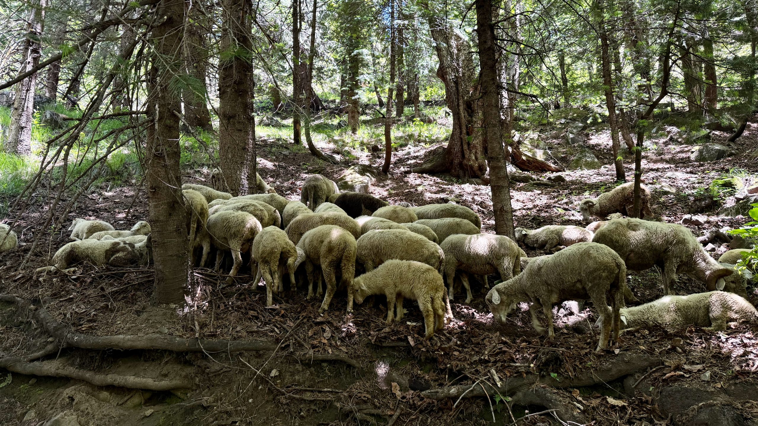
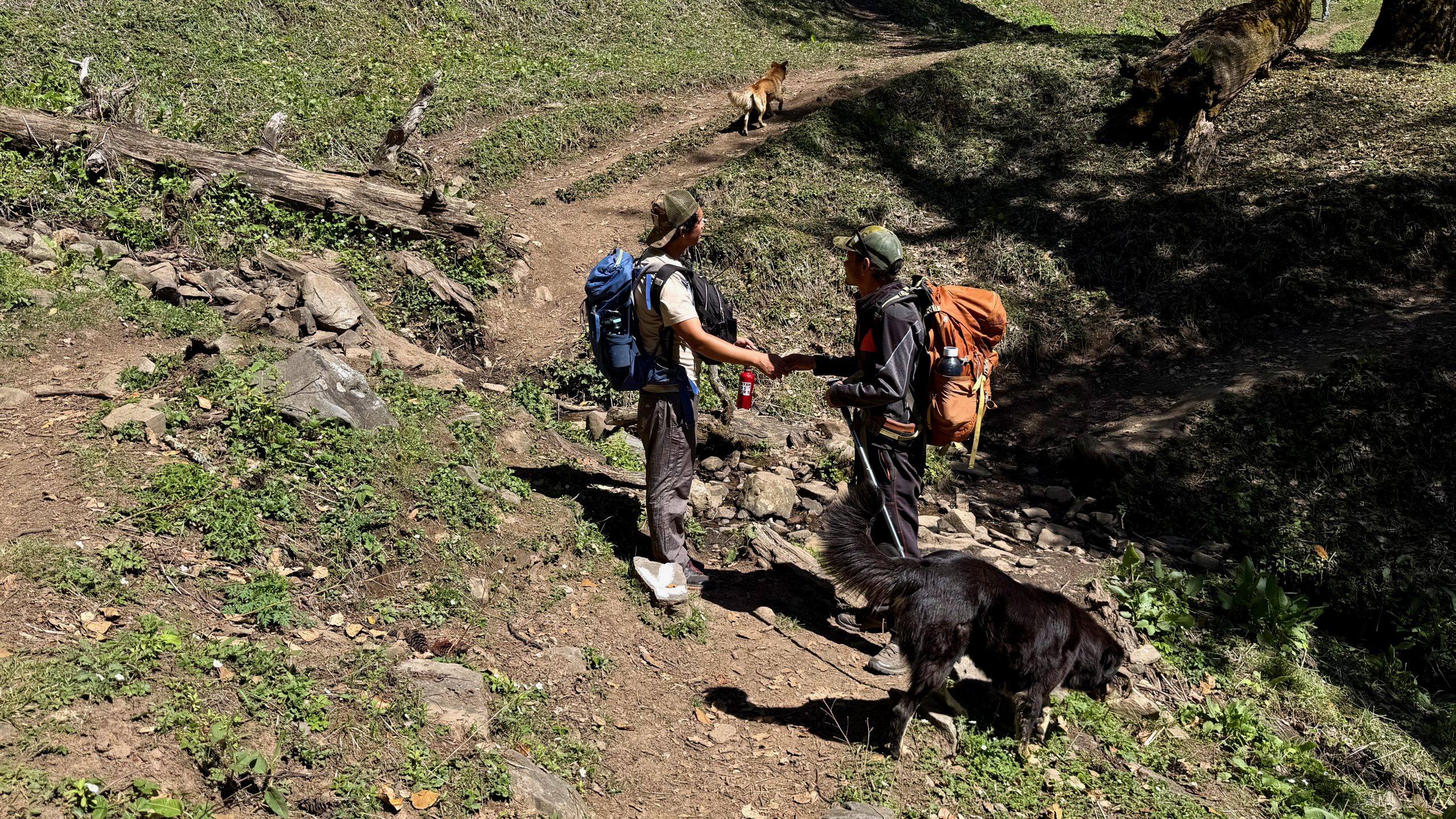
Along the way, we not only met all those children but also sheep and a few people Raju knew.
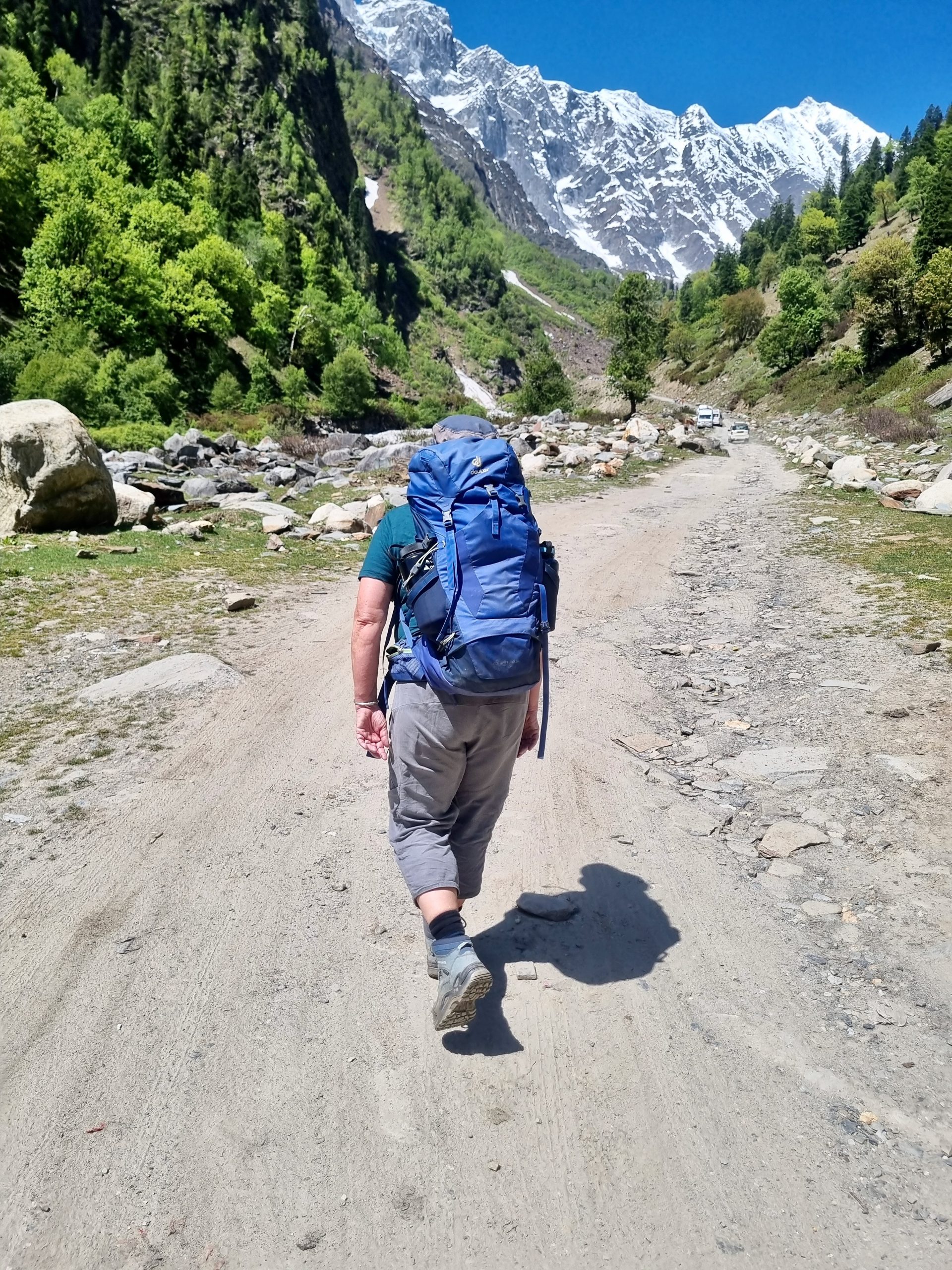
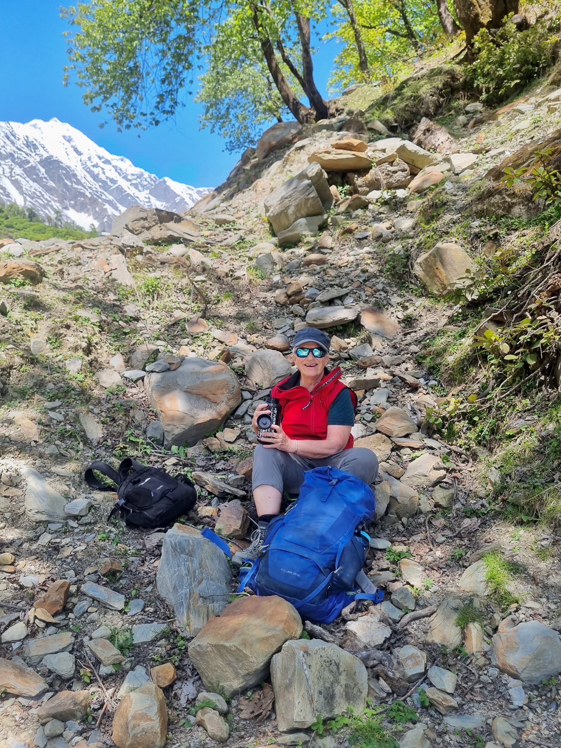
That morning, I had awkwardly strained my back and hoped that the movement would somehow loosen it up again — but no such luck. So after lunch, I finally gave in to Raju’s offer to carry my backpack. By the way, it only looks that full and heavy. It was definitely full, but mostly with light warm clothes inside. You never know.
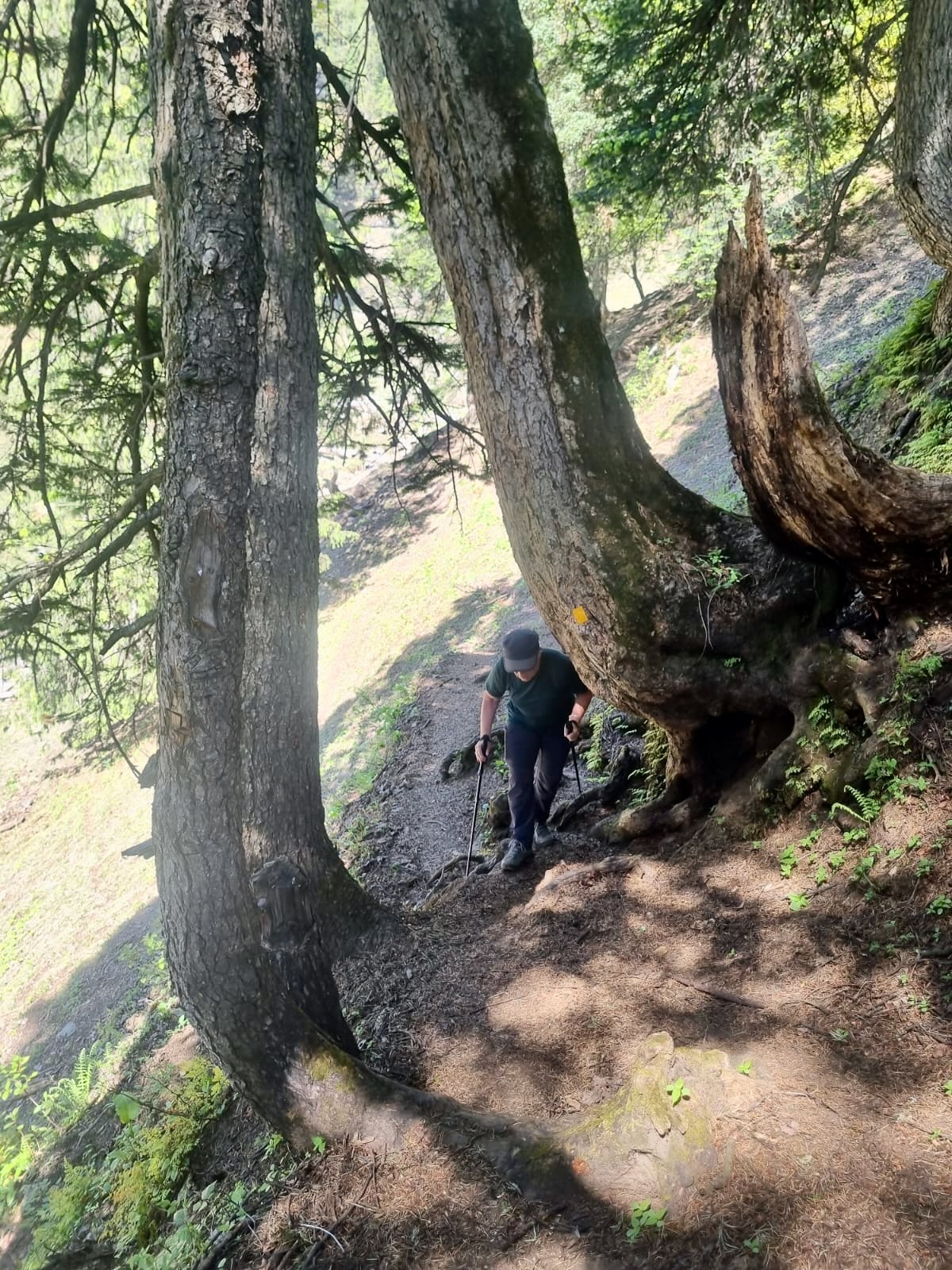
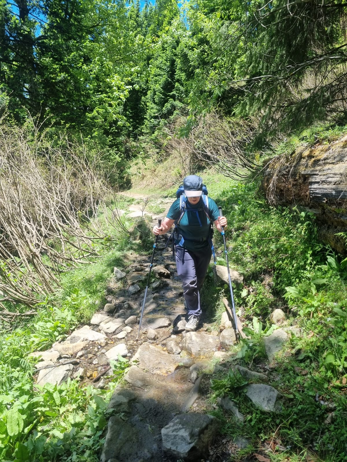
And then came the tough descent. I had known beforehand that it would be hard and figured I needed the training anyway. With my hiking poles and without the backpack, it was manageable — but I was still pretty exhausted afterward. One last picture, almost at the bottom.
At one point along the way, we found a flat rock where I lay down and stretched a bit. It actually worked wonders — my back was fine again afterward! Despite the tough descent, I really loved this hike and would definitely recommend it.
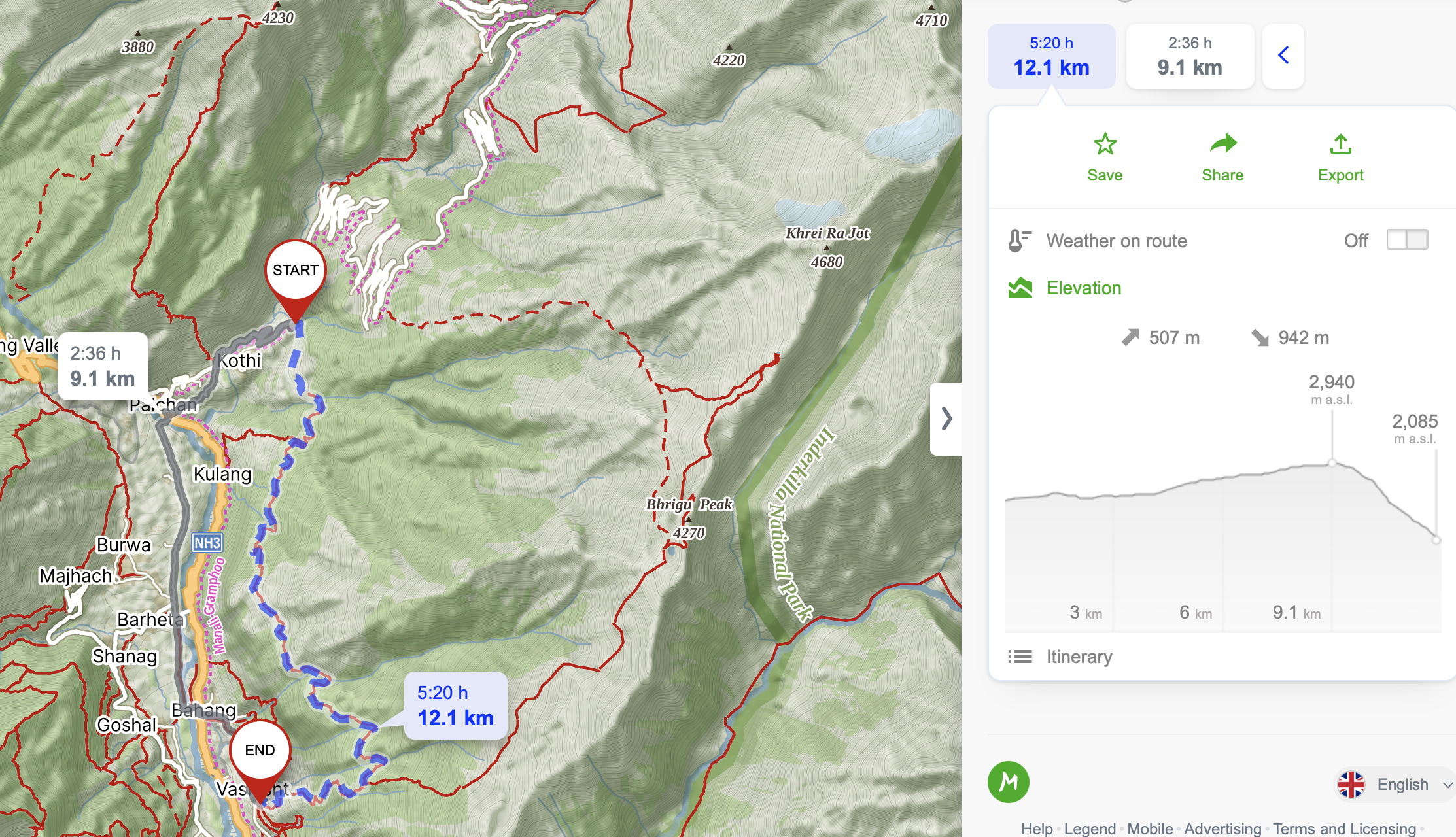
Dhundi-Valley
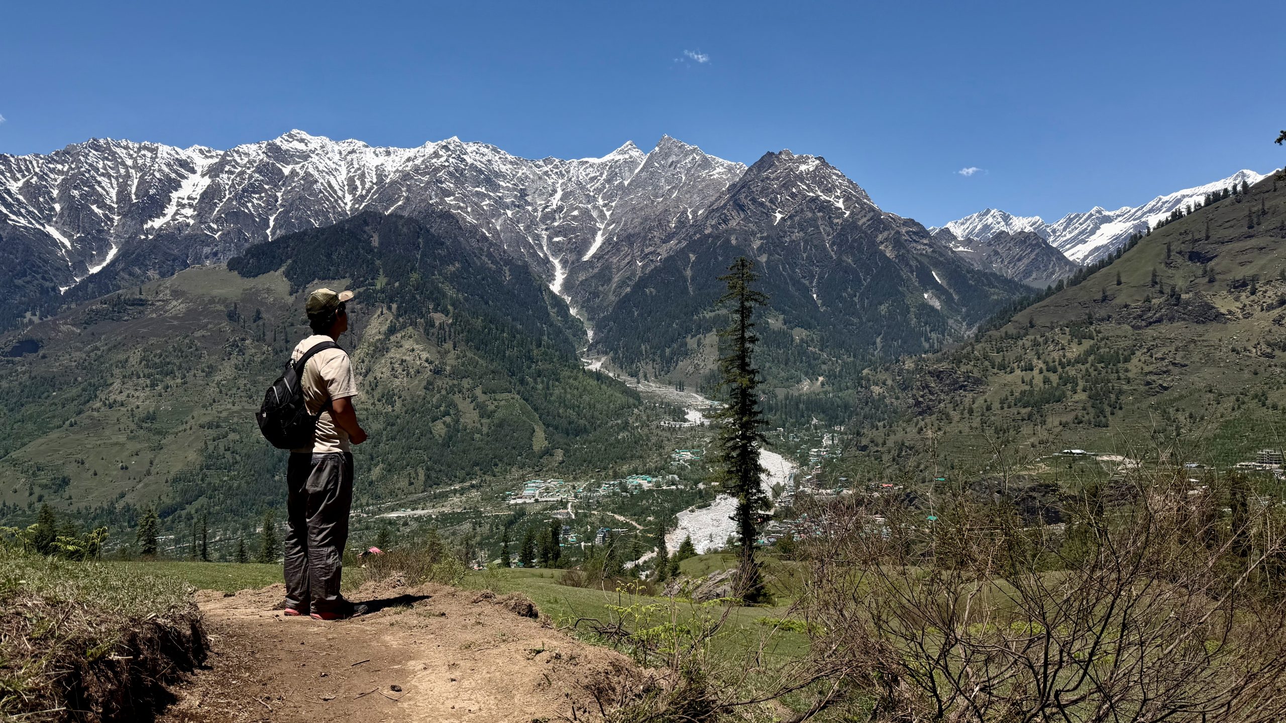
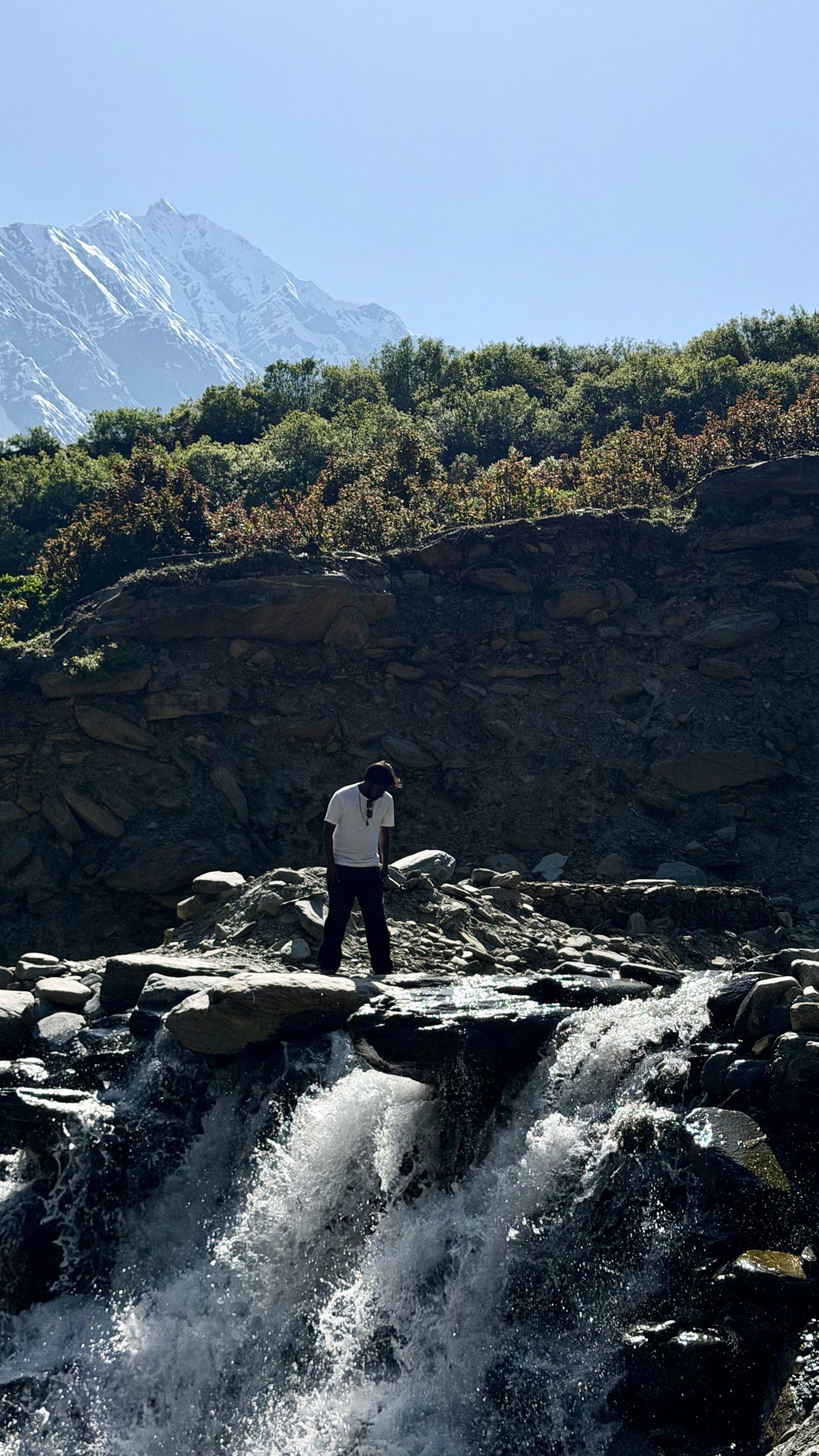
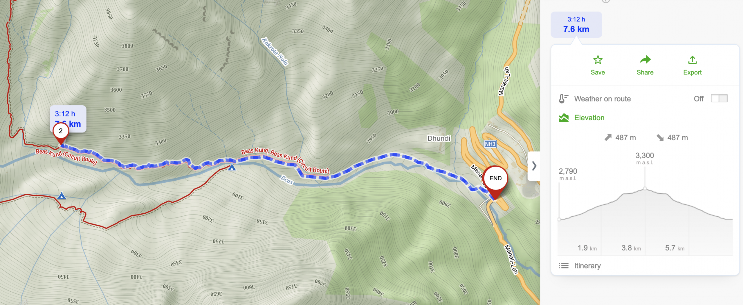
For the last day, I went back and forth quite a bit trying to decide what to do. My legs really didn’t feel like doing much more descending, the temperatures were high, I wanted to hike higher up, and it needed to be reachable by bus. That didn’t leave many options. In the end, we ended up in the valley where people start the trek to Friendship Peak (5,289 m) or to the glacial lake Beas Kund. You can also do a circuit via the base camp (called Lady’s Leg) and then continue to Beas Kund — but I immediately knew that would be too much for me. So instead, the plan was simply to walk into the valley and back out again, which actually sounded pretty perfect.
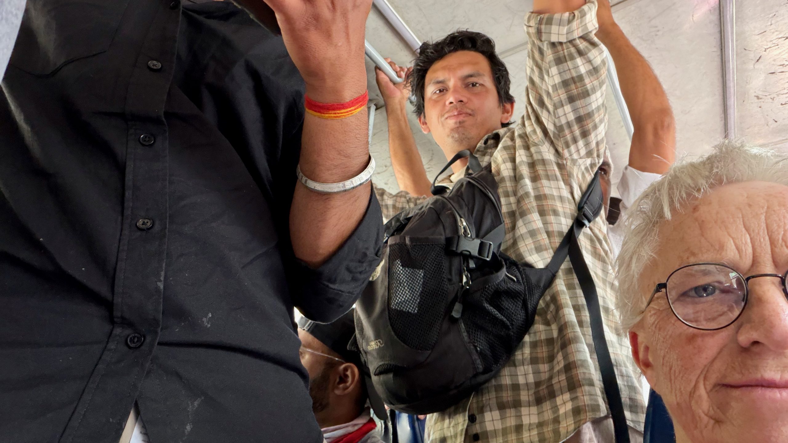
Sometimes white hair is actually great: on the overcrowded bus, I was immediately offered a seat!
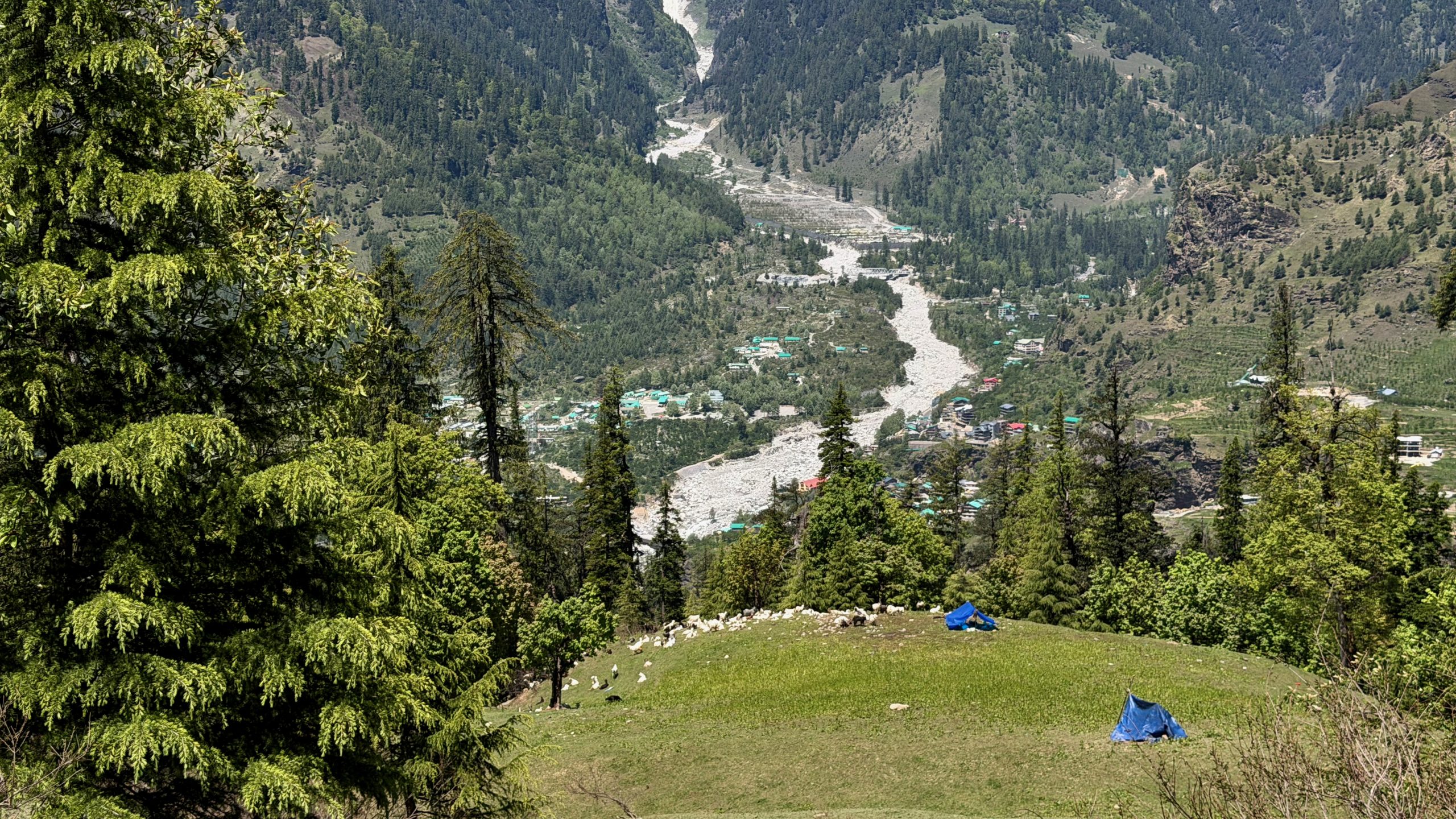
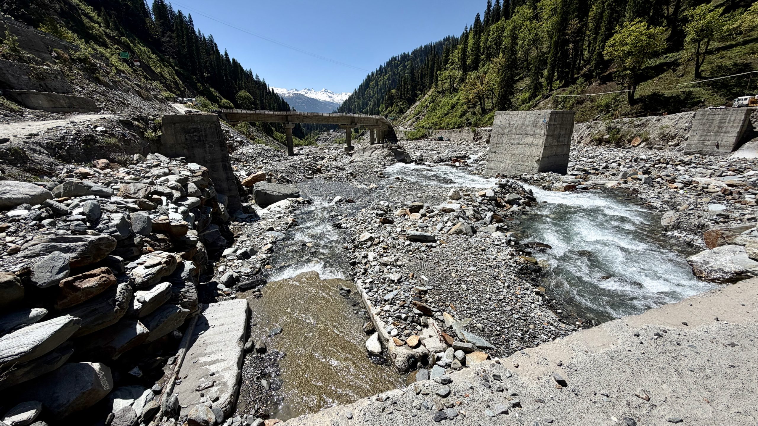
The starting point itself isn’t particularly beautiful. It’s just before the big tunnel, and at some point people thought they could build a hydroelectric power plant here. But nature is simply too powerful, and everything kept getting destroyed again almost immediately. They’re still digging and working around there, though I’m not entirely sure what exactly they’re doing now.
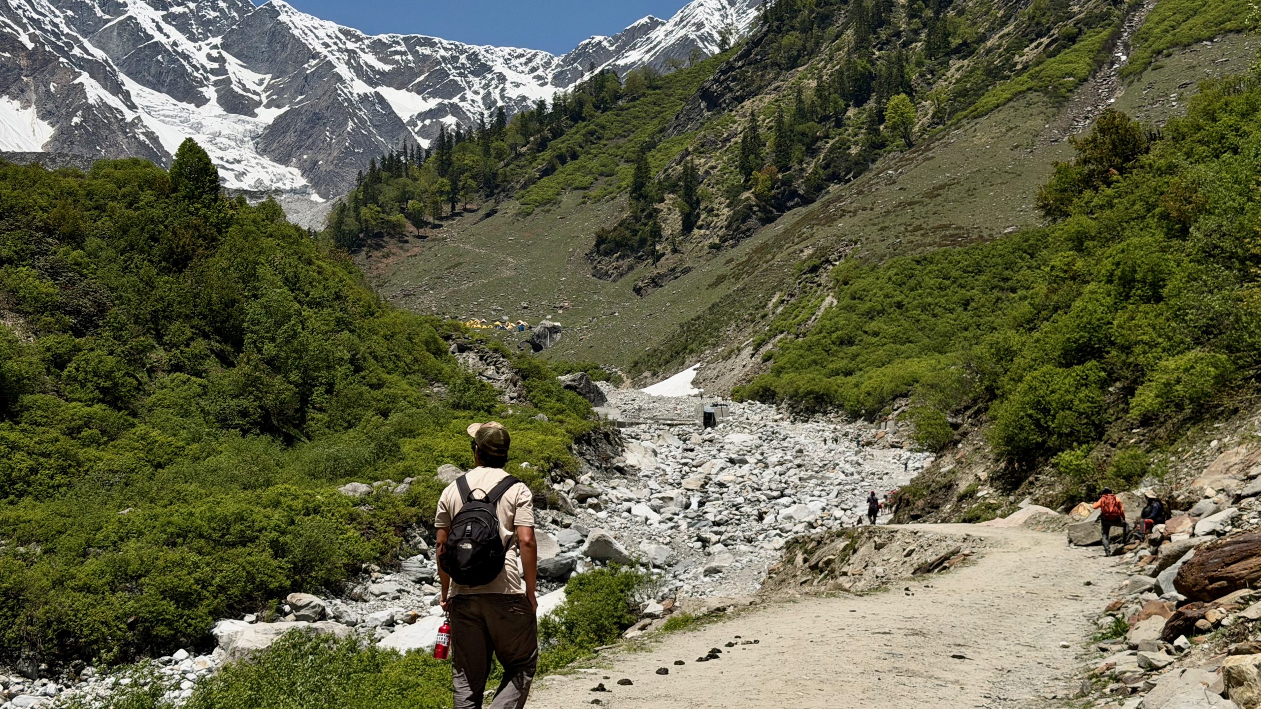
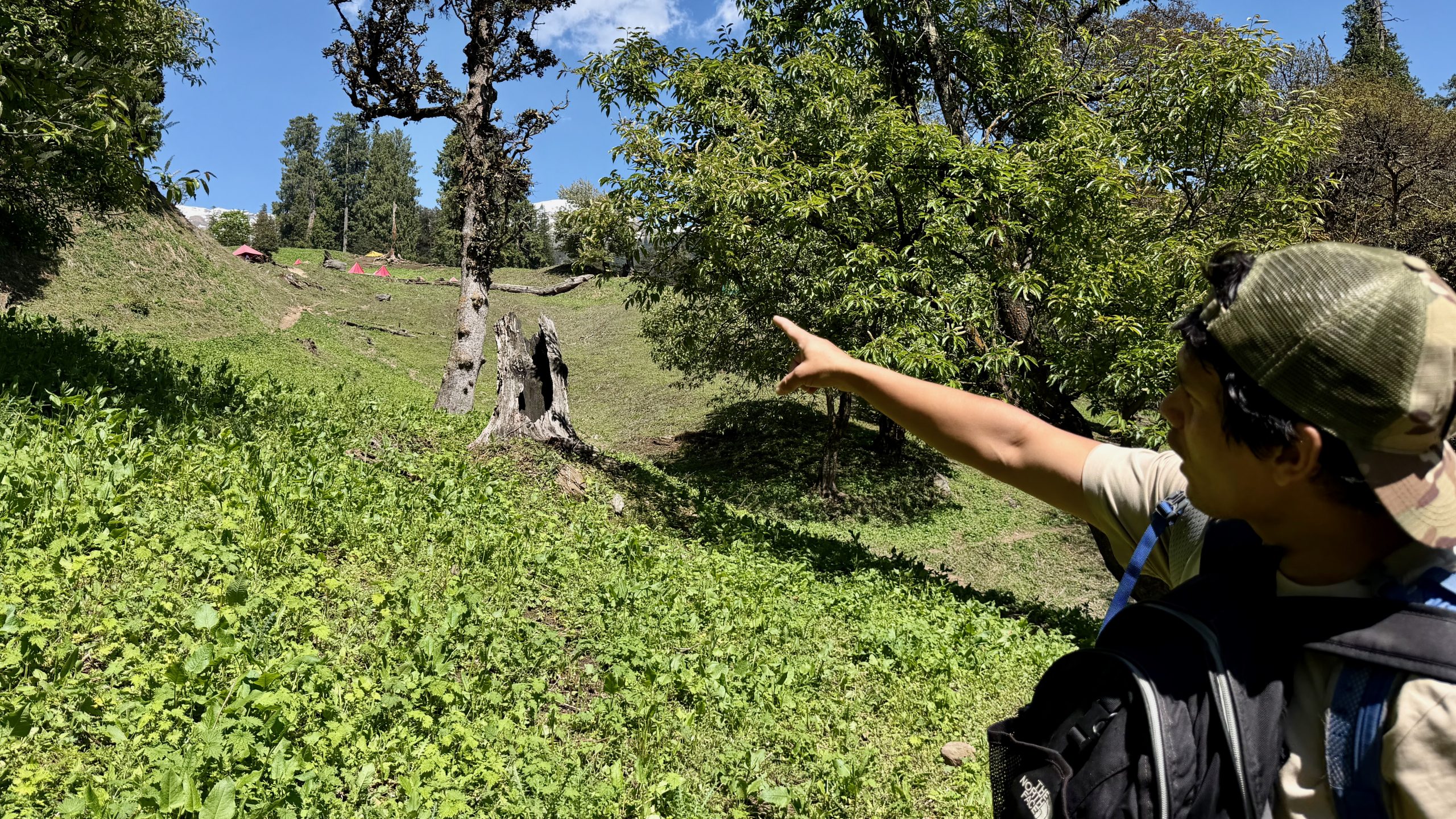
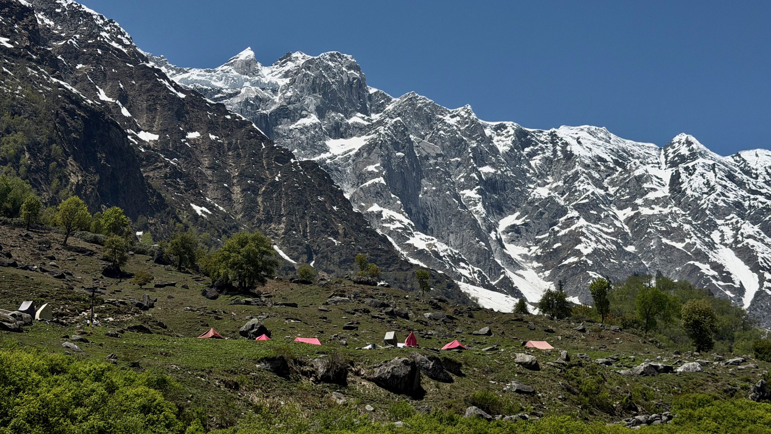
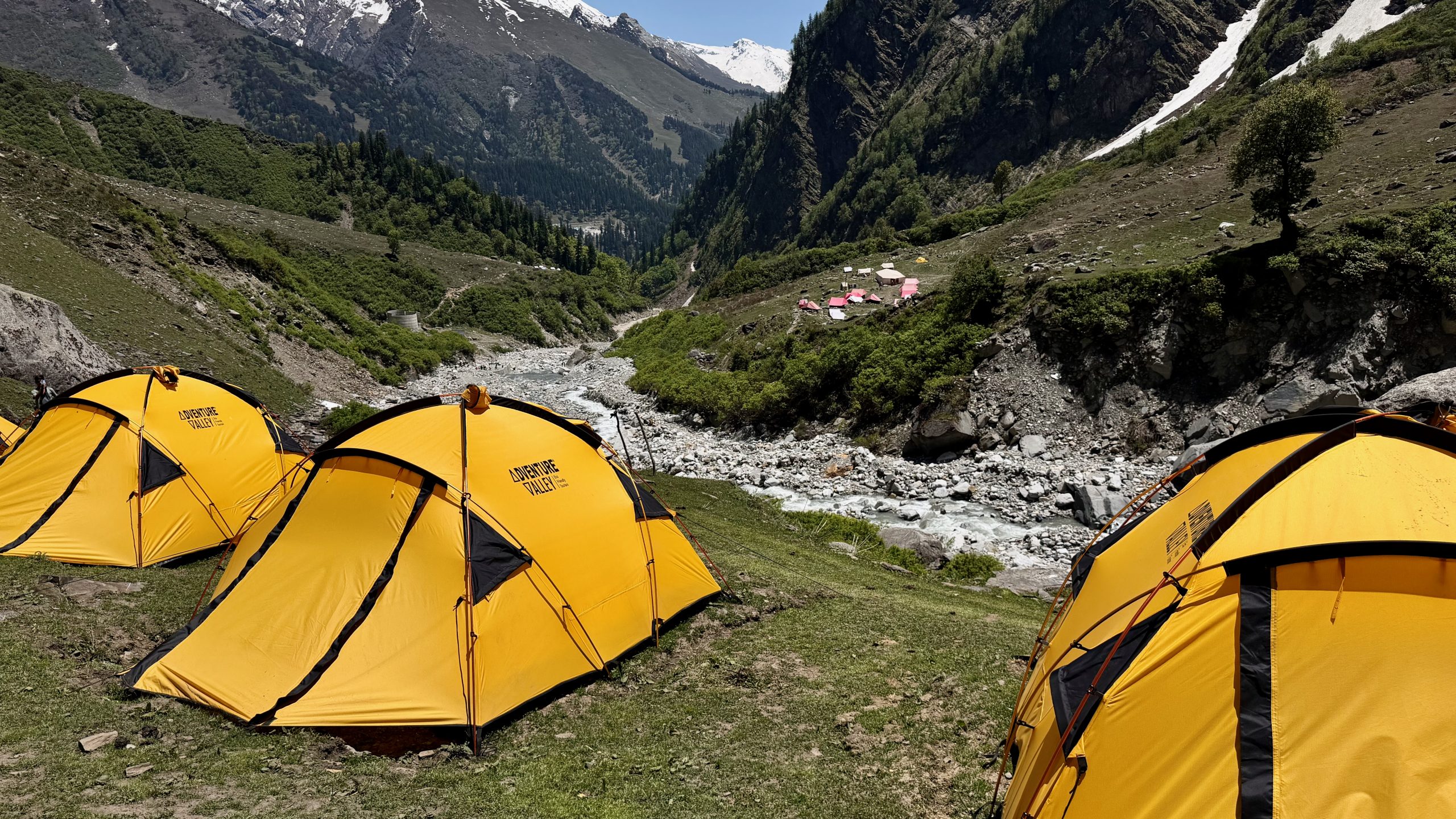
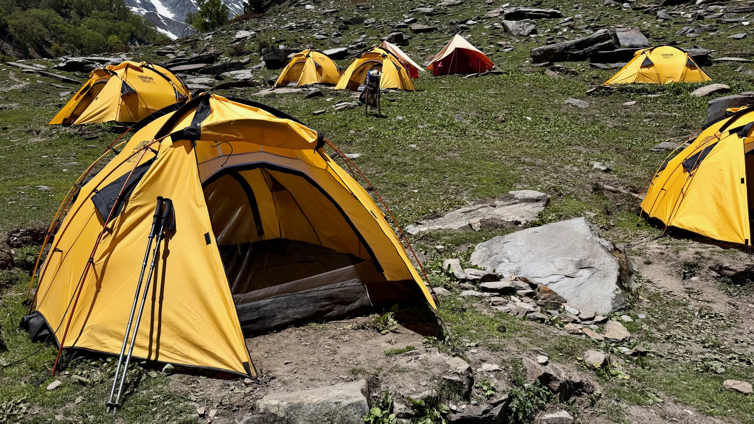
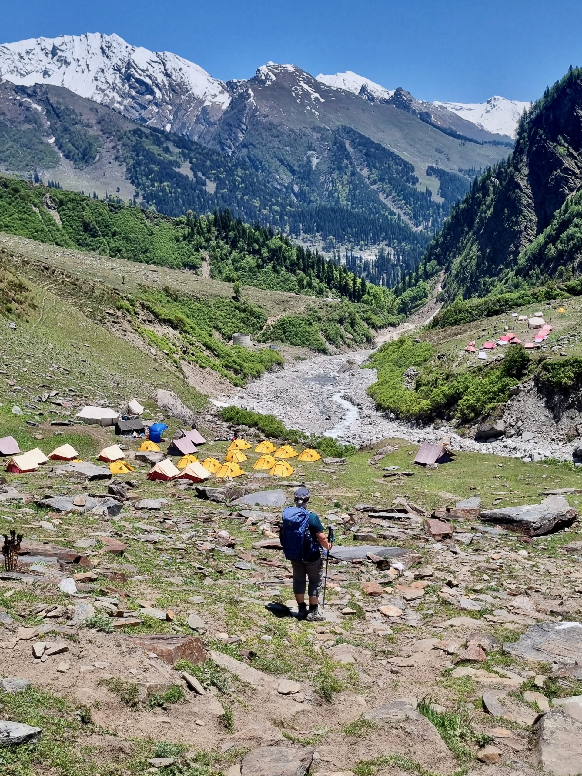
Here as well, there were lots of camps and many children and teenagers from Gujarat. But there were also adults booking the camps and doing overnight trekking circuits. It really is perfect for that — the landscape is absolutely stunning!
So we wandered along at a leisurely pace and simply enjoyed everything. I ended up lingering quite a while chatting with a German-Swiss couple who were taking a break there. It was actually really nice, for a change, to speak with people from back home again. The two of them are still finding their rhythm a bit — he has been here several times before and loves the wilderness and adventure, while for her it’s the first time, including camping, and she’s still not entirely sure how she feels about it all. They still have five weeks ahead of them and are also generally heading north — so who knows, maybe we’ll run into each other again somewhere.
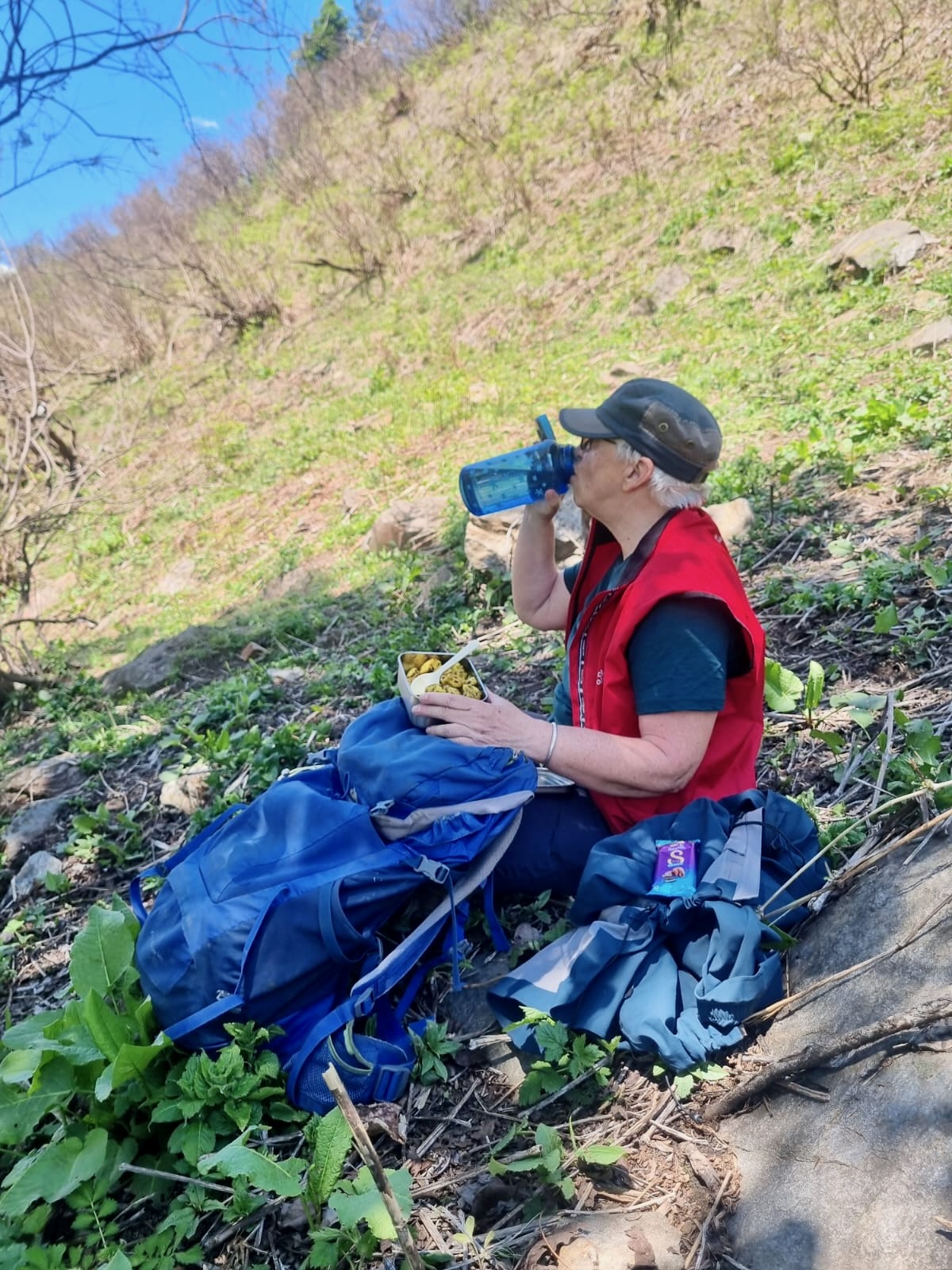
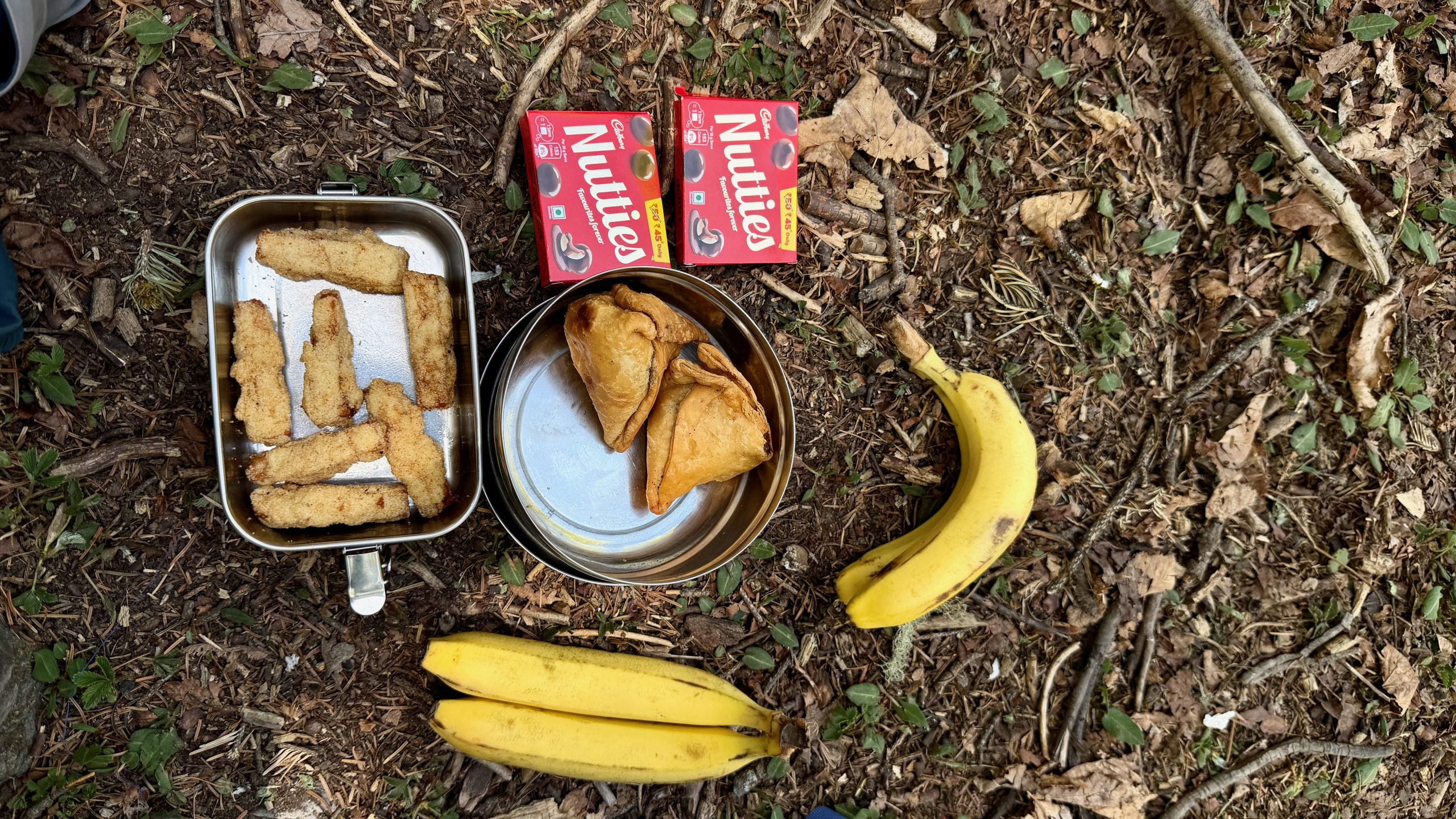
In any case, it was wonderful to spend so much time just sitting around, watching the landscape, other people, and the sheep and goats — and of course we had lunch as well. The cheese sticks weren’t particularly tasty, but they were practical. The samosas were good. The day before, I had brought some unphotographed cold aloo jeera (potatoes with cumin), which turned out to be an excellent choice. At the moment, I’m experimenting a bit to see what kinds of food make good lunch packs here.
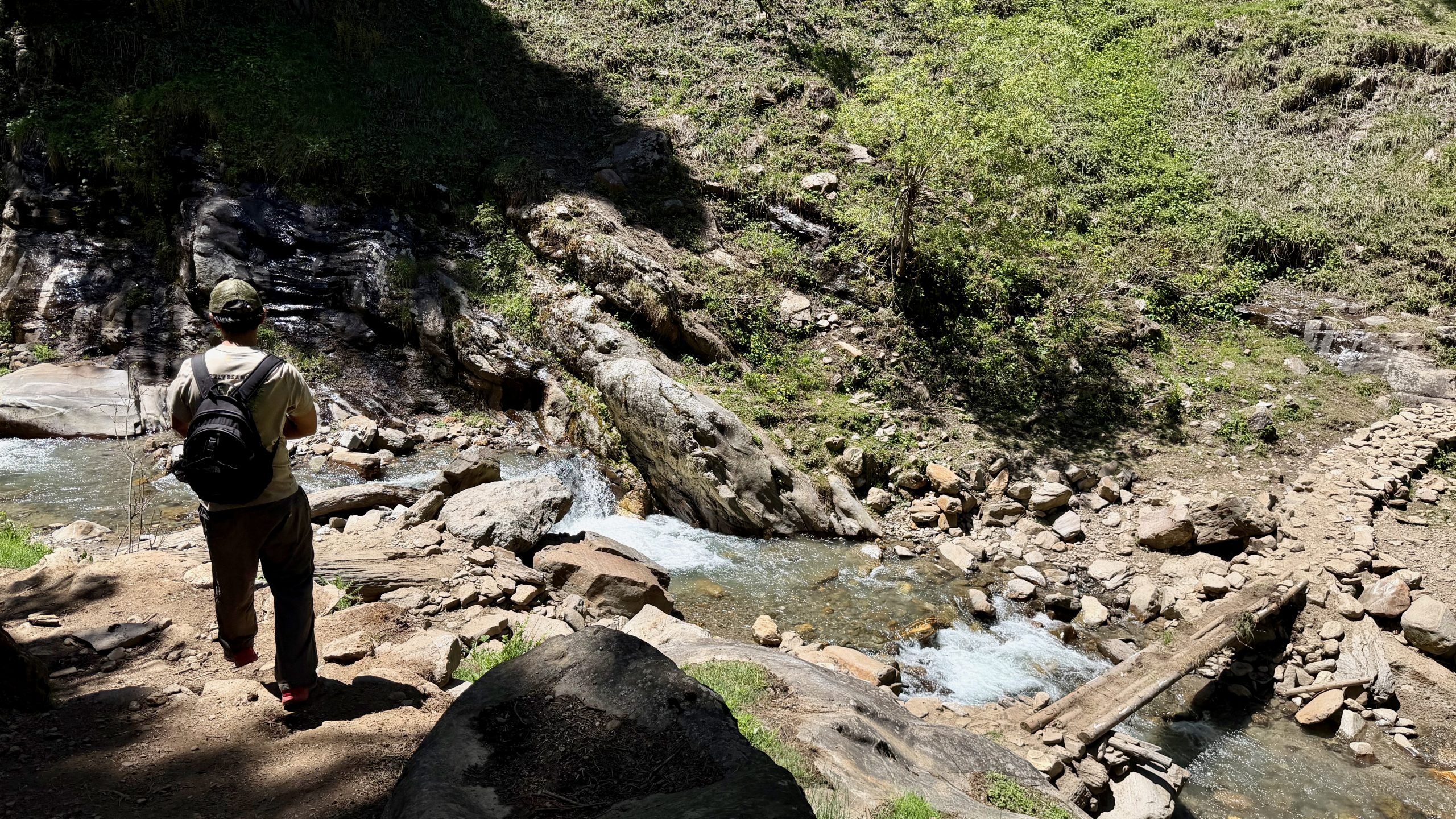
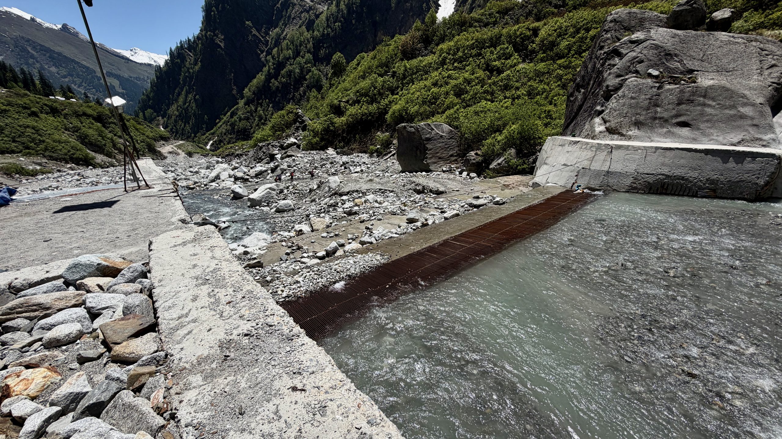
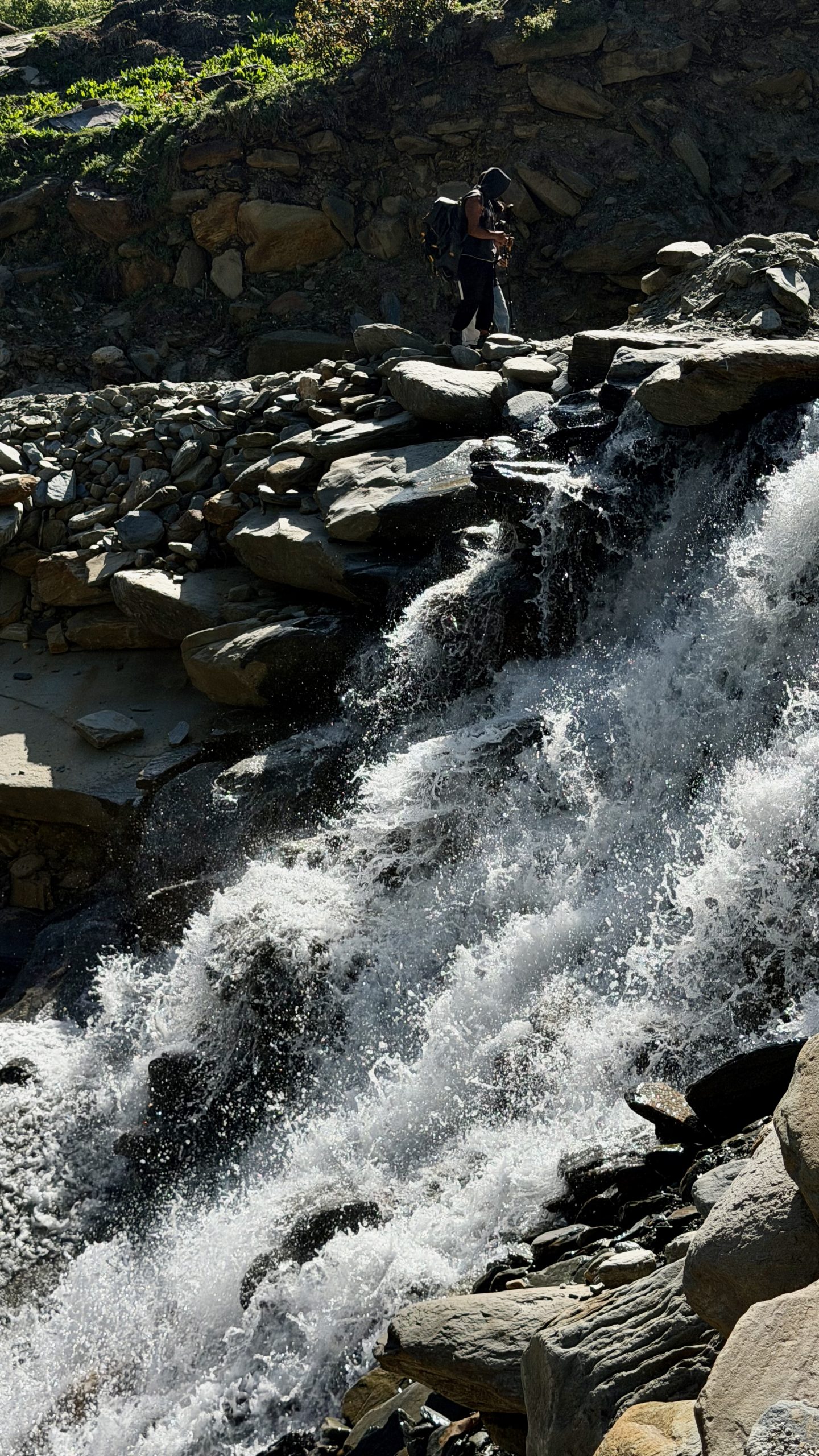
On the way back, further down the valley, things became exciting once more. There was a river crossing that I only managed by holding someone’s hand. We could also see people standing on the opposite side of the main river who actually wanted to cross over. But by then it was no longer possible — the river had swollen too much and had become too deep and forceful. It was a group of teenage students from Gujarat, and Raju was scolding their supervisors, saying they should have known better and started earlier in the day. Now the group had to turn back and spend an extra night at their camp.
This is the small river crossing:
Things became stressful and rather tedious once again down by the road. Buses pass incredibly rarely there, and the bus stop was already quite crowded with people. Raju feared we’d end up having to stand the whole way and urged me to walk farther along the road toward the approaching bus. I, meanwhile, was secretly hoping we might hitchhike instead.
Countless cars drove past us. Either they were full — or empty, but not stopping. Even some that were actually taxis didn’t stop. The bus took forever to arrive. But everyone wandering around there still remained strangely hopeful that eventually one would come. At one point, a tourist from Jaisalmer stopped to chat with us during a break in traffic (though his car really was completely packed). Back home, he said, temperatures were already above 50 degrees. Around 5:30 p.m., I was ready to give up and maybe call a taxi after all. But then — yes! — we finally got lucky. A local man working for the police in Koksar (beyond the big tunnel) stopped for us. So we ended up driving back comfortably and quickly — and didn’t even have to pay anything! Because apparently, if a policeman gives you a ride, you don’t offer him money.
For me, this kind of “teaser hike” was absolutely perfect. I was up at altitude (3,300 m), got a wonderful overview of what the area looks like, and could already imagine all the different ways one might explore it further.
My resumée:
- Despite the beautiful hikes, Manali itself is hardly worth staying in for any longer these days.
- The hikes themselves really brought me joy, even though my body was still a bit too weak and sluggish.
- A little bit of altitude had been included
- Even if you can find the trails on your own, it’s nice to have company — someone who tells you about their life, shares a bit more about the area, and looks out for you.
- Raju is a great companion — very easy and pleasant to have around. He doesn’t know all that much about botany and things like that, but for me personally, that didn’t matter at all.
- I was satisfied with how I had planned things, but at the same time I didn’t feel sad about leaving the area behind.
I’ll write a little more about Manali itself and some other observations in the next blog post.